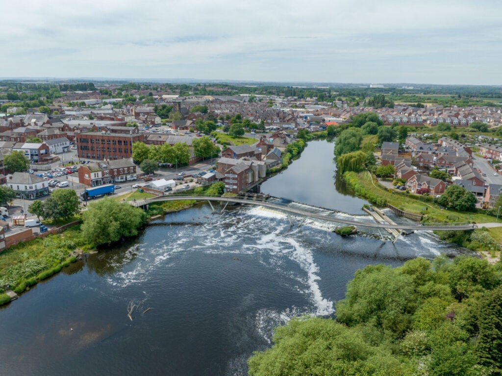
This walk from Wakefield to Castleford combines lovely countryside with a step into the region’s industrial past.

Table of Contents
The Route
- what3words for start point: ///evenly.mental.burns
- Start Point: Wakefield
- Finish Point: Castleford
- Distance: 9 Miles
GPX Route Map
Download file for GPSWalk Description
Follow the route of Wakefield canal from the centre of the town on the river Calder to Castleford and take in the pretty scenery as well as the industrial heritage of the region. Highlights of the walk are the Stanley Ferry aqueducts, one Victorian structure and the other a modern construction in the 1980’s built to compliment the original. You will also see the southlands wetlands centre on route and this is a nice stop off for the family. The walk also passes very close to the world famous Hepworth gallery before heading off to Castleford.


