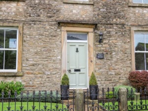
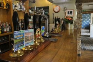
This walk explores the fantastic variety of landscapes that Wharfedale has to offer, as well as visiting two lovely villages.
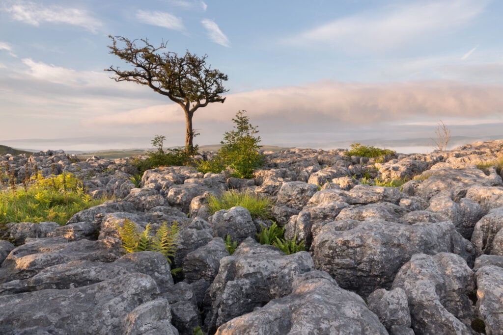
Table of Contents
The Route
- what3words for start point: ///wriggled.smile.squeezed
- Start Point: Kettlewell
- Finish Point: Kettlewell
- Distance: 10 Miles
GPX Route Map
Download file for GPSWalk Description
Kettlewell is one of the finest villages in the Yorkshire Dales, set in the magnificent glaciated U-shaped valley of Upper Wharfedale, cradled by moorland heights and rolling fells. With its history stretching back to the Saxons (this was ‘Ketel’s spring’), Kettlewell prospered in the 18th & 19th Centuries with the development of lead mining on the surrounding hills as well as regular markets and fairs, not to mention the many traders and travellers who came this way on the numerous packhorse routes that still criss-cross the hills. Today, the village is well known for its annual Scarecrow Festival and was used as the location for ‘Knapely’ in the 2003 film Calendar Girls.
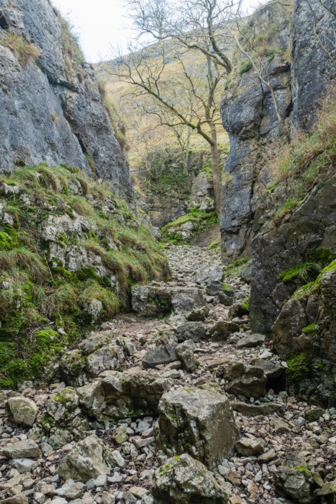
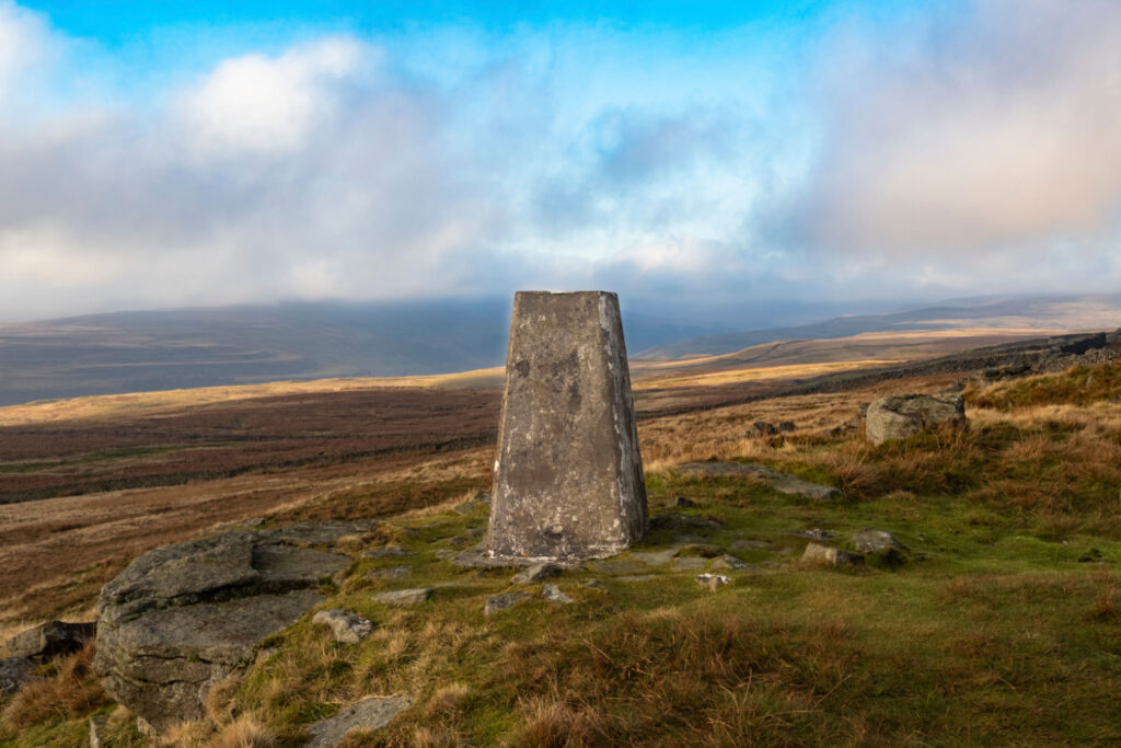
From Kettlewell, this route follows the old ‘peat road’ (peat was once cut a dried on the moorland and used as fuel in people’s homes) up to the wonderful viewpoint of Capplestone Gate with its many old lead mine workings; note the change in rock from limestone to gritstone. The OS Trig Point lies just off the path, and is the perfect spot for a break to admire the view. We then drop down Conistone Turf Road, another old peat road, to reach Conistone Dib, a magnificent limestone gorge, only a few feet wide in places, that was scoured out 12,000 years ago by glacial meltwaters. This gorge leads to the attractive village of Conistone and St Mary’s Church, the oldest church in Craven that dates back to pre-Conquest times.
The return leg of this walk follows the Dales Way back to Kettlewell, a wonderful high-level route with far-reaching views. Of particular note is Conistone Pie, a prominent outcrop of limestone that affords wonderful views towards the confluence of the rivers Skirfare (Littondale) and Wharfe (Wharfedale), known as Amerdale Dub. Indeed, the old name for Littondale was Amerdale.
A close look at the map will reveal numerous ancient settlements in this area, many dating back to the Iron Age; their rough stone walls clearly visible and well worth seeking out.
Watch Baroness Sayeeda Warsi walk this route on the BBC iPlayer

