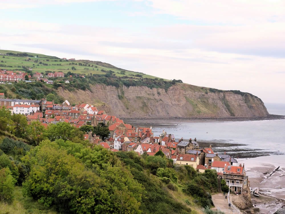
Robin Hood’s Bay (the name of the bay itself and the delightful village at its north end) is a lovely semi circle of sand flanked by cliffs reaching to Ravenscar.

Table of Contents
The Route
- what3words for start point: ///ditching.bluffs.political
- Start Point: Upper Robin Hood’s Bay
- Finish Point: Robin Hood’s Bay
- Distance: 7.5 Miles
Getting there
Robin Hood’s Bay is best accessed by car with a public car park located at the top of the village.
GPX Route Map
Download file for GPSWalk Description
Start the walk by descending through the narrow streets of this old smugglers village before leaving it near the beach. Follow the Cleveland Way signs past the well, named Boggle Hole, to the end of the bay.
Climb steeply up the path through fields to Ravenscar and the wonderfully situated hotel overlooking the cliff edge. To vary the return follow the Old Railway line inland before descending back in to the bay. It is perfectly possible (outside high tide) to spend some of the walk near the village on the beach itself.
This is a perfect walk to add to your #WalkshireWishlist for the Spring or Autumn seasons, as the wetter weather can make the terrain muddier and the route more challenging than usual.
Lunch
The Victoria Hotel and the Flask Inn both serve food.


