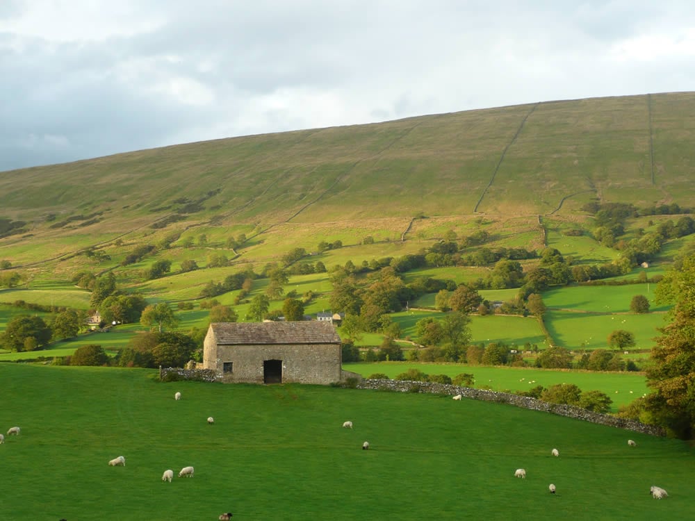
An easy walk alongside the pretty river Dee in Dentdale. Dentdale is a hidden valley with relatively few visitors centred around the cobbled streets of Dent the village.

Table of Contents
The Route
- what3words for start point: ///inflates.mammoth.buyers
- Start Point: Car Park at the west end of Dent village
- Finish Point: Dent village
- Distance: 7 Miles
Getting there
Dent is best reached by car, but there is a train station on the picturesque Settle-Carlisle line. Dent Station is the highest mainline station in England at 1,150 feet above sea level.
GPX Route Map
Download file for GPSWalk Description
The village of Dent lies in the heart of Dentdale. The walk sticks close to the River Dee and the walking is a mixture of quiet roads, farm tracks and riverside footpaths. Dentdale is very much a farmer’s dale with many working practices seemingly unchanged over the years. Head out on the southern banks of the river from Dent before doubling back on its northern bank. The views are limited by the steep mountain flanks of Whernside and Aye Gill Pike but this adds to a very attractive and easy low level walk.
Dinner
Why not call in at the charming town of Kirkby Lonsdale for dinner, or, if heading over the tops through Widdale on your way home, get some fish & chips in Hawes.


