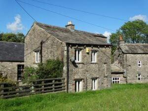
From Settle to Hadrian’s Wall and back the walk showcases the wonderful variety of walking experiences available within northern England with its mountains, moorland and river valleys.
Table of Contents
The Route
- what3words for start point: ///watchdogs.gifts.trash
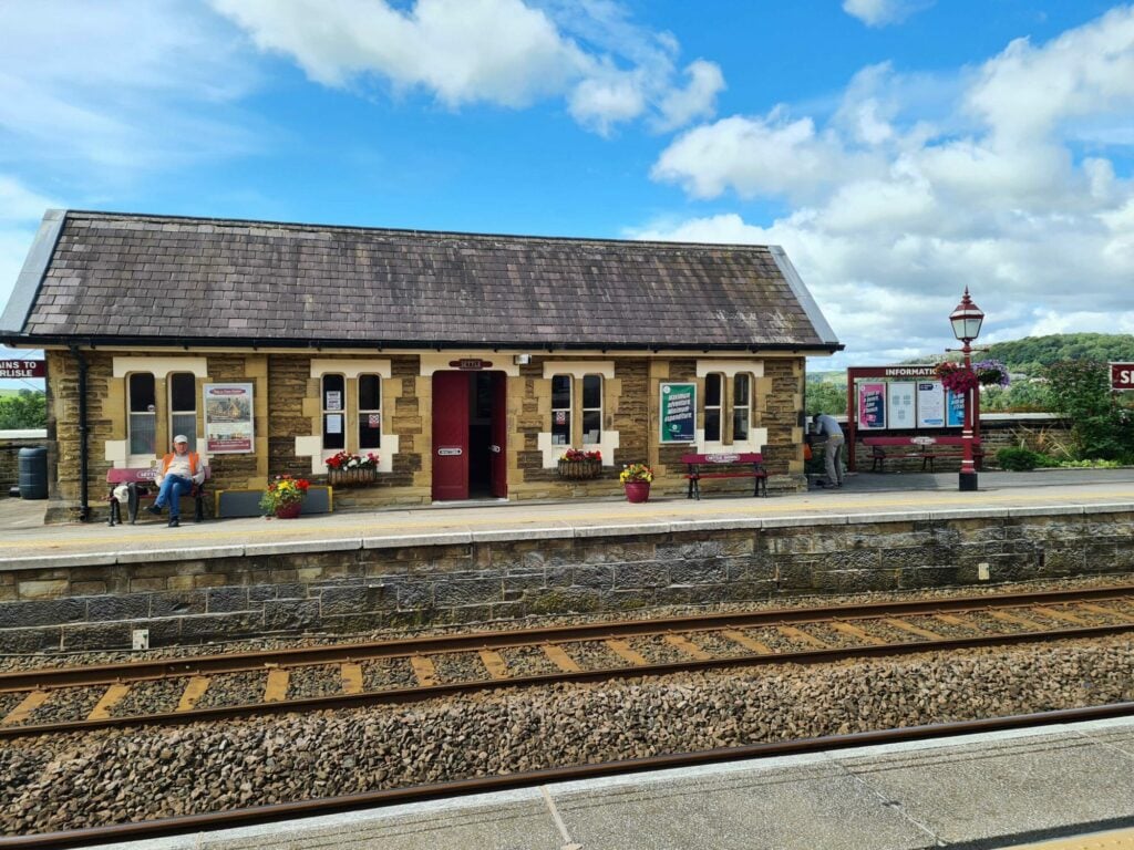
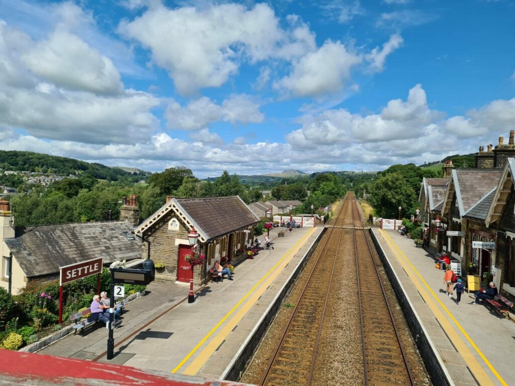
- Start Point: Settle station
- Finish Point: Settle station
- Distance: 247 Miles
GPX Route Map
Download file for GPSWalk Description
A Pennine Journey is a circular long-distance footpath in northern England originally devised and walked by the Yorkshire-born Lakeland fells guide book writer Alfred Wainwright in 1938. It is 247 miles (388 km) long, starts and ends at Settle in North Yorkshire and traverses some of the most delightful terrain that northern England has to offer.
Of its 247 miles route over 220 miles lies within the Yorkshire Dales National Park, the North Pennines Area of Outstanding Natural Beauty and Northumberland National Park. During the route it touches on sections of the Pennine Way and Hadrian’s Wall Path National Trails and crosses Alfred Wainwright’s Coast to Coast Walk at it’s half way point at Keld.
Yorkshire highlights on its way north are Hull Pot, reputedly the largest hole in England, followed by stretches of Wharfedale and Swaledale before the route leaves Yorkshire soon after passing the 17C Tan Hill Inn – at 1732 feet the highest pub in England.
On its return to Settle it enters the Yorkshire Dales at Garsdale, which has a station on the Settle-Carlisle Railway Line, passes close to the book town of Sedbergh before arriving back in limestone country at Ingleton after the ascent of one of the Three Peaks – Whernside. The final day from Ingleton sees the ascent of another of the Three Peaks, Ingleborough, before the journey ends back in Settle.
