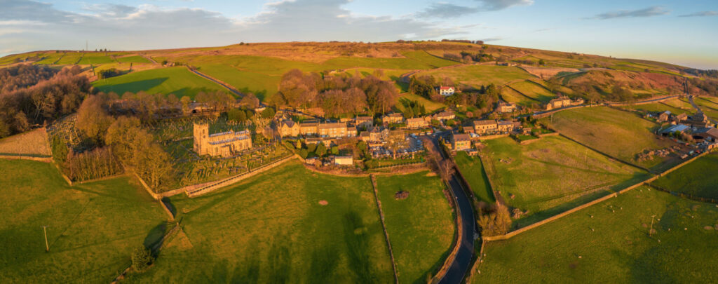
A great walk taking in the woods and fields in the Ryburn Valley between the Ryburn and Baitings Reservoirs.

Table of Contents
The Route
- what3words for start point: ///pilots.large.voices
- Start / Finish Point: Car park off The Sands road in Low Bradfield, S6 6LA
- Distance: 5 Miles
GPX Route Map
Download file for GPSWalk Description
From the entrance of the car park, turn right and head along the walled track along the car park and playground, towards the footbridge and ford. Don’t cross the river, but instead head up the stream along the riverside path to the next bridge. Cross this bridge and carry on up the steps on the far bank to a stone stile and gap in the wall.
Head left after the wall and then up the enclosed path alongside a field to get to a road. Cross the road carefully, and go through the gate in the direction of the public footpath sign. The path here is clear on the ground, to reach a stile. Then, keep close to the right-hand edge of the next field, and to the left-hand wall of the next narrow field, to get to the gate at the top.
In the next field, keep the wall on your right and head for the church tower. At the churchyard, go through the gate and walk along the path round to the road. The path goes uphill for a short while, then goes left over some stone steps on a public footpath running through the church grounds. Keep on the path, near to the wall, to the edge of the wood.
Once in the woods, continue straight ahead as the path drops slightly. After a while, the path heads left in between some stone posts. At the bottom of the hill, go through a gate, across a stream, and the path curves left to become a walled lane. At the end of the left-hand wall, turn right, then left across the field, keeping the scattering of trees on your right. Go to the right of the big trees on the left, following the path on the ground. Turn right between two groups of trees, then left, keeping a line of trees to your left. The path swaps to the left side of the trees, past some buildings and then to the left between stone walls to reach a road.
Climb the stone stile, turning left on the road, then right down the side road. Turn left at the wooden stile, and follow the path as it drops all the way down to a wood. Follow the path to the right, then left at the field wall to reach the Agden Reservoir.
Turn right, past the end of the reservoir and follow the path as it turns to the left and crosses Agden Dike. Continue on the path as it follows a line of trees on the left, and then to the left again to cross Emlin Dike. Follow the footpath all the way to meet Windy Bank road. Turn left, to follow the road towards the embankment at the southern edge of the reservoir. Carry on, and turn left at the T-junction, then turn left again to return to the car park.


