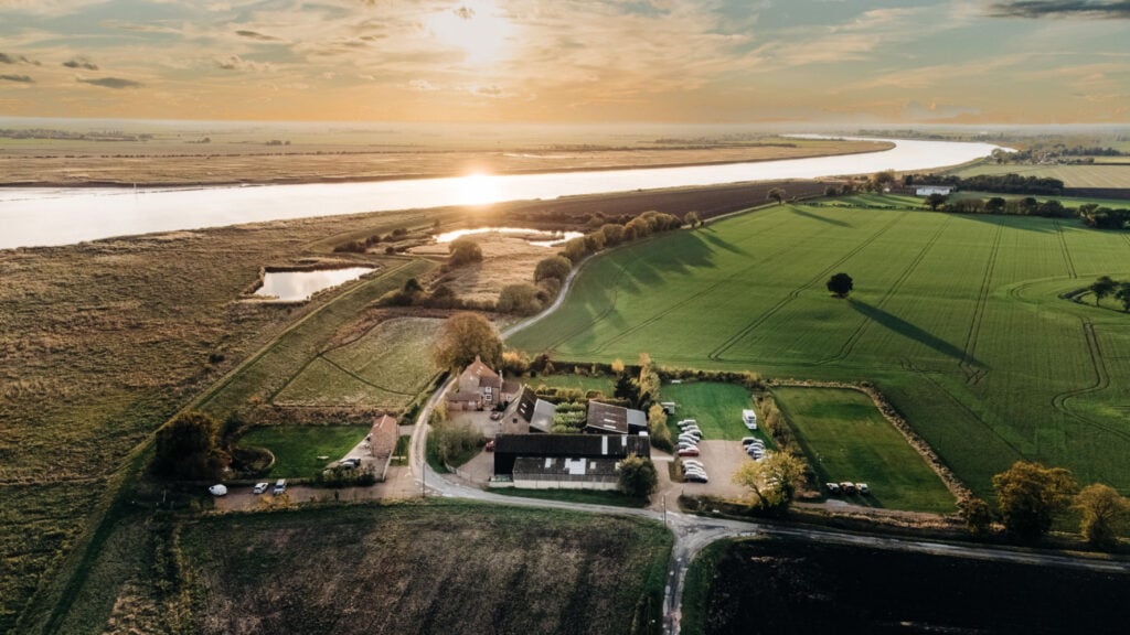
Epic skies aplenty across the flat lands of Broomfleet alongside the Market Weighton Canal.

Table of Contents
The Route
- what3words for start point: ///lifestyle.stuffy.trumpet
- Start Point: Broomfleet railway station, Carr Lane. HU15 1RQ
- Finish Point: Broomfleet railway station, Carr Lane. HU15 1RQ
- Distance: 5 Miles
GPX Route Map
Download file for GPSWalk Description
Start at Broomfleet station. With the station behind you, turn left to walk along Carr Lane. Although Carr Lane isn’t a busy road, take care and keep to the right hand side of the road to walk towards oncoming vehicles. As the road turns sharply to the right, turn left down onto the narrow road called Common Lane. Walk past Grange Farm and then Broomfleet House, whereafter the road becomes a track.
Continue down this track until it reaches the Market Weighton Canal. Turn left here, and continue on the track alongside the canal. Eventually you meet a gate, go through and carry on along the track – which becomes a road called Landing Lane. Carry along all the way down this road, past a cream house and a few other houses, when the road turns left. Go straight ahead here, and walk to the right of the pylon, alongside the canal.
Eventually, the track reaches the River Humber at Weighton Lock – with the wildfowl refuge of Whitton Island directly ahead. Turn left and follow the path between fields. This is now part of the Trans Pennine Trail (TPT). At the junction of paths, turn left to follow the TPT, ignoring the next path off on the right. When you reach Main Street in Broomfleet, turn right, again to follow the TPT. At the next road junction, turn left onto Carr Lane. Keep to the right of Carr Lane on the pavement, and follow it as it bends to the left then right to return to the station.
