The dry valleys of the Yorkshire Wolds (created by the chalk bedrock) form a unique and fascinating landscape well seen on this walk from Thixendale.

Table of Contents
The Route
- what3words for start point: ///lend.spark.drawn
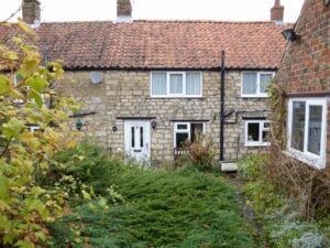
- Start Point: Thixendale
- Finish Point: Thixendale
- Distance: 7 Miles
GPX Route Map
Download file for GPSWalk Description
Thixendale is an attractive village with a pleasant pub. The walk climbs explores the uniform dry valleys to the north of the valley, particularly Deep Dale and the ruined settlement around Wharram Percy. The medieval settlement was deserted in 1500 but the remains offer an interesting perspective of life in the 500 years prior to that date. The return from Wharram Percy to Thixendale is a little longer and includes a second dry chalk valley. It is a unique landscape.