Welcome to Yorkshire
News • April 17th, 2024
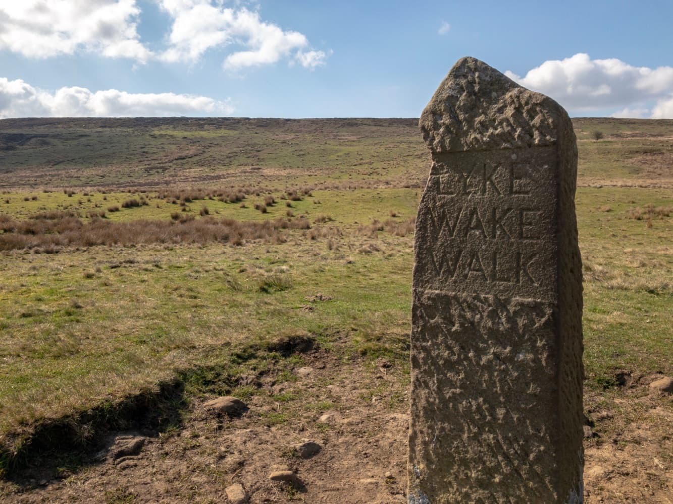
|The Lyke Wake Walk is a challenging long-distance path in North Yorkshire, England, spanning approximately 40 miles (64 km) across the North York Moors National Park. The route traditionally begins near Osmotherley on the western edge of the moors and ends at the coastal town of Ravenscar on the eastern side.

The Route
what3words for start point: ///tilting.gladiator.march
- Start Point: Quarry Ln, Osmotherley, Northallerton DL6 3AL
- Finish Point: Ravenscar
- Distance: 40 miles
GPX Route Map
Walk Description
The trail, established in 1955 by local farmer Bill Cowley, is named after the "Lyke Wake Dirge," a 14th-century funeral song. The dirge reflects on the soul's journey from Earth to the afterlife, a metaphor fitting for the traverse across the stark, expansive moorland.
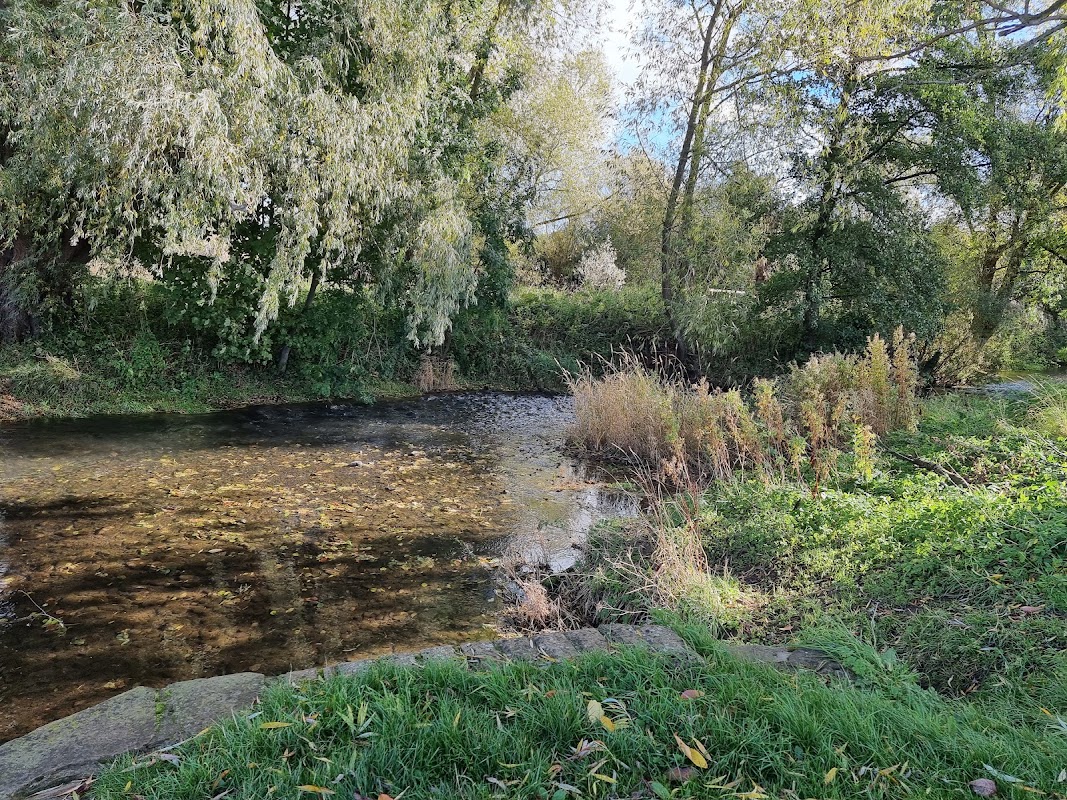
The walk is marked by diverse terrains, starting with the rolling hills near Osmotherley. It then ascends to the high, flat moorland plateau, characterized by peat bogs and heather expanses, offering panoramic views across the moors. The path crosses several forested areas and passes near or through notable landmarks such as the Wainstones, a distinctive rock formation, and the Lion Inn on Blakey Ridge, one of the highest public houses in England.
As walkers approach the eastern edge of the moors, the terrain descends through more wooded areas before reaching the dramatic cliffs above Ravenscar, looking out over the North Sea. The route is renowned not only for its natural beauty but also for its historical and archaeological significance, featuring ancient standing stones and burial mounds.
Completing the Lyke Wake Walk within 24 hours is a popular challenge among hikers, often undertaken as part of a group. Those who accomplish this feat are humorously referred to as "Dirgers" in homage to the walk’s funereal namesake.
Yorkshire Team
The Yorkshire.com editorial team is made up of local writers, content creators, and tourism specialists who are passionate about showcasing the very best of God’s Own Country. With deep roots in Yorkshire’s communities, culture, food scene, landscapes, and visitor economy, the team works closely with local businesses, venues, and organisations to bring readers the latest news, events, travel inspiration, and insider guides from across the region. From hidden gems to headline festivals, Yorkshire.com is dedicated to celebrating everything that makes Yorkshire such a special place to live, work, and visit.
View all articles →
Comments
0 Contributions
No comments yet. Be the first to start the conversation!