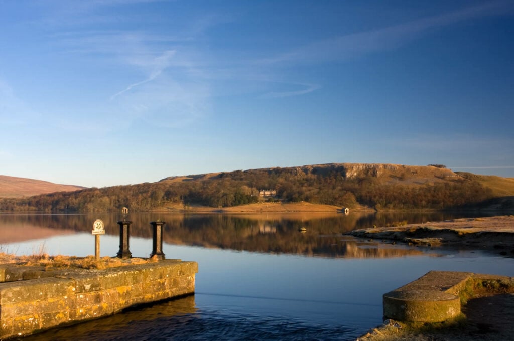
A peaceful walk around beautiful Malham Tarn. Whilst walking round the lake, look out and listen for great crested grebe, moorhen, coot, tufted duck and teal.

Table of Contents
The Route
- what3words for start point: ///unto.processor.expect
- Start Point: Yorkshire Dales National Park, Pennine Way, Settle, Skipton BD23 4DJ
- Distance: 3.1 Miles
GPX Route Map
Download file for GPSWalk Description
This 2.5km footpath starts at the National Trust car park. The first 500m of the route are rough grass up to a gradient of 1:10. From here, the route joins a well-surfaced track with a general width of at least 300cm. There is a wheelchair accessible boardwalk loop providing access to the nature reserve at the Water Houses end.
The tarn is said to be the highest marl lake in Britain and is rich in submerged aquatic plants. Whilst walking round the lake, look out and listen for great crested grebe, moorhen, coot, tufted duck and teal.


