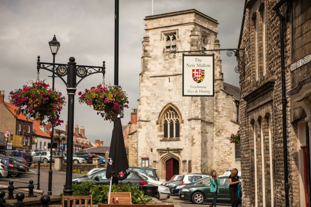
Malton and Swinton is a 9.8 kilometer loop trail located near Malton, North Yorkshire, England and is rated as moderate. The trail is primarily used for hiking, walking, and trail running.

Table of Contents
The Route
- what3words for start point: ///stardom.outfitter.leap
- Start / Finish Point: Malton, YO17 7LW
- Distance: 6 Miles
GPX Route Map
Download file for GPSWalk Description
A circular walk from the market town of Malton in Ryedale. The route heads north-west, leaving the town via the footbridge over the A64 to visit the two pretty villages of Broughton and Swinton, with chance for refreshments at the Smithy Arms in Swinton and plenty of tranquil paths to enjoy.
The walk is relatively flat with only a couple of slopes. The route follows a mixture of pavements, quiet lanes, grass tracks and field paths, the latter two of which can be muddy after wet weather. There are no stiles on route, but you will need to negotiate three steps, a few single gates and two kissing gates. The route crosses crop fields and meadows, but you will not be sharing the paths with any livestock. There are a few road crossings that need care, and a few stretches of the route follow quiet country lanes without pavements. Allow 3 hours.
There are public toilets in Malton Market Place at the start of the walk. If you are looking for refreshments, you will find the Smithy Arms in Swinton at the halfway point (open all day from 12pm at weekends, but check opening times if you are walking on a weekday) and you will be spoilt for choice with restaurants, pubs and cafes centred around Malton’s Market Place at the start or end of your walk. OS Map: Explorer 300 Howardian Hills and Malton. This walk follows public footpaths and bridleways which cross private and public land. Please respect people’s privacy, keep dogs under control and remember the Countryside Code.


