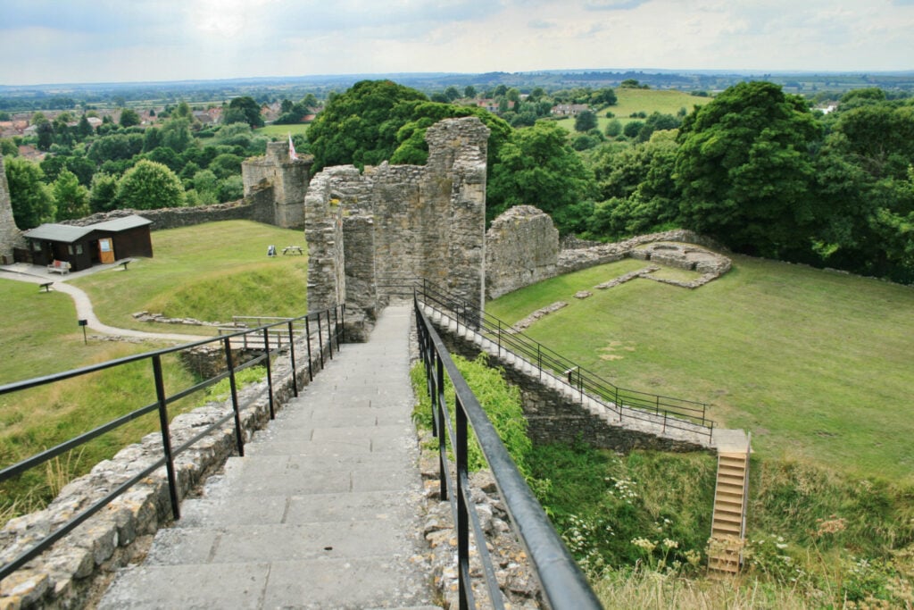
Pickering and Cawthorn Camps is a 15.8 kilometer out and back trail located near Pickering, North Yorkshire, England and is rated as moderate. The trail is primarily used for hiking, walking, and running.

Table of Contents
The Route
- what3words for start point: ///melts.unhappily.rich
- Start / Finish Point: The Ropery, Pickering YO18 8DY
- Distance: 10 Miles
GPX Route Map
Download file for GPSWalk Description
A walk from the market town of Pickering in Ryedale. The route heads north through the simple landscape of woodland belts, quiet lanes, arable fields and pastures to visit Cawthorn Roman Camps, with its earth remains of Roman fortifications and spectacular views across the moors.
The walk follows gentle but long gradients throughout, indeed it is generally one long steady climb on the way to the camps and then one steady descent on the way back. Some of the paths can get very muddy at times so good boots are a must. You will need to negotiate two stiles in each direction (one of which has a tight fence surround so dogs may need a lift over) plus a few single gates. The vast majority of the fields are arable, but you will be crossing two sheep pastures so take particular care with dogs. Entrance to the Roman Camps is free and dogs are welcome. Allow 5 hours.
There are public toilets in The Ropery car park (at the start of the walk). If you are looking for refreshments, you could stock up on supplies in Pickering and then enjoy a picnic on one of the benches in the Roman Camps and there are plenty of pubs and cafes centred around the Market Place in Pickering at the end of the walk. OS Map: Explorer OL27 North York Moors Eastern Area. This walk follows public footpaths and bridleways which cross private and public land. Please respect people’s privacy, keep dogs under control and remember the Countryside Code.


