Welcome to Yorkshire
News • September 28th, 2021
|Follow the Selby Canal towpath and travel from the town out into the surrounding villages and countryside.

The Route
- What3Words reference point: ///warthog.subplot.download
- Start Point: Selby Lock, YO8 8FD
- Finish Point: Tankard’s Bridge, YO8 8QF
- Distance: 5.5 Miles
GPX Route Map
Walk Description
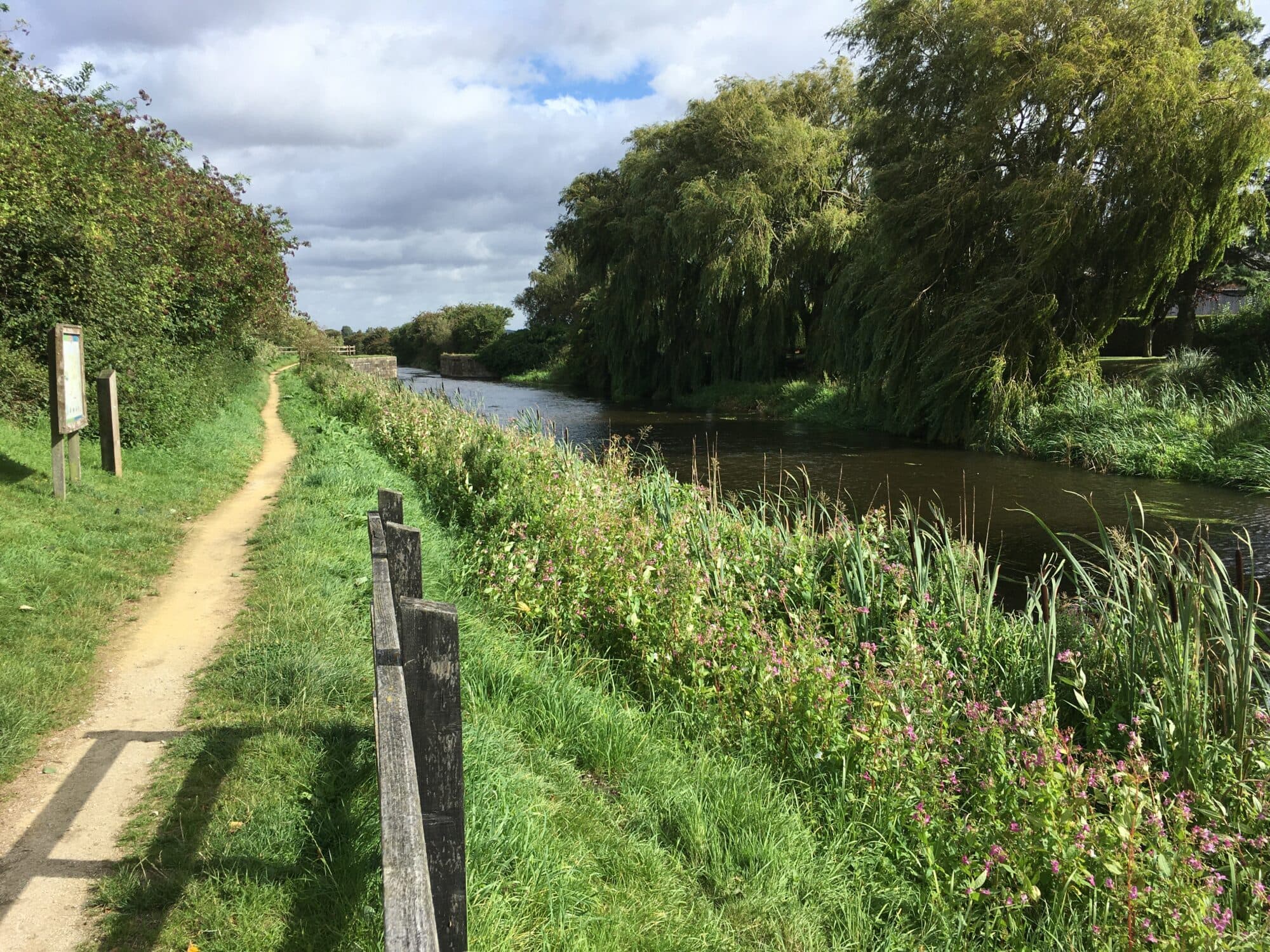
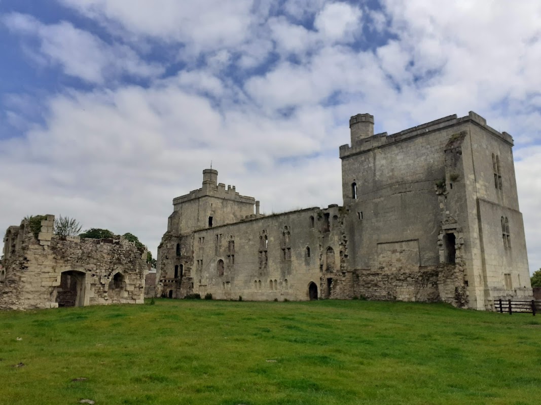
The Selby Canal, a historic waterway, gracefully connects the River Ouse at Selby to the River Aire in Chapel Haddlesey. Opened in 1778, this canal was a linchpin in local economic growth. Today, it's transformed into a scenic conduit linking Selby to its quaint neighboring villages, offering a serene escape into nature.
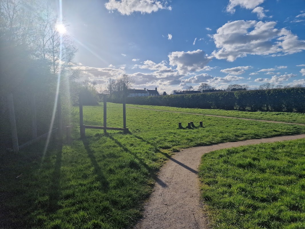
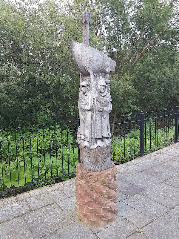
Embark on your journey from Selby Lock, conveniently situated less than half a mile from the bustling train and bus stations. The towpath here is remarkably flat and welcoming, inviting visitors of all abilities to explore its 5.5-mile stretch. As you meander along, be captivated by an array of engaging artwork that dots the pathway, telling stories of the canal's rich heritage. The air is alive with the chirps and rustles of abundant wildlife, creating a symphony that accompanies your walk.
Witness a vibrant parade of boats that glide gracefully along the canal, their colors reflecting in the calm waters. This path is also a proud part of the Trans Pennine Trail, frequented by enthusiastic walkers, cyclists, and nature lovers. Its proximity to the M62 makes it easily accessible, and you'll find numerous parking spots along the canal, inviting you to pause and immerse in the tranquil beauty of this historic waterway.
Yorkshire Team
The Yorkshire.com editorial team is made up of local writers, content creators, and tourism specialists who are passionate about showcasing the very best of God’s Own Country. With deep roots in Yorkshire’s communities, culture, food scene, landscapes, and visitor economy, the team works closely with local businesses, venues, and organisations to bring readers the latest news, events, travel inspiration, and insider guides from across the region. From hidden gems to headline festivals, Yorkshire.com is dedicated to celebrating everything that makes Yorkshire such a special place to live, work, and visit.
View all articles →
Comments
1 Contributions