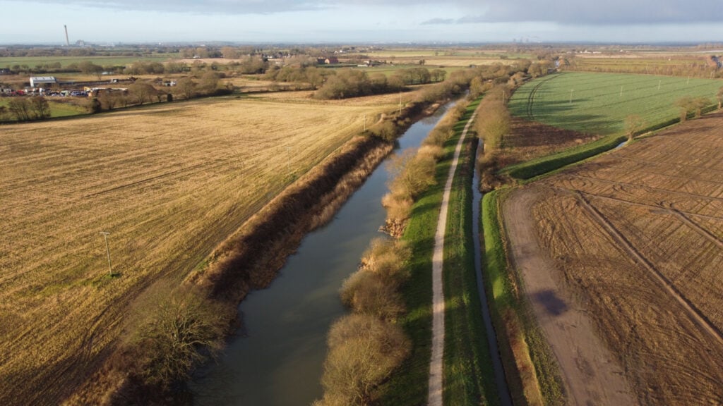
Discover Selby lock basin, David Mayne’s sculpture, moored canal boats and Brayton bridge. A 2.8 mile flat route with very little incline.

Table of Contents
The Route
- what3words for start point: ///starting.skirting.bunny
- Start Point: Lock Basin, Selby
- Finish Point: Brayton Bridge
- Distance: 2.8 Miles
GPX Route Map
Download file for GPSWalk Description

Discover Selby lock basin, David Mayne’s sculpture, moored canal boats and Brayton bridge. A 2.8 mile flat route with very little incline.
The Waterways Trail instructions:
1. Starting at the Lock Basin, follow the canal down to view David Mayne’s Sculpture and the Moored Canal Boats.
2. Follow the canal path down, parallel to Canal View, to reach Brayton Bridge.
Stop 1. Lock Basin. The 6-mile long Selby Canal finishes here, with the Lock Basin joining the canal to the River Ouse. When the canal was still in commercial use, barges would wait here before passing into the river. You may notice a channel running parallel to the river- this was created in the 1800s and is called the ‘Lazy Cut’. To save time cargo was moved from a barge to a ship via a crane, instead of using the lock.
Stop 2. David Mayne’s Sculpture. Take some time to feed the ducks and look at the sculpture, which was created by David Mayne in 1999. The arrowhead depicts the history of Selby’s Canal, including the growth of Selby’s industry due to the valuable trade links provided by the canal. Can you see three boats? These are a paddle steamer, a sloop and a keel boat. What do you think they were used for?
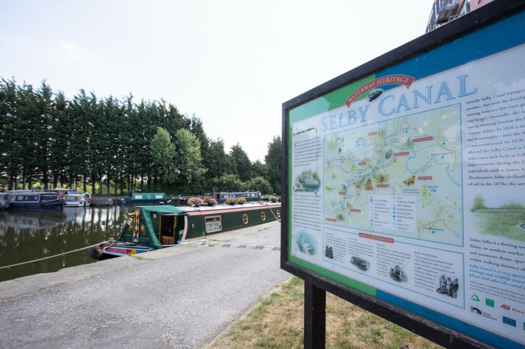
Stop 3. Moored Canal Boats. As you pass under Bawtry Road bridge have a look for brightly coloured canal boats. This is a popular spot for canal boats to moore, so take your time and pick a favourite!
Stop 4. Brayton Bridge. This grade II listed bridge is built from sandstone, which gives it its yellow colour! Pass under the bridge, have a seat and look at the modern sculptures emerging through the grass! Take a closer look to read the ripple-inspired messages that are inscribed.


