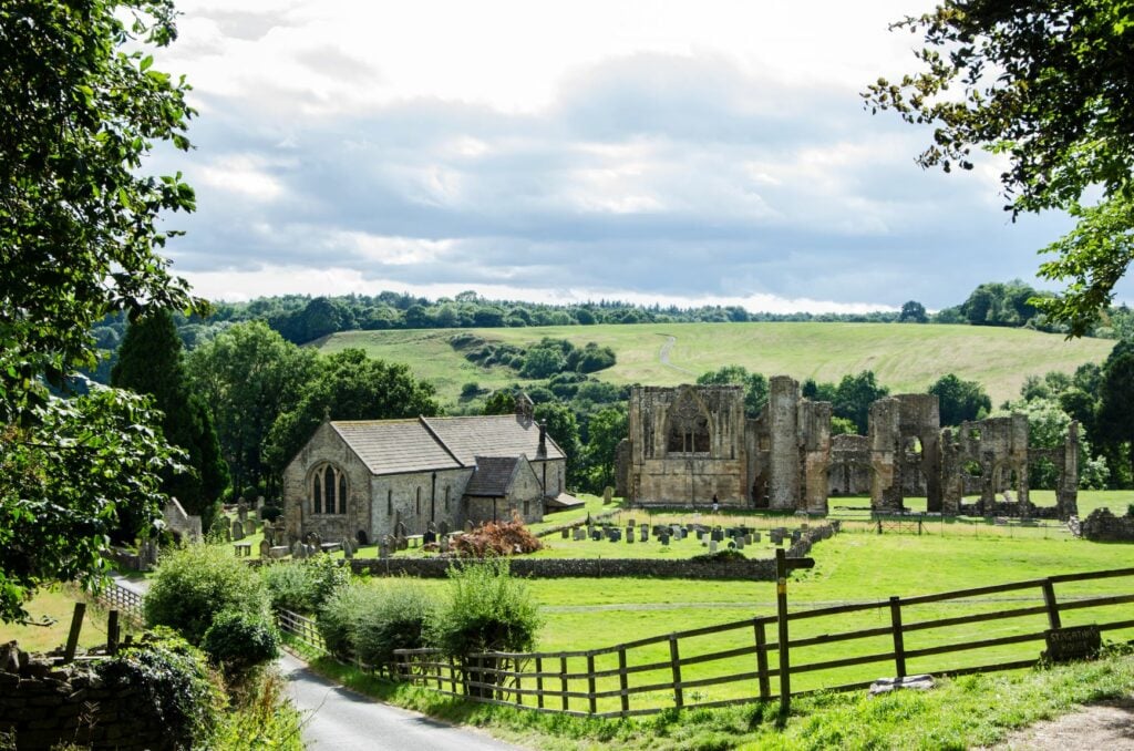
A favourite family picnic route. From The Station in Richmond, North Yorkshire, (refreshments available) follow the old rail-track to historic Easby Abbey. Return beside the rushing River Swale.

Table of Contents
The Route
- what3words for start point: ///dined.shipyards.data
- Start / Finish Point: The Station, Richmond DL10 4LD
- Distance: 2.5 Miles
GPX Route Map
Download file for GPSWalk Description
Richmond’s most popular ramble: fine views, a rushing river, ancient ruins, picnic sites, and an eerie folk-tale.
Park at The Station, Richmond’s old railway terminus, now a bustling visitor attraction. If the car park is full, The Station is only a few minutes’ walk from other car parks in town.
From The Station, follow the rail-track in a tunnel of trees. (Don’t worry – the last train left 52 years ago!) After ½ mile, a bridge croses the Swale, reputedly the fastest-flowing river in England.
Turn left to reach a gaggle of medieval buildings. St Agatha’s Church is a haven of tranquility on a warm day, with thirteenth century wall paintings. (Adam and Eve are delightful!) Over the road is the roofless Gatehouse of Easby Abbey, and behind the church is the Abbey, founded in 1152 and largely destroyed by Henry VIII in 1536. Entry to this English Heritage property is free.
[Wheelchair users and maybe pushchair users can either turn back here, or follow the tarmaced lane uphill past the Gatehouse to Easby hamlet, where a left-hand turn leads back towards Richmond. This is 500 yards longer than the main route and a bit hillier, but much smoother.]
The main route continues past the Abbey, through the yard of a private house into an open field. Keep dogs on leads for this section. After 200 yards a kissing gate leads into woodland; take the higher path, or go down a flight of steps to walk beside the river. Either way, follow your nose for half a mile and you’ll see The Station through the trees on your left, over the river. Turn left on a tarmac lane to Station Road.


