Welcome to Yorkshire
News • September 14th, 2021
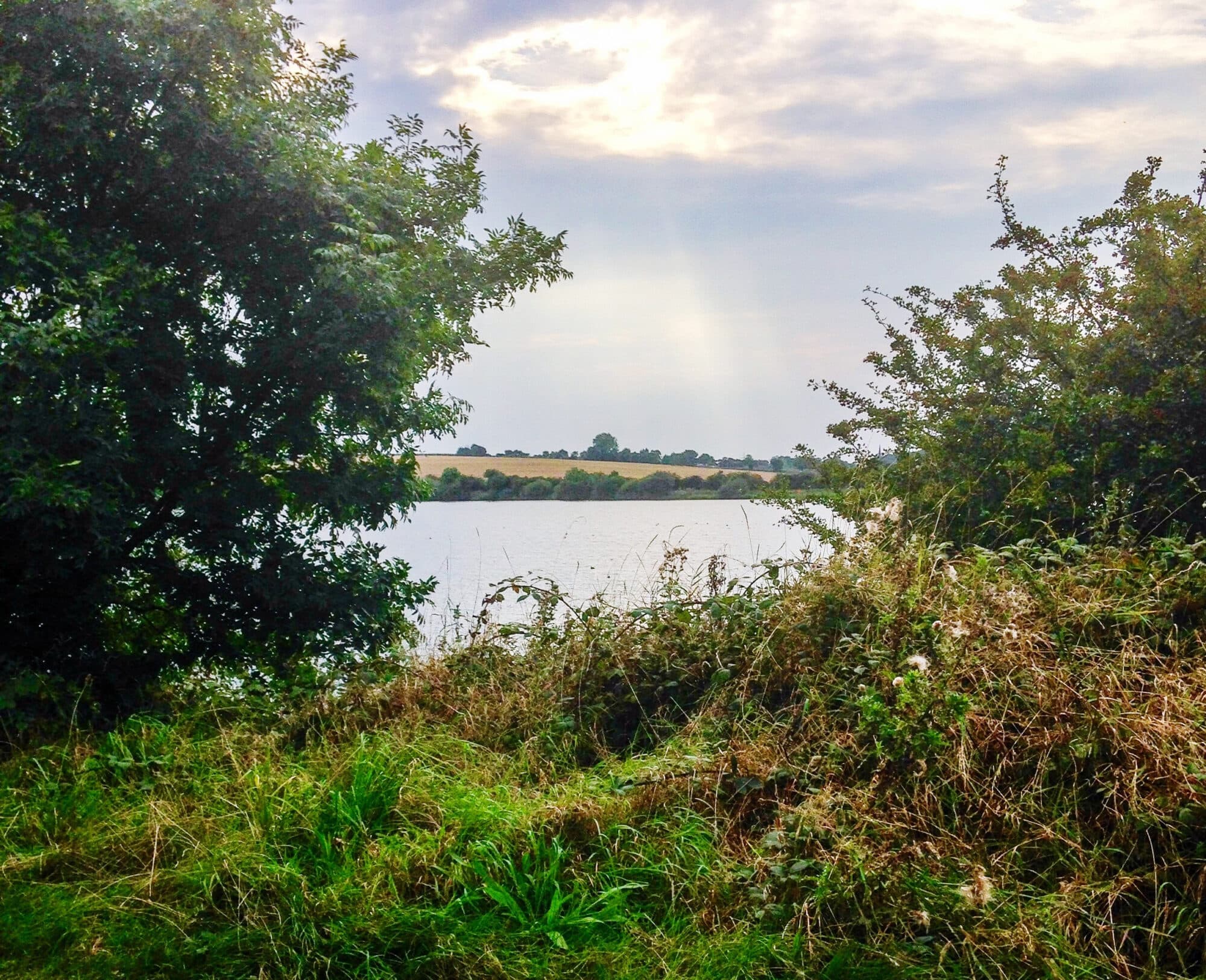
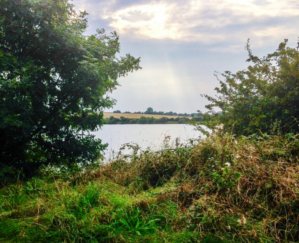
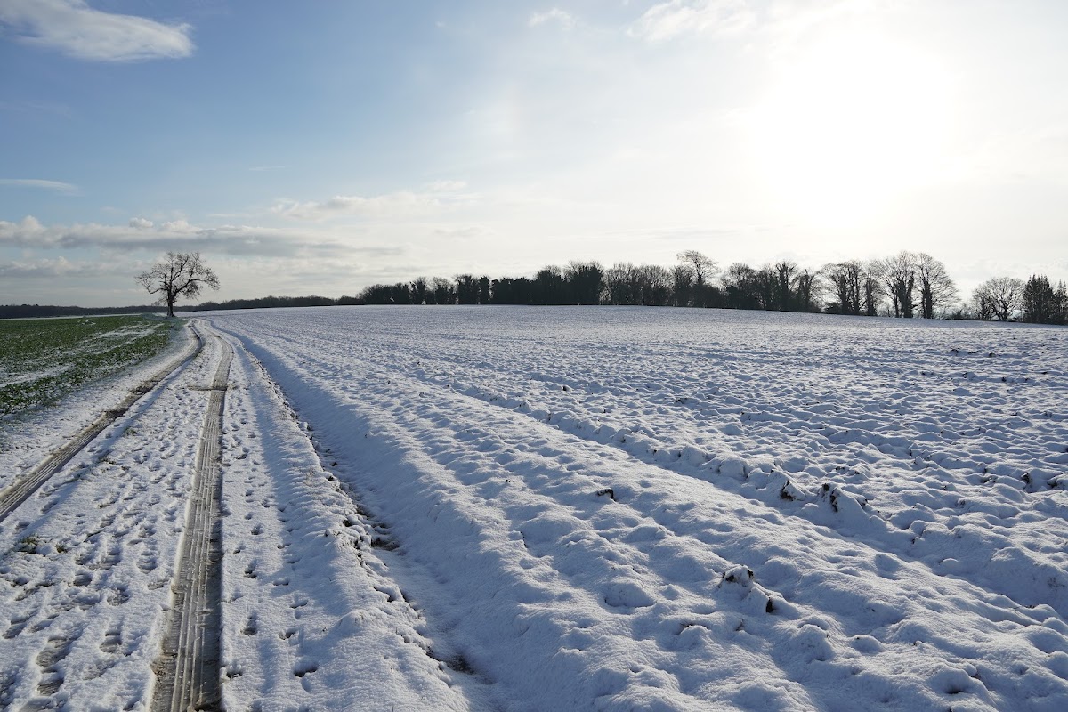
|An easy, accessible walk for all - perfect for blowing the cobwebs off on an afternoon, just near Rotherham.
The Route
- what3words for start point: ///decking.televise.flat
- Start Point: Thrybergh Country Park car park, Doncaster Rd, Thrybergh, Rotherham S65 4NU
- Finish Point: Thrybergh Country Park car park, Doncaster Rd, Thrybergh, Rotherham S65 4NU
- Distance: 2 Miles
GPX Route Map
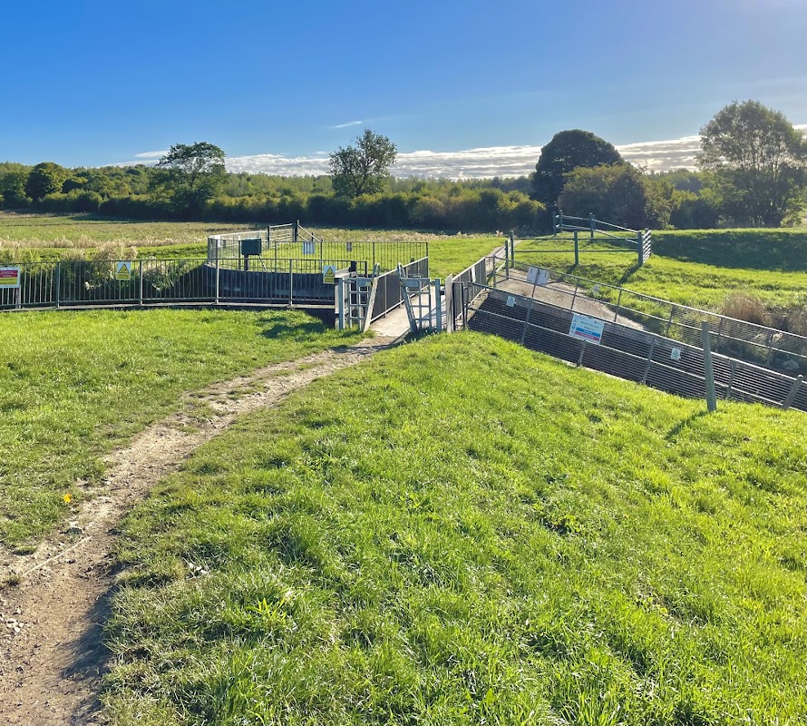
Walk Description
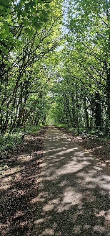
From the car park, walk towards the lake. Turn right to have the toilet block on your right hand side, and follow the track as it turns to the left. Follow it around and then it turns to the right in a hairpin shape. Follow the track straight on, through a canopy of trees providing some shade. Once through this, the track meets Thrybergh Road, on the other side of the boundary.
Continue around to the left on another hairpin corner, to walk on the other side of the lake. On this side, the track enters trees as it turns sharply to the right, only to emerge from them just before it turns sharply to the left. Continue to follow the tracks, over the two footbridges, and along the embankment, until you reach the cafe and the car parks.
Yorkshire Team
The Yorkshire.com editorial team is made up of local writers, content creators, and tourism specialists who are passionate about showcasing the very best of God’s Own Country. With deep roots in Yorkshire’s communities, culture, food scene, landscapes, and visitor economy, the team works closely with local businesses, venues, and organisations to bring readers the latest news, events, travel inspiration, and insider guides from across the region. From hidden gems to headline festivals, Yorkshire.com is dedicated to celebrating everything that makes Yorkshire such a special place to live, work, and visit.
View all articles →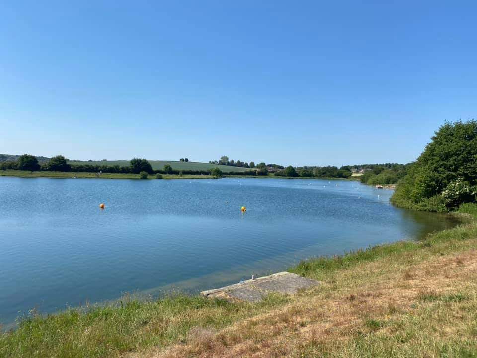

Comments
0 Contributions
No comments yet. Be the first to start the conversation!