
Welcome to Yorkshire
Inspiration • December 28th, 2020
|One of the most stunning walks in Yorkshire, Spurn Head at the mouth of the Humber estuary in East Yorkshire is a must do for anyone wanting to experience coastal walking.
Walk Route
- what3words for start point: ///unguarded.cyclones.juggles
- Distance: 6 Miles
- Start Location Name: Spurn Point
- Finish Location Name: Spurn Point
OS Route Map & GPX Download
The Ordnance Survey map below shows the full walk route, in pink. You can use this (try the full screen mode) on your smartphone to guide you where to go.
Download the GPX file for your GPS navigation device using the pink link above, and you’ll be able to use this walk on your own devices.
Walk Description
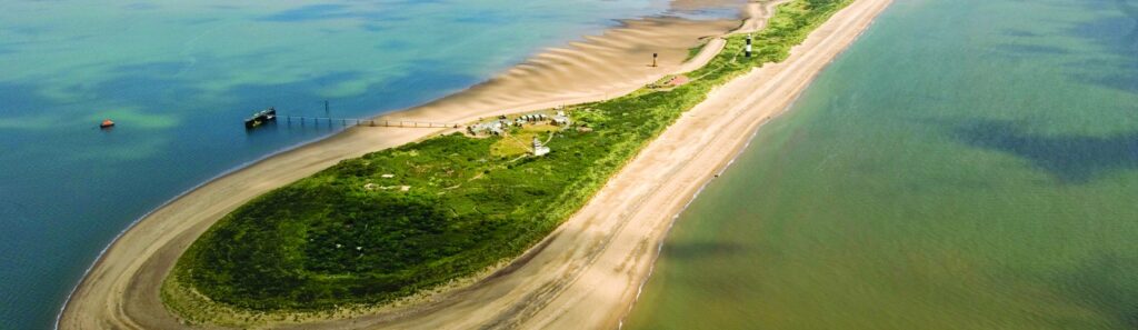
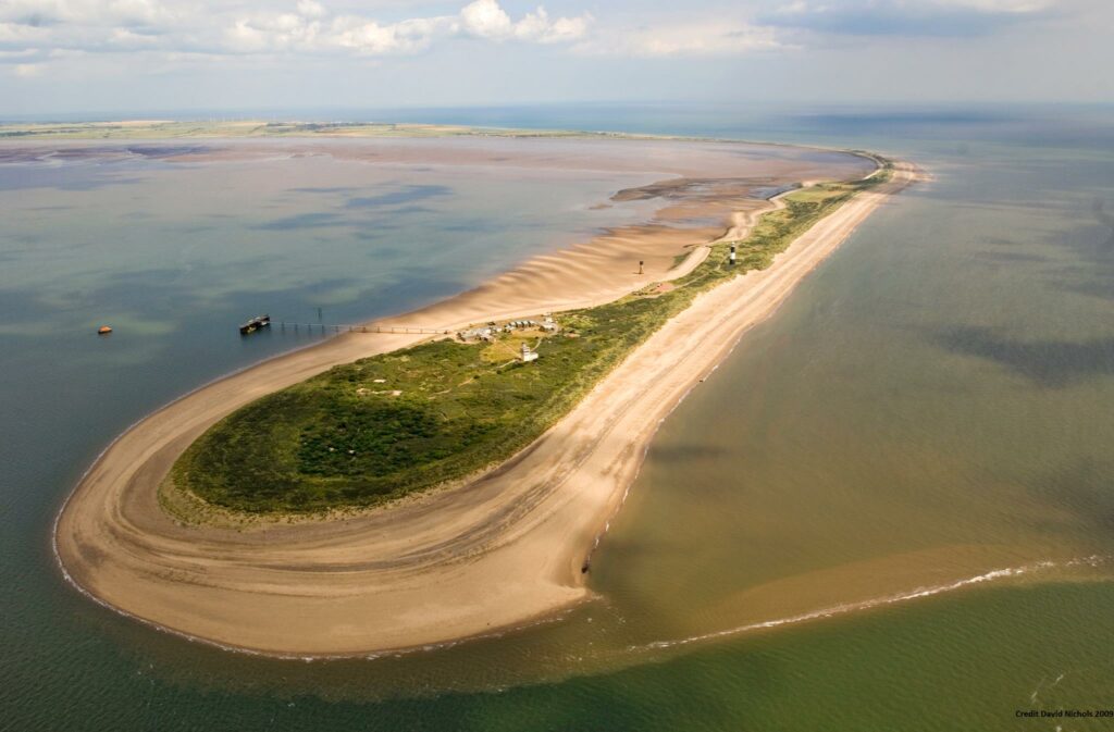
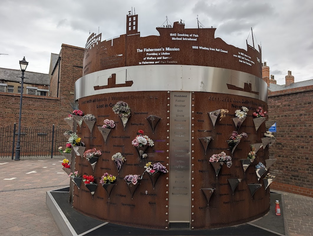
Often described as Yorkshire's own Lands End this spit of land has been an important part of the maritime history of the region since the time of the Vikings. The land is 3 miles long, hugged by both the North sea and the Humber estuary whilst being in places only 50m wide.
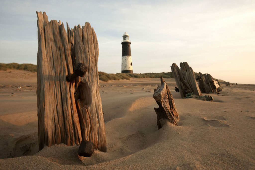
This means you can see both inland and out to sea in the same view which is pretty unique in the region. Highlights include the Lighthouse which frames spectacular views of the scenery as well as the wildlife in the reserve as this is real hotspot for bird watchers from all over the country.
The reserve is run by Yorkshire Wildlife Trust and they provide facilities and the activity centre as well as ample parking. This is a must see in the region.

Yorkshire Team
The Yorkshire.com editorial team is made up of local writers, content creators, and tourism specialists who are passionate about showcasing the very best of God’s Own Country. With deep roots in Yorkshire’s communities, culture, food scene, landscapes, and visitor economy, the team works closely with local businesses, venues, and organisations to bring readers the latest news, events, travel inspiration, and insider guides from across the region. From hidden gems to headline festivals, Yorkshire.com is dedicated to celebrating everything that makes Yorkshire such a special place to live, work, and visit.
View all articles →


Comments
2 Contributions