An interesting circular walk, partly on The Trans-Pennine Trail and mainly featuring the tranquil Selby Canal but also Burn Airfield and a Hydro Electric Station at Haddlesey Weir.
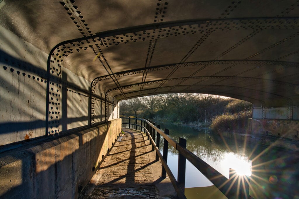
Table of Contents
The Route
- what3words for start point: ///prude.wonderfully.redefined
- Start / Finish Point: Haddlesey Church Community Centre YO8 8QF
- Distance: 10.2 Miles
GPX Route Map
Download file for GPSWalk Description
1. Turn left out of the car park, round the right hand bend and use the elevated pavement on the right hand side.
2. When the pavement ends, turn right up the Cul-De-Sac and follow the lane in front of the houses and out on to the river bank.
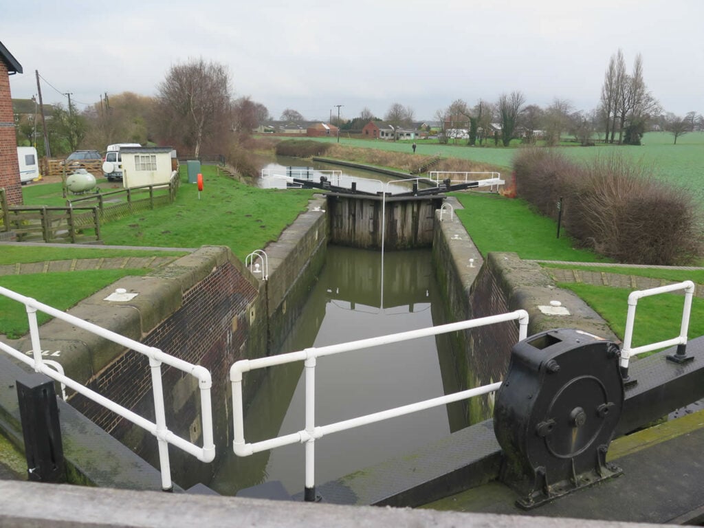
3. Proceed on the river bank to a stile. Go over the stile and turn right. The footpath runs alongside Haddlesey Lock, that you may want to observe. At the end of the footpath, turn left, go over the bridge and then immediately turn right onto the canal towpath.
4. Follow the towpath all the way to Brayton Bridge. At this point turn left to the car park and left again over the bridge. Once over the bridge turn down the first right (Henwick Hall Lane). Follow the Trans Pennine Trail signs.
5. Follow Henwick Hall Lane all the way to the end, where it joins Common Lane, and turn right.
6. After a short distance, turn left on a public footpath, marked Trans Pennine Trail. It will lead to the edge of Burn Airfield.
7. Follow the path in a straight line until it veers to the right and then left. Keep following the Trans Pennine Trail signs.
8. Eventually, you will emerge onto Burn Lane. Turn left and follow the lane round a right hand bend and a left hand bend.
9. Shortly after the bend, look out for a gate and stile on the right. Go over the stile and on to the public footpath across the field. Walk in a straight line from the gate to the hedges at the far side of the field and you will see a stile.
10. Go over the stile and follow the footpath on the left side of a dyke.
11. The footpath goes through a tunnel, underneath the railway line.
12. Once again follow the footpath, beside the dyke, all the way to the road.
13. Turn right and walk on the road side TAKE CARE. The road takes a loop at East Haddlesey and then comes to a fairly sharp right bend. On the bend, look for a track on the left.
14. Walk down the track and at the end, go over a stile onto the flood bank. Turn Right.
15. Just past the weir, you will go over two stiles and when the bank path ends, turn right down a narrow footpath that will take you on to the main street of Chapel Haddlesey, where you need to turn left.
16. Walk along to the cross roads and walk across the busy A19 to the right hand pavement of the road opposite.
17. After a short distance, you will see the entrance to a park on the right. Go in to the park and follow the path to the exit on the bend of Millfield Road.
18. Go straight on Millfield Road and back the car park where you started.
