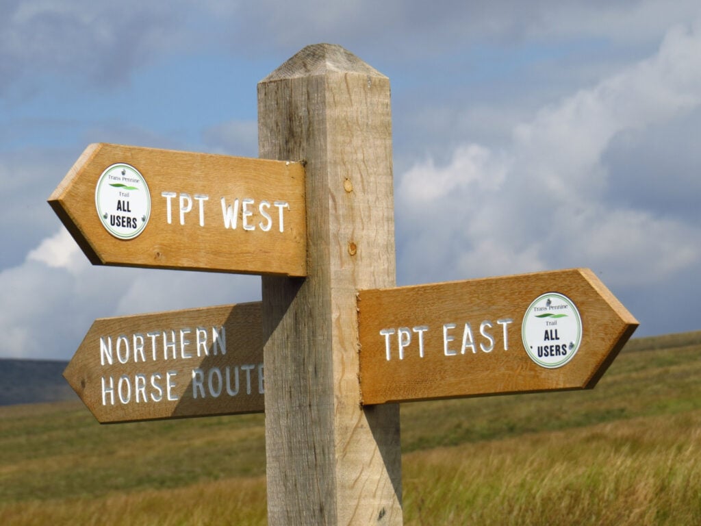
The Trans Pennine Trail is a long-distance path running from Southport on the West coast to Hornsea on the East Coast, across Northern England entirely on surfaced paths and using only gentle gradients.

Table of Contents
The Route
- Start Point: Southport
- Finish Point: Hornsea
- Distance: 208 Miles
GPX Route Map
Download file for GPSWalk Description
The main west–east trail starts at Southport, then heads south through the suburbs of Liverpool, through Widnes, Warrington, Manchester, Stockport and Hadfield. It then crosses the Peak District, heading up the Longdendale valley via the Longdendale Trail to Woodhead, then down through Dunford Bridge and Penistone, Doncaster, Selby, Hessle, Hull and Hornsea.
This route covers 207 miles (333.1 km). Between Southport and Selby it is National Cycle Network, Route 62 and from Selby to Hornsea, NCN Route 65.


