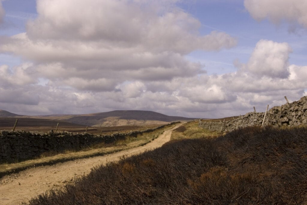
Middlesmoor, Scar House Reservoir, Thrope Edge & Upper Nidderdale.

Table of Contents
The Route
- Start Point: Middlesmoor, Harrogate HG3 5ST
- Finish Point: Middlesmoor, Harrogate HG3 5ST
- Distance: 9.8 Miles
GPX Route Map
Download file for GPSWalk Description
The windswept village of Middlesmoor has a commanding position high above the valley, situated on a great promontory of moorland between Nidderdale and the valley of How Stean Beck. The village is a delightful jumble of old cottages and alleyways, which makes it an interesting place to explore with St Chad’s Church hidden away along a cobbled lane. The view from the churchyard is superb with the whole of Nidderdale laid out and Gouthwaite Reservoir shimmering in the distance.
This site has been a place of worship since Saxon times. The present church dates back to the 15th Century, although it was extensively restored in the 1860s. Inside, there is an Anglo-Saxon font as well as a very finely carved Saxon cross thought to have been erected in the churchyard by St Chad himself as a preaching cross to convert the local pagans. St Chad was a disciple of Aidan, one of the famed Lindisfarne monks, and he later became Abbot of Lastingham in Yorkshire and finally Bishop of Mercia during the 7th Century.
Lofthouse is a delightful village situated at the junction with the steep moorland road that leads up across Pott Moor over to Masham in lower Wensleydale. In the 12th Century, much of Upper Nidderdale was owned by Roger de Mowbray, who also founded Byland Abbey near Helmsley and subsequently granted grazing lands to the monks on the western side of the valley, including Middlesmoor. He later sold land on the east side of the valley to the monks of Fountains Abbey, who established a monastic farm at Lofthouse around which the village grew. The oldest part of the village is grouped around the foot of the steep moorland road, a compact cluster of grey-stone cottages and farms with a small ‘square’ of houses overlooking the ornate Memorial Water Fountain. This water fountain was built in 1920 to commemorate the local men who gave their lives during the Great War and features some rather amusing inscriptions.
Beyond Lofthouse the River Nidd flows through the dramatic landscape of Upper Nidderdale. The riverbed along this stretch of the valley is composed of limestone rock as opposed to the millstone grit that is more commonly found throughout Nidderdale. Over many thousands of years, water has percolated down through the many fissures and faults in the limestone bedrock and has gradually dissolved the rock to create an underground labyrinth of caves and passages. Indeed, the river sinks into a pothole at the foot of Beggarmoat Scar some two miles north of Lofthouse near Manchester Hole, a cave entrance that leads down into the main underground river channel which soon links up with the complex and dangerous cave system of Goyden Pot.
For over two miles the Nidd follows a subterranean route through caves and passageways before reappearing just to the south of Lofthouse at Nidd Heads. Only after heavy rain does the river flow over-ground, indeed the popular caving routes of Manchester Hole and Goyden Pot are often subject to sudden and severe flooding when the river spills through the normally dry cave entrance of Manchester Hole; these caves and potholes must not be explored.


