
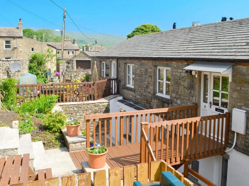
Welcome to Yorkshire
Inspiration • December 9th, 2021
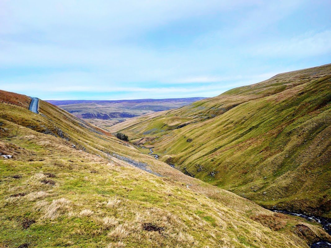
|Roman Roads, glacial lakes, Viking settlements and superlative views - this walk through Raydale, Wensleydale and up onto the flanks of Wether Fell has got it all.
Route
What3words for start point: ///broadcast.legwork.erase
- Distance: 9 miles
- Start location: Bainbridge, Wensleydale, Yorkshire Dales
- Finish Location: Bainbridge, Wensleydale, Yorkshire Dales
OS Map & GPX Download
The route is mapped below on our OS map. Download it using the link below for your navigation or mapping apps.
Walk Description
What3words for start point: ///broadcast.legwork.erase
In about AD80, under the command of Agricola, legions of Roman soldiers pushed northwards from their military stronghold of Eboracum (York) to subdue the unruly Brigantes tribes. A network of roads and forts were built during this period under the supervision of Agricola, Rome’s most successful and longest serving governor in Britain.
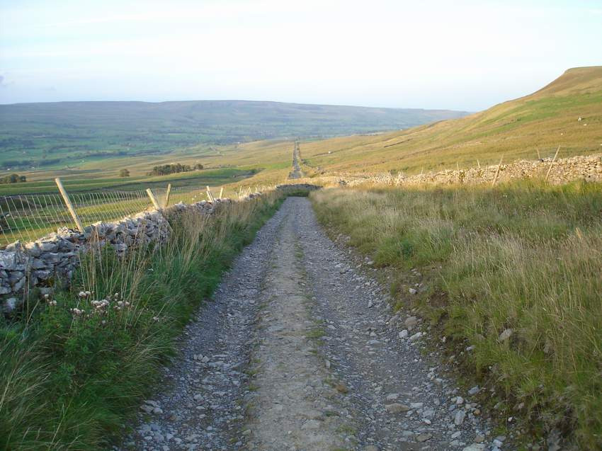
A fort, known as Virosidum, was built on Brough Hill which rises just to the east of Bainbridge. This fort housed up to 500 soldiers who kept a watchful eye on the local Brigantes for nearly 300 years, although it was attacked and rebuilt on several occasions. A number of Roman roads were built across the fells to this fort; two of which can still be seen. The walled track of Cam High Road once led across the hills to Ribchester via Ingleton and still cuts an impressive straight course across the flanks of Wether Fell.
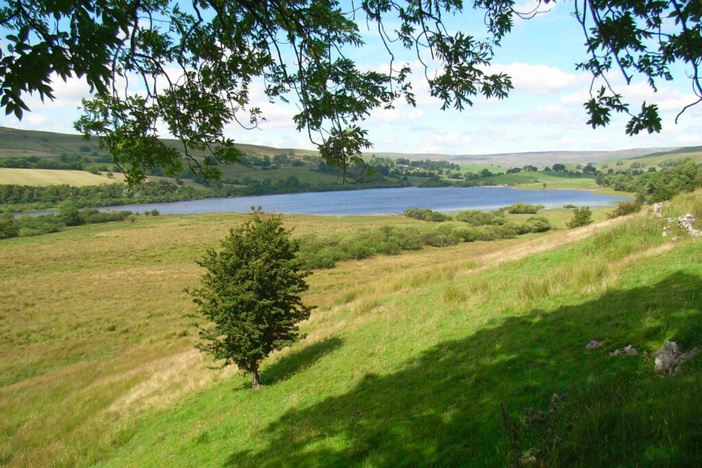
From Bainbridge, our route follows the River Bain, England’s shortest river, to reach the glacial lake of Semerwater, which is steeped in legend.
Many years ago, the Devil was stood on Crag Hill, which rises to the west of Semerwater. The Devil threw a large boulder in retaliation at a giant who was stood on the flat-top summit of Addlebrough across the valley. The Devil’s Stone can still be seen on the western upper flanks of Addlebrough, whilst the giant’s stone fell short and landed on the shores of Semerwater. This stone, known as the Carlow Stone, is actually a glacial erratic – a large boulder brought down by the ice.
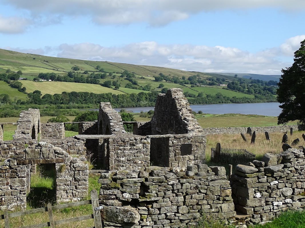
Follow the path along the shore of Semerwater to reach Stalling Busk, and then across the marshy valley floor (beware after heavy rain as this track may be impassable) to the hamlet of Marsett, both of which date back to Viking settlers over 1,000 years ago; ‘sett’ is derived from the Old Norse for ‘summer pastures’. A path then leads steeply up onto Wether Fell to join the arrow-straight Roman Road, which leads back down to Bainbridge.
Yorkshire Team
The Yorkshire.com editorial team is made up of local writers, content creators, and tourism specialists who are passionate about showcasing the very best of God’s Own Country. With deep roots in Yorkshire’s communities, culture, food scene, landscapes, and visitor economy, the team works closely with local businesses, venues, and organisations to bring readers the latest news, events, travel inspiration, and insider guides from across the region. From hidden gems to headline festivals, Yorkshire.com is dedicated to celebrating everything that makes Yorkshire such a special place to live, work, and visit.
View all articles →
Comments
1 Contributions