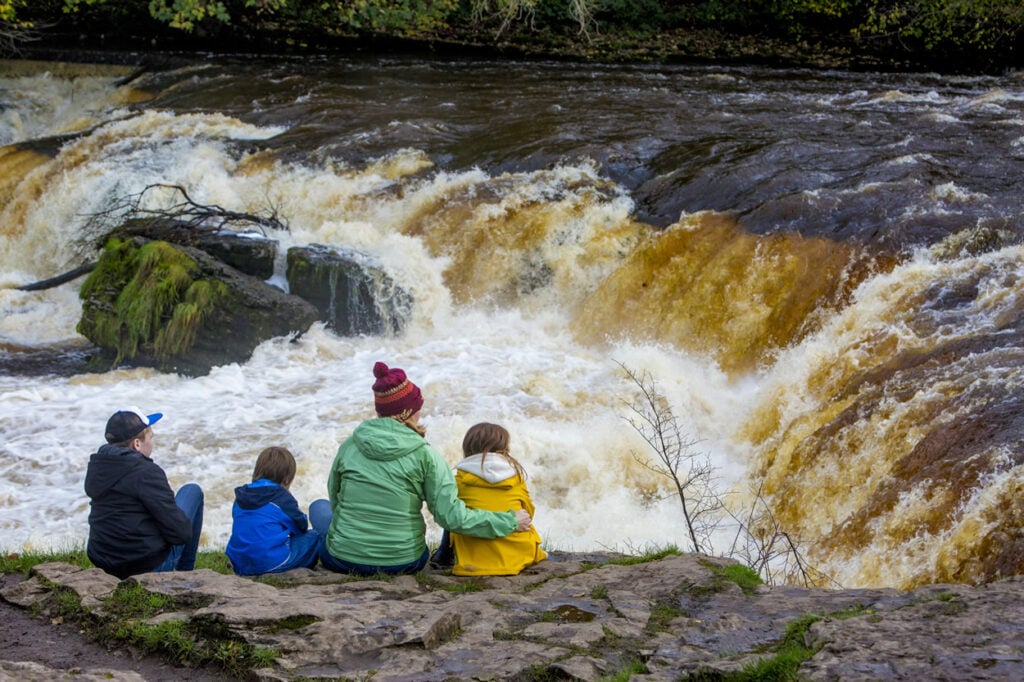
A scenic walk in the woods alongside the popular Aysgarth Falls.
The Route
- what3words for start point: ///pigs.tripled.newsprint
- Start / Finish Point: Aysgarth Falls National Park Centre, Church Bank, Centre, Aysgarth, Leyburn DL8 3TH
- Distance: 1 Miles
GPX Route Map
Walk Description
The first 500m of this 1.5km footpath runs through Freeholders’ Wood and has great views of the Middle Falls. The surface here is compact aggregate and the width of the footpath is at least 100cm. All gates are fully accessible and there are benches along the route.
From here, a flight of seventy steps provide access to the Lower Falls. Alternatively, the footpath continues for a further 1km along an unsurfaced grass route. A further 600m route can be followed from the start along an unsurfaced track through the woodland.