Welcome to Yorkshire
Inspiration • September 23rd, 2021
|Cataractonium – or, to use its modern name, Catterick – in North Yorkshire was once a Roman Fort and boasts one of England’s oldest roads. It was also recorded in the 11th-century Domesday Book. During National Highways’ A1 Leeming to Barton improvement scheme, archaeologists uncovered a plethora of findings, inspiring these walks that take you back through the history of the local area.
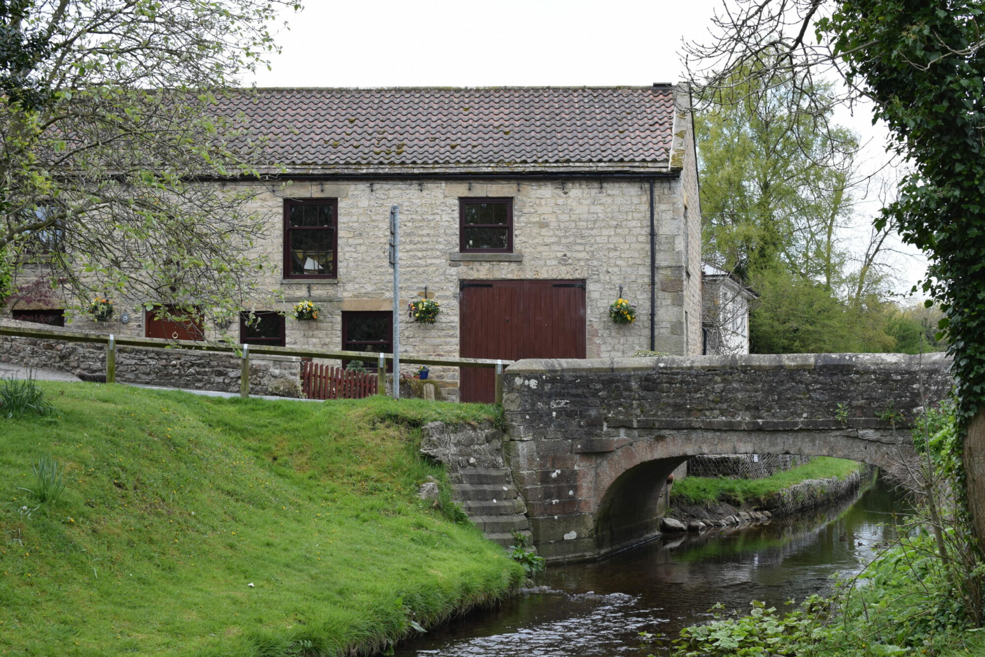
Nearby Brompton-on-Swale is also historic, originally a medieval village comprised of just a mill and 16 houses. In the early 19th century, there also a brewery, conveniently situated next to the pub.
We have two trail options which highlight the hidden histories of Cataractonium. Both walks are fairly short and easy on the legs. Children will love spotting the various historical sites along the way.
1. Brompton-on-Swale and Cataractonium Loop
2.6 miles
Start at the post office in the middle of Brompton-on-Swale, which was originally a medieval village made up of only 16 households and a mill. As you approach the first junction, look out for a pub – the building next to this was used as a brewery from the early 19th century.
Head down Bridge Road, you will see a cemetery, which includes a war memorial paying tribute to not only WWI and WWII servicemen, but also two local civilians who were tragically killed in the 1944 train explosion at Catterick Bridge Station.
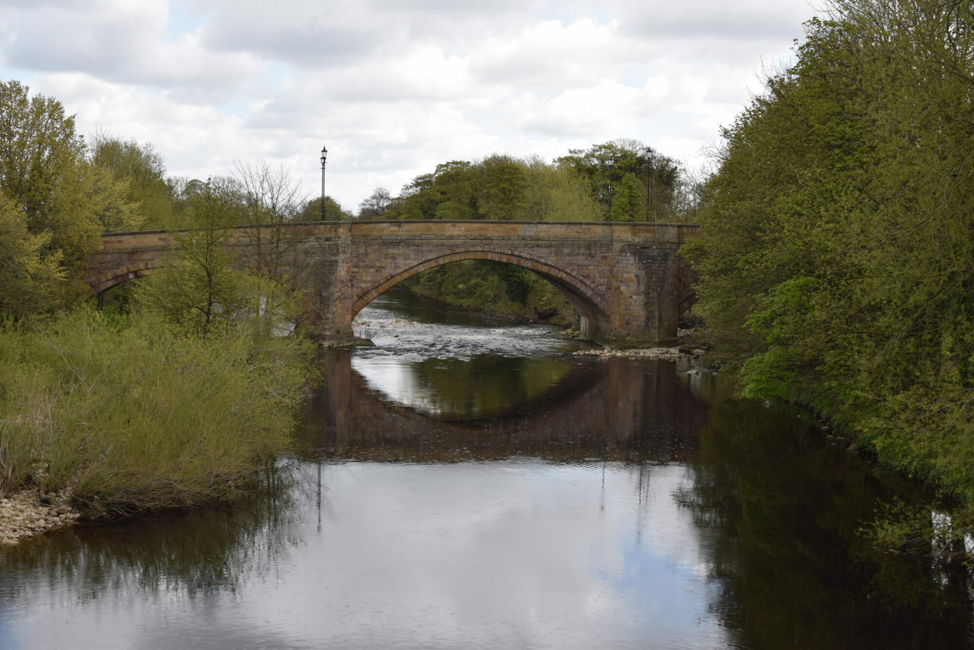
Cross under the A1(M) and find yourself on Catterick Bypass - the first post-war bypass to be built in North Yorkshire. Keep an eye out for two bridges: it was only during the construction of these that the extent of the Roman town of Cataractonium was identified. Once you’ve passed the bridges, you will see Dere Street, one of Britain’s oldest roads, which initially ran from the Roman town of Eboracum in York to Hadrian’s Wall.
Further along the route, you will see part of Cataractonium with your own eyes.
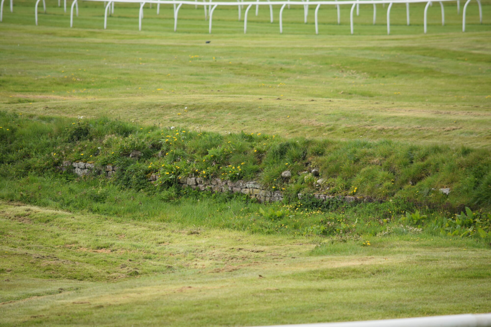
Cross the bridge and follow Leeming Lane, towards the racecourse where you can soak up the history of horse racing during the 17th Century. From here you can choose to walk towards Catterick Village or continue towards Fort Bridge – where the earliest recorded pistachio nut was found in the UK.
As you follow the path crossing the river, you can either take the slope or the steps back down to the field towards the soldiers’ artwork. Go under the bridge and follow the track along the riverside. If you look to the right, you will see the where the excavation of northern suburb of Cataractonium took place.
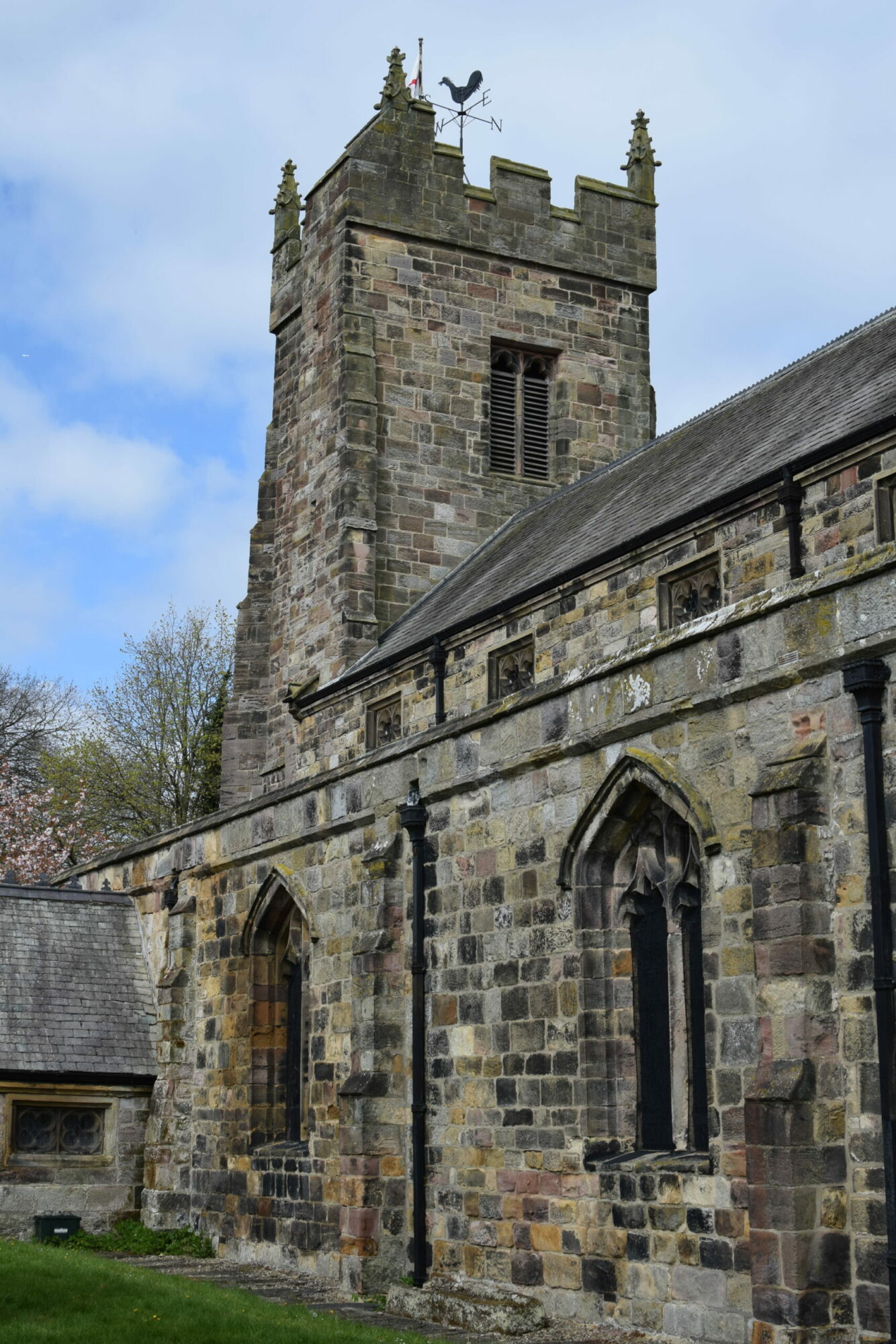
Continue along the path where you’ll see Thornborough Farm – built on the location of the Roman forts. At the T-junction, you will turn right and follow the track that heads away from the river. Just before the polytunnels and greenhouses, you will turn left and follow the track back towards the river. Once you reach the river, you will turn right and continue through the woodland. Here you’ll find yourself at The Church of St Paul, which was built in 1838.
Finish your journey along Richmond Road where you’ll arrive back at your starting point.
2. Catterick Village Loops
3 miles
Begin at Low Green in Catterick Village which was originally recorded in the Domesday Book of 1086 as having 11 households and a church. Continue your walk towards the village green, which is home to a war memorial commemorating individuals from the parish who lost their lives in WWI and WWII.
Walk to Tunstall Road where you will find The Oak Tree pub, originally a corn mill in the 15th century. You will reach a junction with a left-hand turn – this is the line of Dere Street, which originally ran from the Roman town or Eboracum (modern day York) to Hadrian’s Wall. To your left is the settlement at Bainesse – a roadside settlement which was made up of a mixture of agriculture and small-scale crafts including blacksmithing and pottery production. The main discovery on this site was a Roman cemetery where a total of 232 inhumation burials and 17 cremations were identified.
You will then retrace your steps back along Tunstall Road until you pass the Oak Tree again. From here, turn left and follow Low Green. If you turn right along High Green you will find war graves of many British RAF soldiers. Next, continue along High Green until you reach the Church of St Anne - which was once the historic core of the village throughout the medieval period.
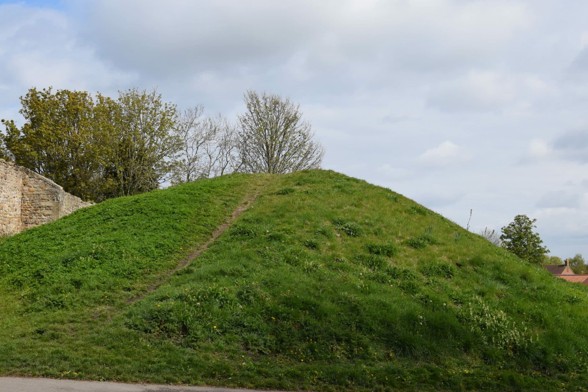
When you have finished at the church, cross High Green and look at the mound of the motte and bailey castle, before taking the footpath on the left-hand side, adjacent to the house, and following it round the steps. Continue down the steps to the housing estate, then take a right and walk until you reach the main road through to the village centre.
You can either take a left to join the Brompton-On-Swale and Cataractonium Loop or continue along the Catterick Village Loop where you will see many surviving 17th-century buildings.
Turn right along Low Green and continue to reach your starting point.
Yorkshire Team
The Yorkshire.com editorial team is made up of local writers, content creators, and tourism specialists who are passionate about showcasing the very best of God’s Own Country. With deep roots in Yorkshire’s communities, culture, food scene, landscapes, and visitor economy, the team works closely with local businesses, venues, and organisations to bring readers the latest news, events, travel inspiration, and insider guides from across the region. From hidden gems to headline festivals, Yorkshire.com is dedicated to celebrating everything that makes Yorkshire such a special place to live, work, and visit.
View all articles →Tags


Comments
0 Contributions
No comments yet. Be the first to start the conversation!