A walk on quiet roads and footpaths passing the Old Moor and Broomhill nature reserves and around Manvers Lake.

Table of Contents
The Route
- what3words for start point: ///obey.lightbulb.introduce
- Start / Finish Point: Broomhill Park Car Park, Highgate, S73 0YG (53.51751, -1.368542)
- Distance: 5.4 Miles
GPX Route Map
Download file for GPSWalk Description
Follow the tarmac path. Leaving the park, continue on a lane crossing Billing Dyke (Which feeds into the Dearne) and then turn left after crossing the River Dearne itself.
Follow the path with the Ings Dike to the left. On the right is the River Dearne, and beyond it the RSPB Old Moor Nature Reserve.
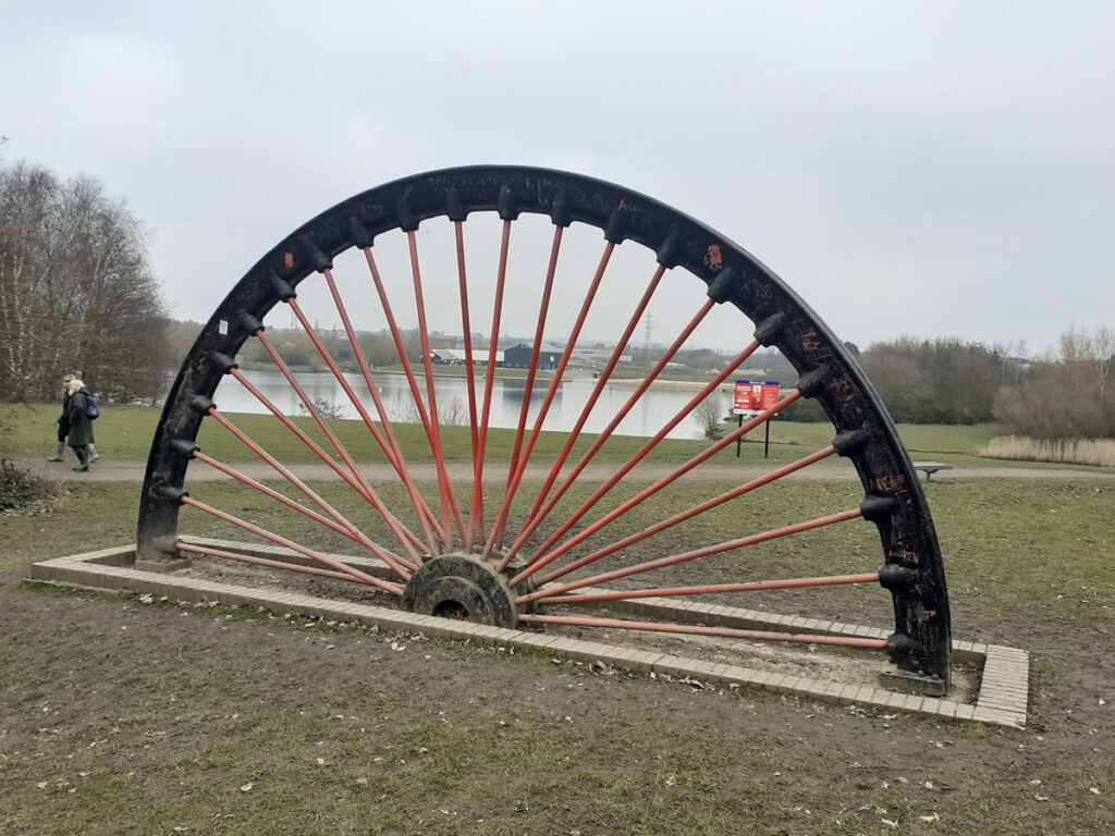
Cross the Trans-Pennine trail and walk around Manvers lake. Built on the site of the former Wath-upon-Dearne colliery The Manvers waterfront includes the lake used for swimming & boating, the Boathouse café, and alongside, the 9-hole Waterfront Golf course. The lake itself is home to a myriad of ducks, geese, and waterfowl.
Continue past the lake and re-join the Trans-Pennine Trail travelling West. Turn right on to Everill Gate Lane.
At the top of this lane on your right will be Broomhill Flash Nature Reserve – look out for the flocks of geese overhead.
At the end of the lane is the Old Moor Tavern Pub, and across the road is the entrance to Broomhill Park which we walk through back to the start.
