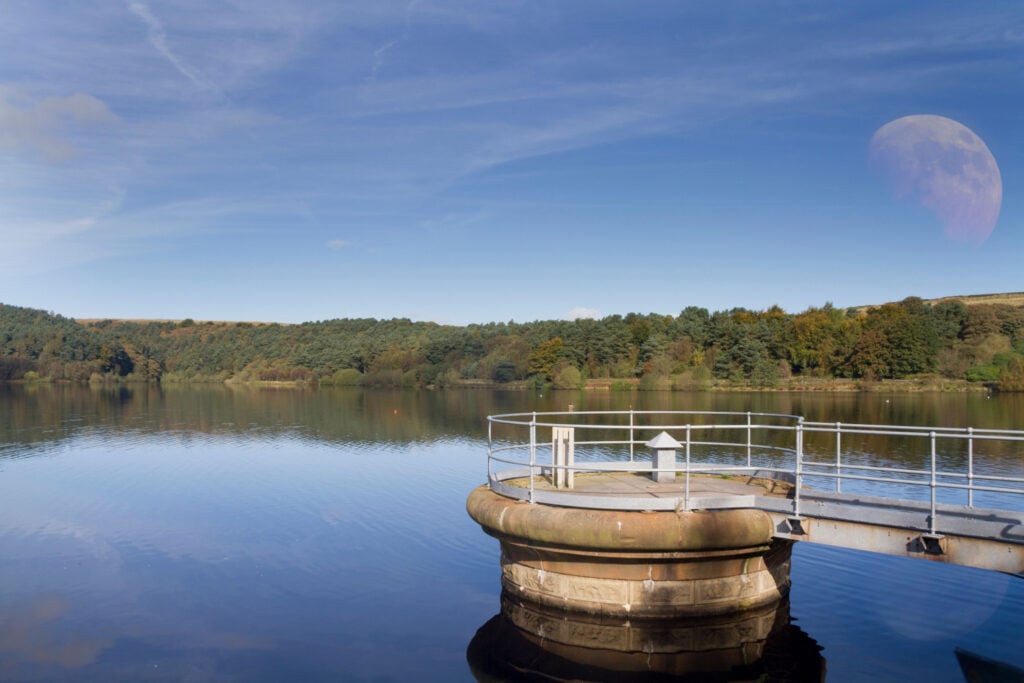
A feast of different landscapes all squeezed into a short walk around the reservoir and the surrounding moorland, just outside Halifax.

Table of Contents
The Route
- what3words for start point: ///proclaims.goat.relatives
- Start Point: Pay & Display car park off A629, HX2 8XZ
- Finish Point: Car park off A629, HX2 8XZ
- Distance: 4 Miles
GPX Route Map
Download file for GPSWalk Description
From the car park, walk towards the gates at the far end. Take the left hand pedestrian gate and follow the track through the woods to meet another track at the water’s edge. Ignore the bridge on your left, and continue straight on the track. For a short while, the track becomes a path before joining another surfaced track.
Follow this track, keeping the stream on your right. Cross a stile and ignore the two bridges on your right, continuing straight ahead. The path starts to climb steeply uphill for a very short while before reaching a long bridge.
Just after the long bridge, climb the stone steps to cross a shorter bridge. Just afterwards, the path bears left towards a stile over a wire fence. Cross the stile and follow the track along the edge of the moorland wind farm, keeping the turbines to your right.
Eventually, the path takes you to a bridge over Skirden Clough. Cross the bridge and follow a clear path forwards, where you will meet the wide surfaced vehicle track of Withens New Road. Here, turn left, and follow Withens New Road down to the dam wall. Walk along the dam wall and pass the Visitor Centre on the left. Follow the road in front of you back to car park.


