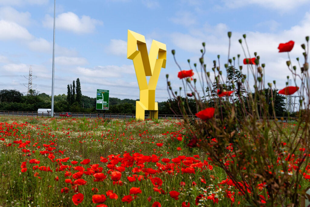
A fantastic wander around the mainly flat countryside of the suburb of Doncaster.

Table of Contents
The Route
- what3words for start point: ///brink.flickers.enchanted
- Start Point: Off-road parking on Lindholme Drive, Rossington, Doncaster DN11 0UN
- Finish Point: Off-road parking on Lindholme Drive, Rossington, Doncaster DN11 0UN
- Distance: 4 Miles
GPX Route Map
Download file for GPSWalk Description
From where you have parked considerately on Lindholme Drive, head back to Littleworth Lane, turn right, and then right again down the public footpath. Follow this to the end and as the access road veers right, veer left and then turn left along the boundary of the field. When you get to the trees, turn right to walk along the other boundary of the field towards the wood ahead.
Take the path through the wood, briefly, and emerge on the other side. Follow the path to the left of the building to the far side of this field towards the trees ahead. When you reach the boundary, turn right to follow it until you reach an access lane behind the Mount Pleasant Hotel. As the lane turns to the right, carry straight on into the woods. When you reach the solo tree, turn right towards the cluster of trees. Keep to the right of the trees, and follow the clear path around to the right through the field and to the right of the line of trees. The clear path then smoothly arcs around to the left through the trees ahead.
At the junction of paths at the corner of the housing estate, turn right, to keep the houses on the left and a field on the right. Pass through the skicket to reach Church Meadow Road. Cross the road and continue on the skicket. Keep the primary school to the left and at the corner of the car park, turn left to walk along Sheep Bridge Lane to the roundabout. Carry on past The Styrrup pub on Station Road to just before the level crossing. Look to the right, and take the public footpath before the railings.
Follow the path to the right, and then turn right down the snicket to Atterby Drive. Turn left to walk along Atterby Drive until the road ends and splits. Carry straight on down the snicket between the houses, and then turn right through some trees to walk along a field at the back of those houses. At the end of this field, turn left along the boundary to reach the River Torne at the far side, then turn right to return along the field’s other boundary to reach the edge of the Brick Pond.
Turn left to follow the line of the trees and then the backs of the houses to reach an access road. Turn right to be on Sheep Bridge Lane again. Cross over the road when safe, and make your way towards the school and the church. Veer to the left on the access road, and with the school’ car park in front of you, turn sharply left down the snicket. At Lindholme Drive, turn right to walk back to when you parked.


