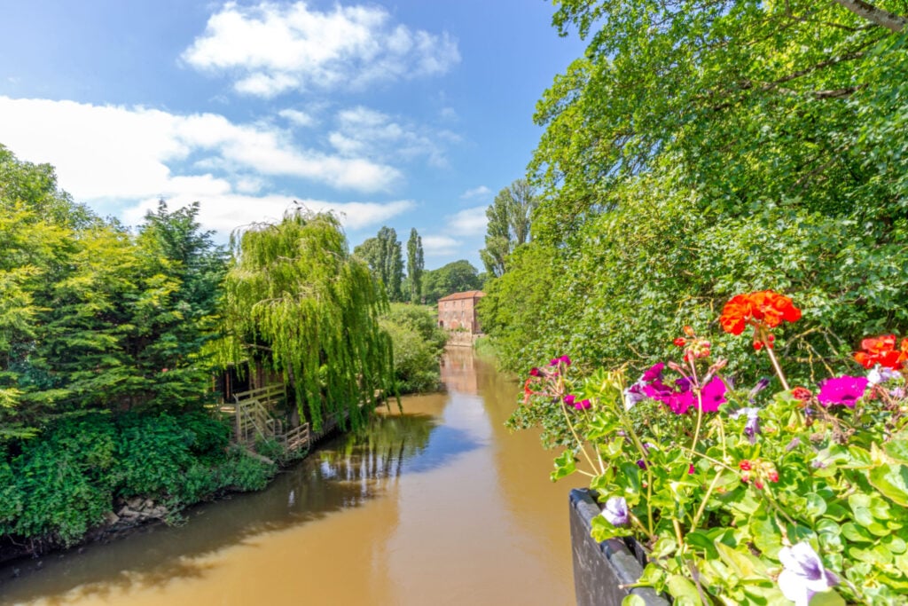
Norton and Auburn Hill is a 9.5 kilometer loop trail located near Norton-on-Derwent, North Yorkshire, England and is rated as moderate. The trail is primarily used for hiking, walking, and running.
The Route
- what3words for start point: ///file.masterpiece.every
- Start / Finish Point: Norton-on-Derwent
- Distance: 6 Miles
GPX Route Map
Walk Description
A circular walk from the market town of Norton on Derwent in Ryedale. The route performs a loop to the east, taking in long stretches of peaceful arable fields and the southern tracks and lanes which are home to many horse racing stables.
The walk has a couple of steady climbs and descents. About half of the route follows pavements alongside the local roads with the remainder following unmade footpaths and bridleways through the fields. The paths are generally firm but the bridleway tracks can get very muddy at times. You will need to negotiate 3 stiles, (2 standard wooden stiles and 1 wooden ladder stile). The stiles have wooden fence surrounds, the tightest of which has a gap suitable for a medium-large dog to pass through but larger dogs may need a lift over. You will need to cross one paddock that is likely to be holding horses. Allow 3 hours.
If you are looking for refreshments you will find several pubs and restaurants on Church Street and Commercial Street near the start of the walk. OS Map: Explorer 300 Howardian Hills and Malton. This walk follows public footpaths and bridleways which cross private and public land. Please observe the Countryside Code.
