A quick burst of the outdoors on this easy walk around Harthill Reservoir, Sheffield.
The Route
- what3words for start point: ///saved.hartdrawn.circus
- Start Point: 2
- Finish Point: Small car park at the end of Carver Way
- Distance: Small car park at the end of Carver Way
GPX Route Map
Walk Description
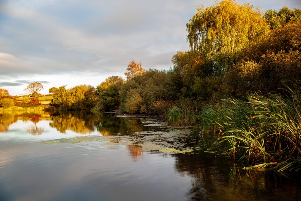
If you’ve parked in the car park, head back towards Carver Way. If you’ve not managed to park in the car park, head towards the cul-de-sac of Carver Way. At the end of the lane, you meet the top north east point of the reservoir.
With the reservoir in front of you, turn right to follow the reservoir’s northern edge, with the water on your left side. You are right next to the water’s edge until you turn the second bend to the left, where the reservoir disappears behind trees.
Ignore the path across the reservoir to your left and carry on. As the path turns to the right, ignore the second path across the reservoir to your left as well.
Follow the path as it continues southwards. The southern end of the reservoir is hidden by the trees, but eventually, the path turns to the left to cross a brook via a bridge. Turn left just after, and head northwards with the trees on your left now.
Soon, the reservoir comes into view again, through the gaps in the trees. Follow this path all the way back to the car park, or onwards along Carver Close to where the parking.
