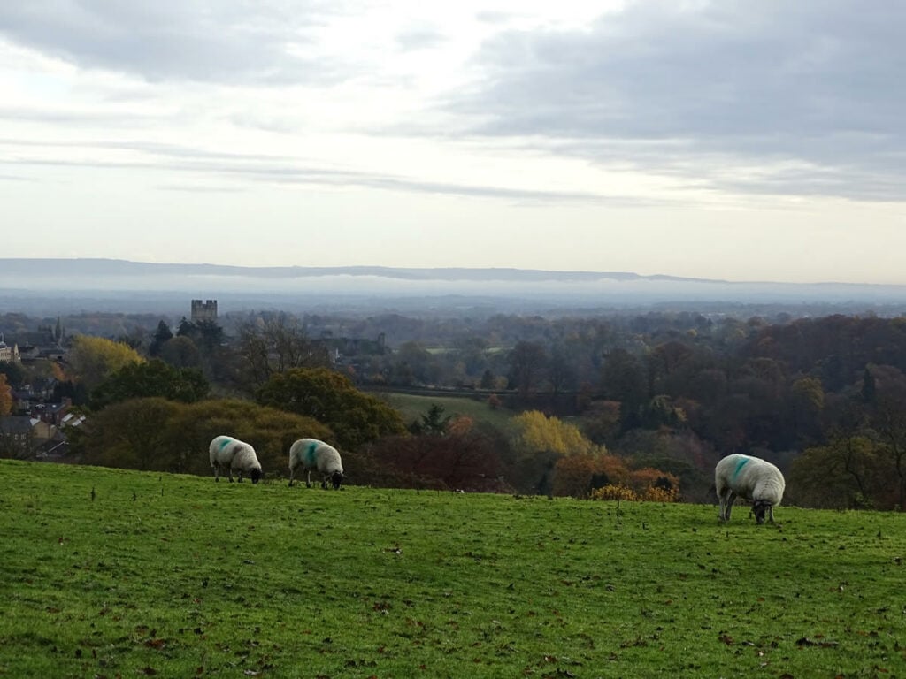
An unforgettable walk that offers wonderful views of Swaledale with dark forest walks, river trails and dramatic cliffs with a dose of historical sites thrown in for good measure.
The Route
- what3words for start point: ///rates.prefect.shelf
- Start Point: Aislabeck Plantation, Hurgill Rd, Richmond DL10 4SG
- Finish Point: Aislabeck Plantation, Hurgill Rd, Richmond DL10 4SG
- Distance: 4.5 Miles
GPX Route Map
Walk Description
This breath-taking route is ideal for holidaymakers and local residents looking to find a new trail on their doorstep. Weaving through scenic woodland, along the powerful river and up into the hills where the sun streams over the kaleidoscopic colours of the Swale valley, this circular walk is one for all seasons and takes in a myriad of wildlife.
