The Calderdale Way is a picturesque long-distance walking route that winds through the stunning landscapes of West Yorkshire. Covering approximately 50 miles, this circuit takes walkers through the scenery of Calderdale with a start and finish point just near Norland Moor Nature Reserve.
The Route
- what3words for start point: ///lions.string.goods
- Start & Finish Point: New Clough Rd, Sowerby Bridge HX6 3RE
- Distance: 50 Miles
GPX Route Map
Walk Description
Ripponden
The starting point for many on the Calderdale Way, Ripponden is a charming village in the Ryburn Valley. The route then crosses through Soyland, Cragg Vale and Withens Clough Reservoir.
Te Deum Stone
A historical marker, the Te Deum Stone is a notable point on the route. The stone is shrouded in local legend. The route continues past Mankinholes and Limbutts.
Todmorden
A vibrant market town, Todmorden sits at the meeting point of three valleys. It’s an excellent spot to pause, explore the local shops, and perhaps enjoy a meal before continuing on. The route continues past Lydgate and Blackshaw Head.
Heptonstall
A historic village with cobbled streets and ancient buildings, Heptonstall is steeped in history and offers a fascinating stop on the Calderdale Way. The route continues on through Midgehole, close to Hardcastle Crags - a beautiful area with woodland paths.
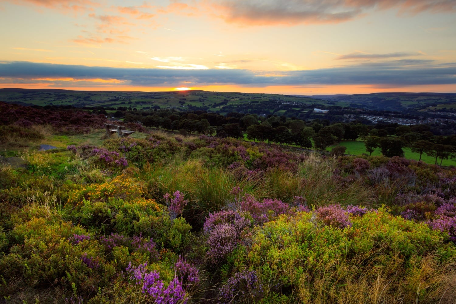
Midgeley Moor
Crossing Midgeley Moor, you’ll experience expansive views. One waypoint is Churn Milk Joan, a standing stone on the moor and notable landmark. The route continues on through Booth, Causeway Foot and Mixenden.
Illingworth Moor
As you approach Illingworth Moor, the landscape opens up, with sweeping views across the moors and valleys, a true highlight of the Calderdale Way. The route then climbs up past Catherine Slack, Shelf and Northowram.
Norwood Green
A picturesque village with traditional stone houses and leafy lanes, Norwood Green is a peaceful stop. Bailiff Bridge then marks the transition from rural landscapes to the outskirts of urban areas. The route continues past Thornhills.
Brighouse
A bustling town, Brighouse offers a range of amenities and a chance to restock before heading into the final stages of the walk. The Calder and Hebble Navigation runs through this town. The route continues past Brookfoot and Freeman's Cut.
Southowram
Southowram sits on elevated ground, offering fantastic views back across Calderdale. The village itself has a rich history.
West Vale and Greetland
The final stretch of the Calderdale Way takes you through West Vale and Greetland, bringing your journey full circle with a mix of rural and urban landscapes.
