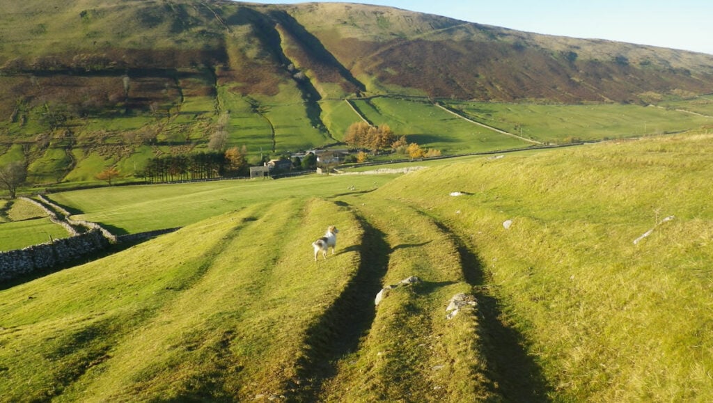
This walk is set in Ravenstonedale in the Westmorland Dales on the edge of the Yorkshire Dales National Park. The Clouds is a rocky outcrop on the flank of Wild Boar Fell, with limestone crags and pavements. It is a fascinating geological environment, with a history of small-scale farming and mining for minerals and lead and the opportunity to spot birds, small mammals and wild ponies.
The Route
- what3words for start point: ///duty.celebrate.victor
- Start / Finish Point: Ravenstonedale, Kirkby Stephen, Cumbria CA17 4LL
- Distance: 3.7 Miles
GPX Route Map
Walk Description
This walk is set in Ravenstonedale in the Westmorland Dales on the edge of the Yorkshire Dales National Park. The Clouds is a rocky outcrop on the flank of Wild Boar Fell, with limestone crags and pavements. It is a fascinating geological environment, with a history of small-scale farming and mining for minerals and lead and the opportunity to spot birds, small mammals and wild ponies.
The route takes you across sections of the limestone pavement and beside a walled enclosure known as Harry Hope's Land (he is said to have lived on this remote farmstead until around 1820). A loop along the Stennerskeugh Clouds provides fantastic views across the Eden Valley to the Pennines and the Lake District fells.
You can follow this walk for free on the Walkingworld iOS and Android app (search for Walkingworld - all one word - in the app store). Use walk ID 6537 to find it quickly.
