A quick burst of the outdoors on this easy walk around More Hall Reservoir, near Ewden, Sheffield.
The Route
- what3words for start point: ///reshape.reinstate.intervene
- Start Point: Off-street parking around New Mill Bank Road, S36 4ZD
- Finish Point: New Mill Bank Road, S36 4ZD
- Distance: 3 Miles
GPX Route Map
Walk Description
From wherever you have parked, head towards the junction of roads at the south end of Ewden village.
With the fence and the Yorkshire Water signs in front of you, turn left and keep to the road on the right of the junction. Walk along the road, called New Mill Bank, which runs parallel with the northern shore of the reservoir shore for around a mile.
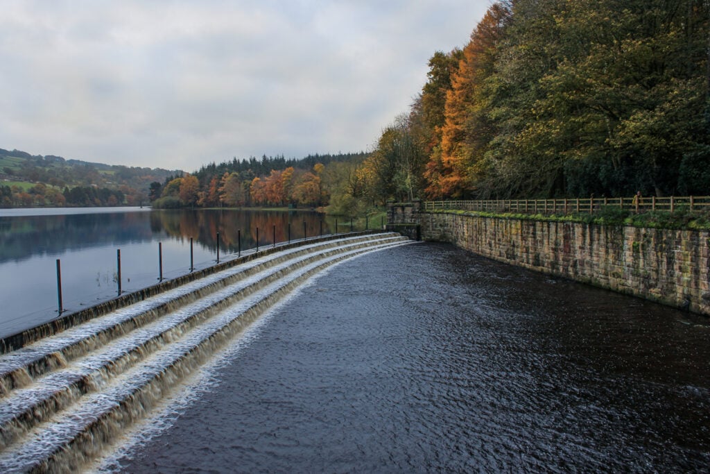
Steal views of the reservoir through the trees and vegetation as you walk. At the stone reservoir building, enter the embankment via the pedestrian gate, and cross the embankment to the southern end of the dam.
Turn right and follow the footpath along the southern shore of the reservoir, always keeping the water on your right. Towards the end of the reservoir, the path forks, and here, take the right-hand fork to continue to a green gate. Head through the gate (which is compatible with a radar key for anyone requiring wheelchair or mobility vehicle access) and continue until you meet the road.
Turn right, being careful for vehicles on this narrow country lane, and follow the road over the bridge to the junction of roads and back to where you parked your car.
