Between Masham and Nidderdale is a remote area of moors, brilliant for peace, tranquillity and bird life. The moors have excellent tracks and paths so the distances never seem that large.
The Route
- Start Point: Leighton Reservoir Car Park, Ripon HG4
- Finish Point: Leighton Reservoir Car Park, Ripon HG4
- Distance: 10 Miles
GPX Route Map
Walk Description
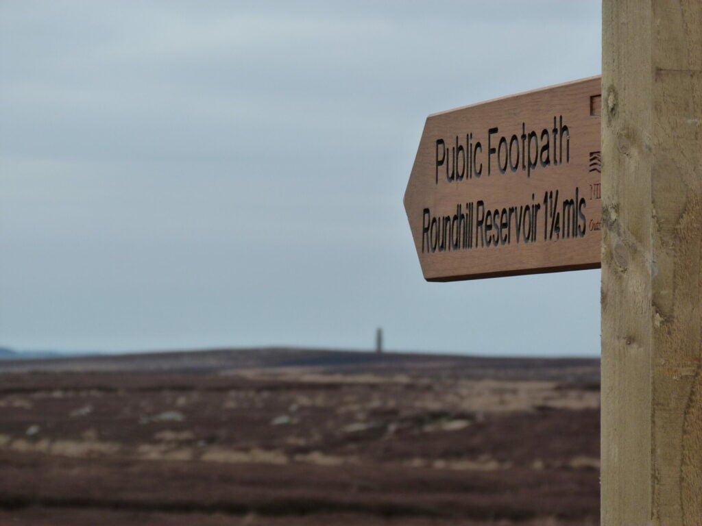
From Masham, drive to Leighton Reservoir. Park up and start the walk by crossing between the two reservoirs. From Roundhill Reservoir, head south on to the moors past Arnagill Tower. The footpath meets a good track which is followed to the high scar which overlooks Upper Nidderdale. Walk along the rim of the dale below for 1 mile to another track which heads back east towards Leighton and Roundhill Reservoirs, where the walk started.
