A fantastic circuit of Kisdon Gorge in Swaledale, visiting traditional Dales villages and cascading waterfalls, exploring a hidden gill and enjoying stunning views from the atmospheric ruins of ‘Crackpot Hall’.
The Route
- what3words for start point: ///engulfing.prompts.whistle
- Start Point: Muker in Swaledale
- Finish Point: Muker in Swaledale
- Distance: 7 Miles
GPX Route Map
Walk Description
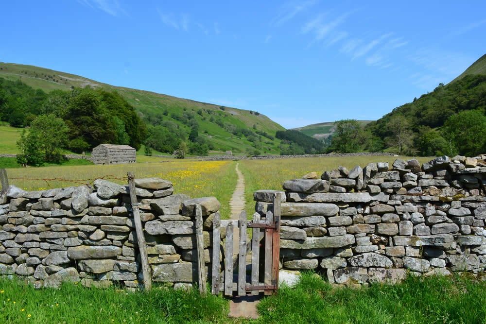
The walk sets off from the charming Dales village of Muker and begins with a gentle stroll through traditional hay meadows, which are filled with a stunning array of wildflowers in late spring and early summer, and along the banks of the infant River Swale. Leave the main track to explore the narrow paths along steep-sided Swinner Gill, taking you past tumbling cascades to reach a beautiful set of waterfalls and the crumbling remains of an old smelt mill. Having gained height you now get stunning views down the length of Kisdon Gorge as you head towards the atmospheric ruins of Crackpot Hall.
On re-joining the main bridleway along the gorge, you soon reach pretty little East Gill Force, where the beck leads you downhill back to the River Swale. A short detour gives you chance to explore the remote village of Keld with its lovely hillside setting before stopping to visit impressive Kisdon Force.
Take the high-level path along the western side of Kisdon Gorge, which offers yet more fantastic open views over the gorge and along Swaledale. Drop back into Muker for a well-earned drink at the friendly Farmers Arms! This is a fantastic circular walk and, despite its relatively modest length, can easily take most of a day if you spend plenty of time enjoying the villages, exploring Swinner Gill, soaking up the views and admiring the waterfalls (or even taking a quick dip!).
