Discover Low Hutton
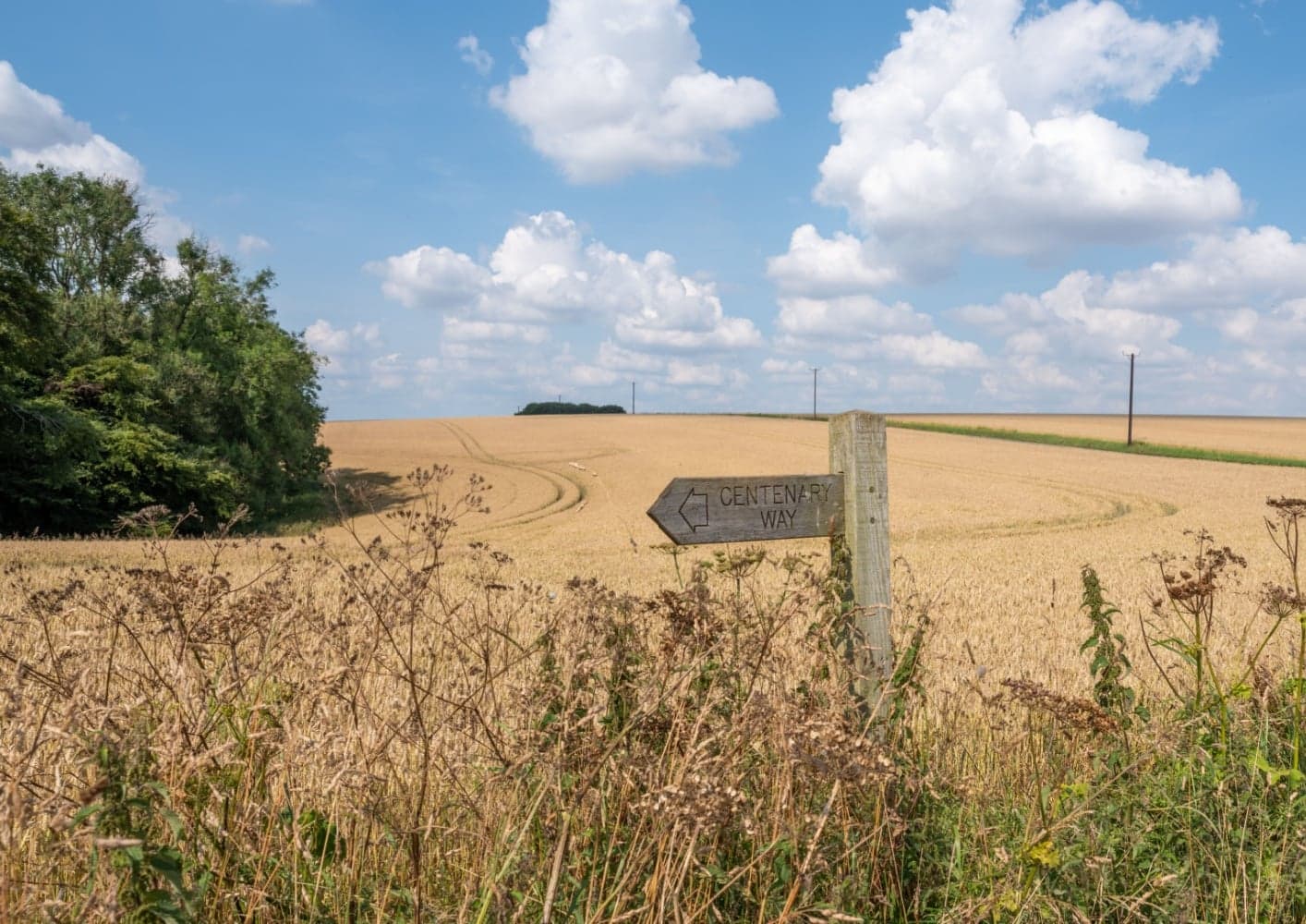
Low Hutton is a village located in North Yorkshire, England, governed by North Yorkshire Council (formerly Ryedale). The village is part of the scenic Vale of Pickering, known for its rich agricultural landscape. Visitors should explore the local countryside, which offers a glimpse into rural English life and its farming traditions.
Explore the map below to discover accommodation, attractions, restaurants, and live events across Low Hutton. Scroll down to browse featured listings and plan your perfect visit.
Stay in Low Hutton
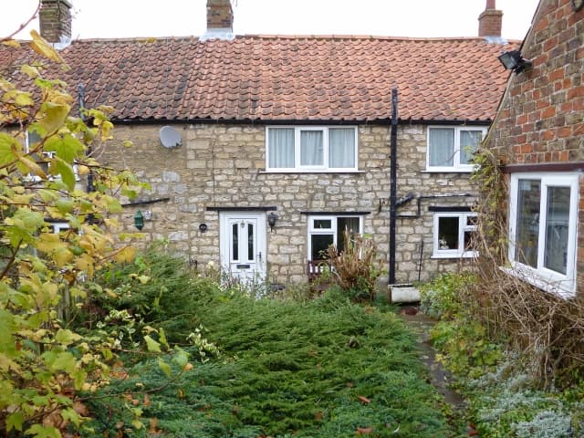
4 Wellgarth
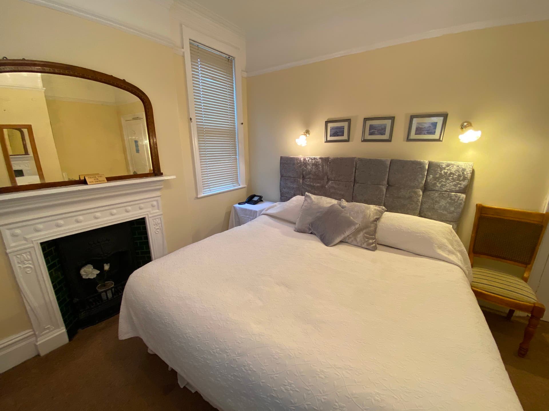
Old Manse Guest House

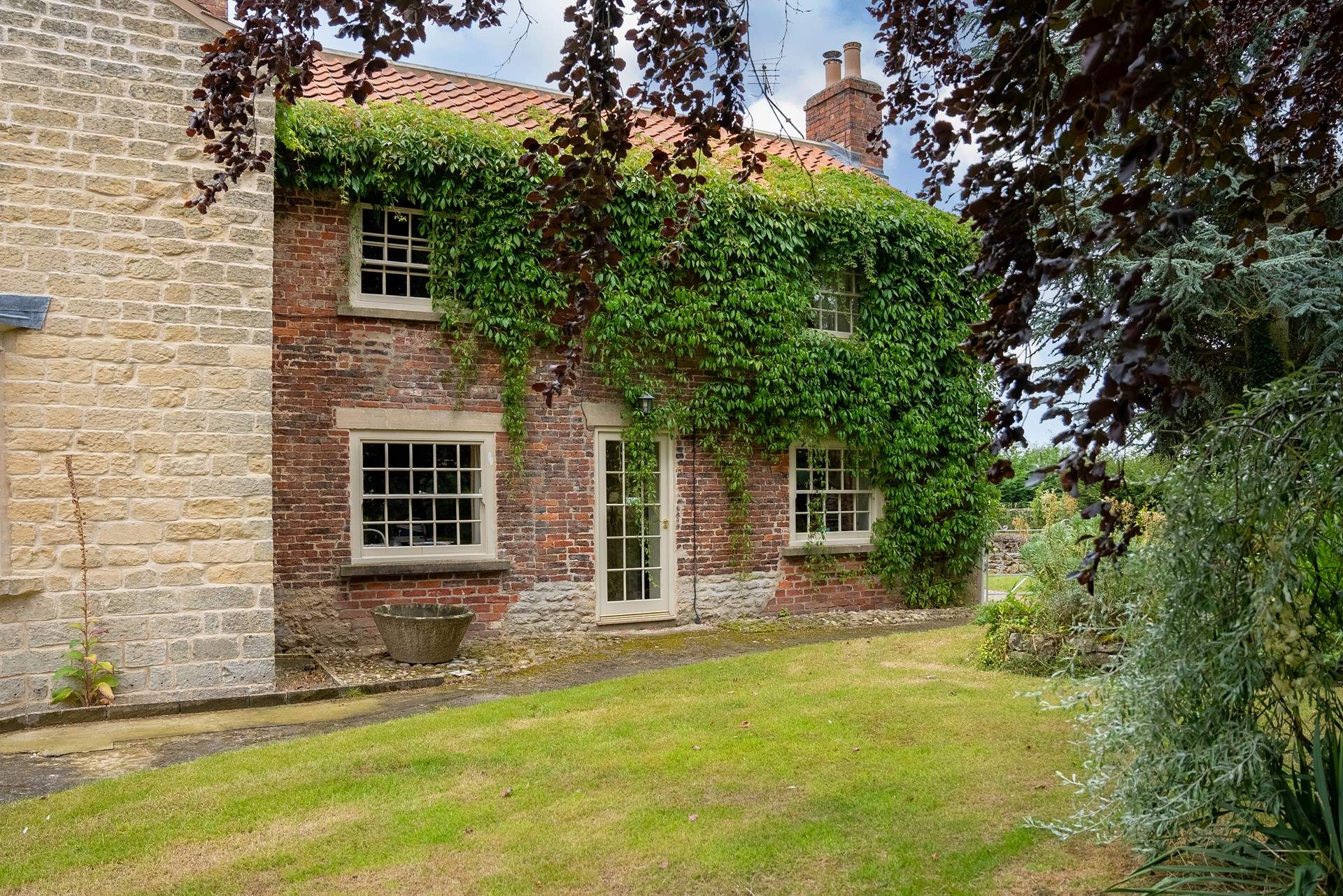
Barn Owl Cottage

Brickfields Farm
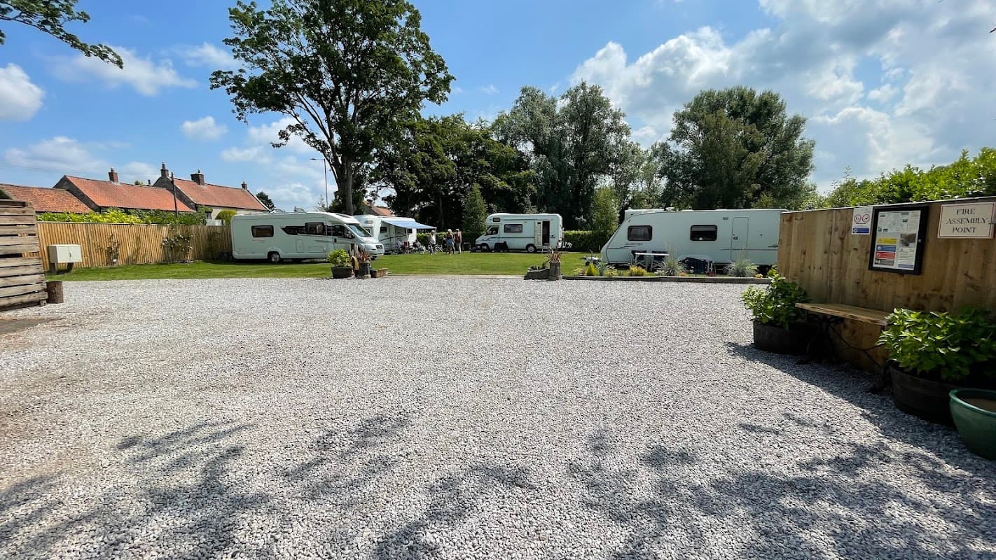
Lakeside Caravan Park
Lakeside Caravan Park provides comfortable accommodation in pickering.
Things to Do in Low Hutton
Sinnington Common
Sinnington Common offers convenient parking for visitors exploring the picturesque village of Sinnington. Located on Main Street, this facility provides easy access to the charming medieval church and the scenic village green, perfect for a peaceful picnic or a leisurely stroll. Enjoy the tranquil surroundings and the nearby attractions with ease.
Millington Lane, Jenny Firkin Wood
Millington Lane, located near Jenny Firkin Wood in the scenic area of Millington, offers convenient parking for visitors exploring the nearby hiking trails and parks. This pay-and-display facility ensures easy access to the natural beauty of the region, making it an ideal starting point for outdoor enthusiasts visiting York.
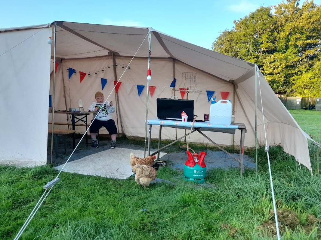
Tins and Canvas
Discover a charming and peaceful glamping experience at Tins and Canvas, nestled near Pickering town centre.
Food & Drink

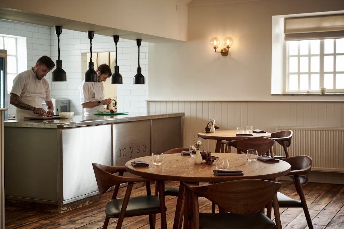
Restaurant Mýse
Located in the picturesque village of Hovingham, Restaurant Mýse offers a delightful fine dining experience. While enjoying the culinary delights, visitors can conveniently park nearby using the pay-and-display parking options available in the area. This ensures a hassle-free visit to this renowned dining destination.

Wolds Coffee House

Interactive Map
View accommodation, attractions, restaurants, and events on the map
Geographic Facts
This village is geographically within the following regions:
- Administrative area
- Huttons Ambo
Data sourced from Wikidata and verified public records