A family friendly stroll along the Aire & Calder Navigation lined with picturesque canal boats.
The Route
- what3words for start point: ///trade.newest.lease
- Start / Finish Point: Stanley Ferry, Stanley, Wakefield WF3 4LZ
- Distance: 1.4 Miles
GPX Route Map
Walk Description
Located on the edge of Wakefield, Stanley Ferry is home to the Canal and River Trust workshop where skilled carpenters make the lock gates that are needed to ensure repairs can be made to our waterways. You will be able to see the workshop on your left as you start the walk. As you look down the navigation you will also be able to see the Stanley Ferry Aqueducts which sit side by side, one having built in the Victorian Era and the other in 1981. You can walk down towards the Aqueducts to see the heritage more closely.
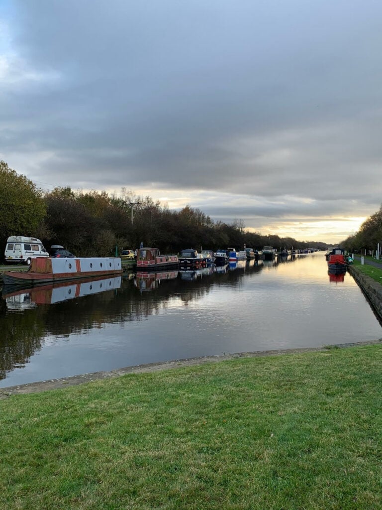
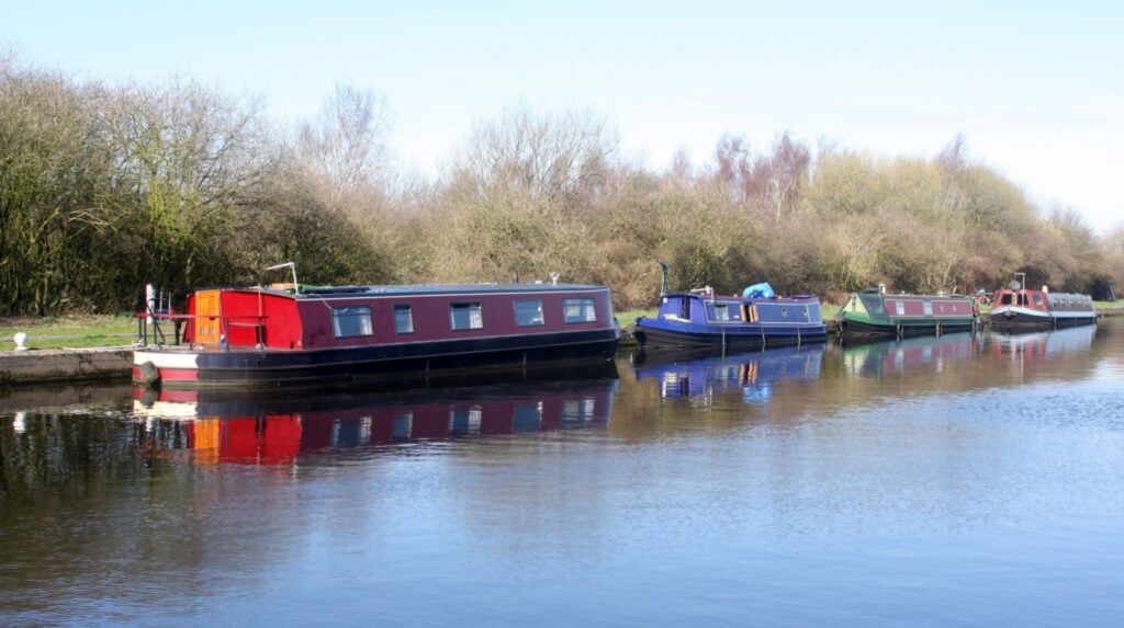
Start the walk by crossing the Aire and Calder Navigation using Ramsden Swingbridge, if you are lucky a boat maybe cruising past so you can see the bridge in action, and follow the wide track along the edge of the canal. This area is a popular mooring site, surrounded by woodland, so there are a wide range of decorative boats to see on this waterside stroll.
Once you reach Wellbeck Lane you can cross the canal here and pick up the hedge lined footpath running back down to Stanley Ferry. You have the choice at this point to extend the walk further to explore the Southwash Land Nature Reserve and visit Broadreach Lock before turning back if you wish.
