An urban walk around some of Burngreave's green spaces and places to be active.
The Route
- what3words for start point: ///candle.rocks.king
- Start / Finish Point: Verdon St, Sheffield S3 9QS
- Distance: 3.84 Miles
GPX Route Map
Walk Description
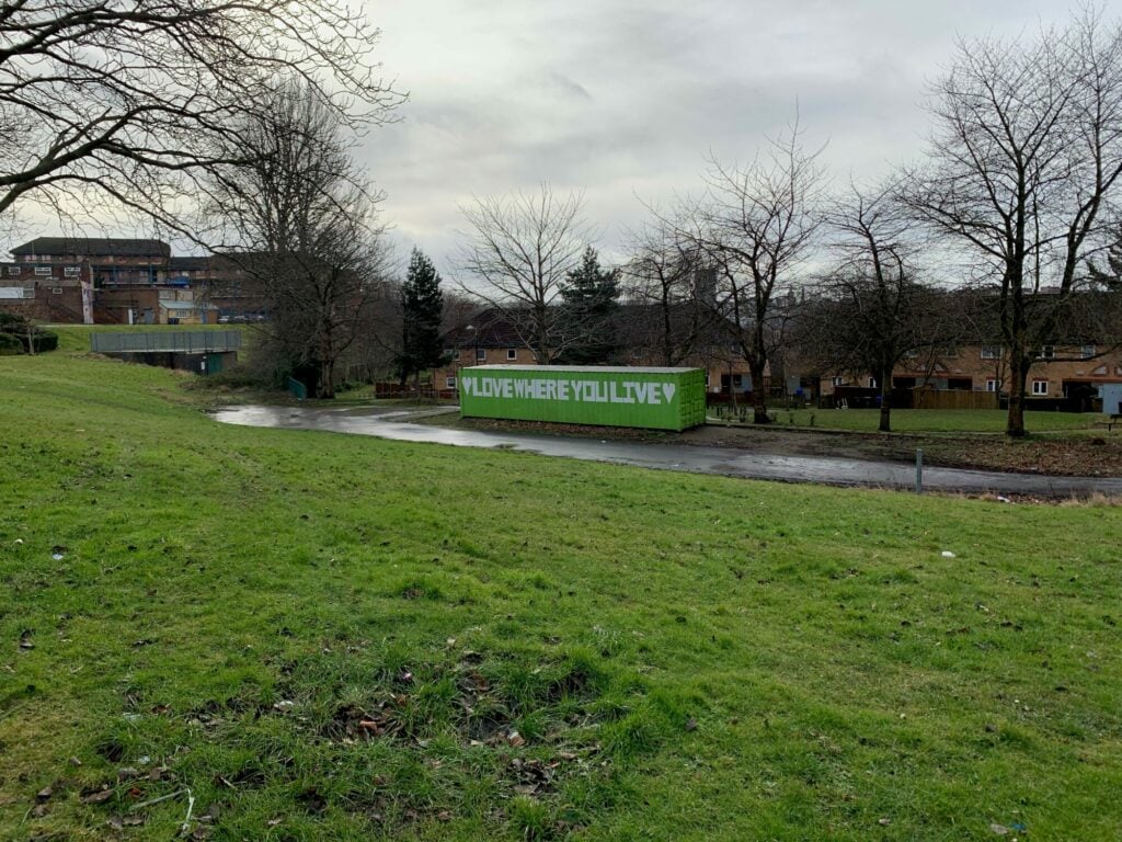
A circular route around some of the landmarks and spaces to be active in Burngreave. The route starts in Burngreave and continues into Fir Vale and back round. A number of local parks on the route, meaning it would be good for families. The route is all tarmac pathways or Public Footpath. Suitable for pushchairs or wheelchairs (although a few inclines and some steps within Crabtree Pond Nature Reserve- but these can be avoided!) Great to see a number of community facilities. A number of hidden gems, where you can get some peace and quiet away from busy roads!
