Site of one of the bloodiest battles in the War of the Roses between the houses of York and Lancashire this walk is dripping with history as well as the beautiful landscape that now surrounds the area.
The Route
- what3words for start point: ///harsh.weeknight.manages
- Start Point: Towton
- Finish Point: Saxton
- Distance: 4 Miles
GPX Route Map
Walk Description
29 March 1461 was the date of the battle of Towton one of the decisive battles in the War of the Roses one you too can walk in the footsteps of kings and imagine the historic conflict unfolding over this beautiful landscape. The victory of the Yorkists here was the turning point in the struggle and placed Edward IV on the throne.
Starting from the village you can follow the route and learn about the people, the landscape and the 28,000 causalities in the battle from the excellent information boards provided. You'll learn why bloody meadow is so named!!
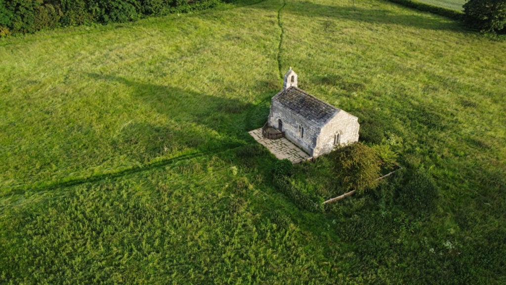
Make sure you finish by the Towton Cross which was erected to commemorate those that fell on the field on that fateful day.
