
Welcome to Yorkshire
News • August 8th, 2025
|Ever been on a call when the line suddenly goes dead? Or tried to load a map when you're lost, only to see that dreaded spinning wheel? Bad mobile signal is one of those little things that can make a big difference to the day. It's frustrating.
But a clever new project in South Yorkshire is tackling this problem head-on, using some unlikely heroes: the local bin lorries and street sweepers. These everyday vehicles are being kitted out with special tech to map out mobile coverage, street by street. This innovative scheme is designed to hunt down those annoying 'not spots' where the signal disappears, ultimately improving digital connectivity for everyone living and working in the region.
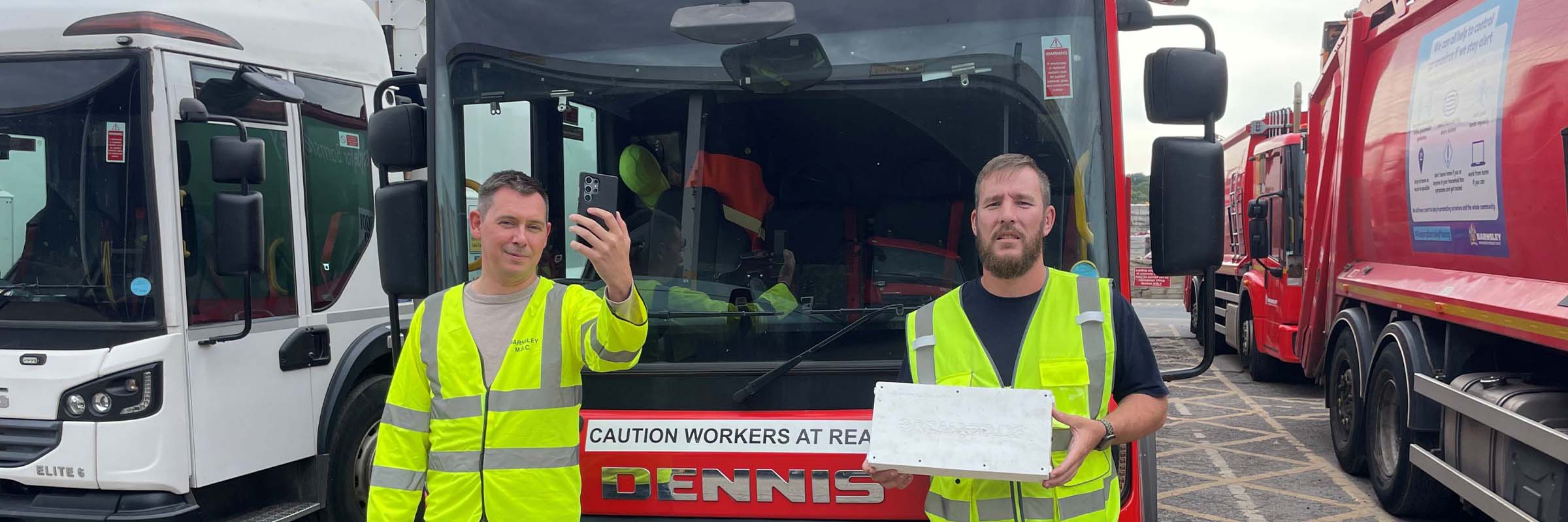
Image source: https://www.southyorkshire-ca.gov.uk/getmedia/0a130610-7e03-486a-8d42-e3c17614db54/
How the project works its magic
So, how exactly does a bin lorry check your mobile signal? It's simpler than it sounds. This 12-month, £34,000 project, funded by the South Yorkshire Mayoral Combined Authority (SYMCA), is a partnership with a company called Streetwave, who are experts in mobile analytics. They've attached special measuring equipment to recycling trucks and street sweepers across the region.
As these vehicles go about their normal daily rounds, the gear quietly gets to work. It gathers real-time data on everything that matters for a good connection. This includes mobile signal strength, how fast you can upload or download something (think posting a photo versus streaming a video), and which network frequency is available. The information is collected for all four of the UK's main mobile network operators: EE, O2, Three, and Vodafone. Because the lorries travel up and down almost every single street, the project gets an incredibly detailed picture of the mobile coverage across the whole of South Yorkshire. This isn't just a general overview; it's a hyper-local map of mobile performance.
The project kicked off in Barnsley on the 7th of August 2025 and will be rolled out across Doncaster, Sheffield, and Rotherham. To make sure the data is spot on, the whole mapping process will be done a second time. This ensures the information about the mobile signal is accurate and reliable, giving a true picture of the connectivity available on any given street.
What this means for you
This whole project is about giving power back to the people. Once all the data is collected and crunched, it will be used to create a free, interactive online map. Anyone will be able to pop in their postcode and see exactly what the mobile coverage is like in their area. Want to know which network has the strongest signal at your house? Or if you'll be able to get a decent connection on your commute to work? This map will tell you.
Imagine you're about to sign a new two-year phone contract. The deal looks great, but what if that network has terrible mobile coverage on your street? You could be stuck with a phone that barely works at home. The postcode checker will let you compare the performance of EE, O2, Three, and Vodafone right where you need it most. It removes the guesswork. No more taking a provider's word for it; you can see the independent data for yourself. This street-level data offers a clear view of mobile signal quality, which is a massive help before committing to a long contract. This project puts real, useful information directly into the hands of residents across South Yorkshire, helping them get the best possible mobile connectivity.
The bigger picture for South Yorkshire
While the map is a brilliant tool for individuals, this project has a much wider impact. The huge amount of data collected will create a detailed, street-by-street view of digital connectivity across the region. This is incredibly useful for identifying those stubborn 'not spots' - small pockets where the mobile signal is weak or non-existent. It's one thing to know that coverage is a bit patchy in an area; it's another to have a precise map showing exactly which streets are affected.
This detailed information will support the SYMCA in its push for better mobile coverage for everyone. When they talk to mobile network operators about making improvements, they'll be armed with hard evidence. The data will highlight exactly where investment is needed most. Furthermore, it will help local authority planning teams. When an application comes in for a new phone mast, they can use this data to see if it's being proposed for an area that genuinely needs better signal. It helps ensure that new infrastructure is built in the right places to improve the overall network. The project started with data collection in Barnsley, and as it moves across the region, it will build a complete connectivity blueprint for all of South Yorkshire.
A word from the mayor
The driving force behind this is the understanding that in today's world, a reliable mobile connection is not a bonus, it's essential. South Yorkshire's Mayor, Oliver Coppard, summed it up perfectly. He highlighted that good digital connectivity is vital for so many parts of modern life.
He said:
"Digital connectivity isn't a luxury - it's a necessity. Whether it's accessing public services, running a business or just staying in touch with friends and family."
He also pointed out the problem the project is designed to solve, which is the inconsistent mobile signal that many people still experience.
"Too many people in South Yorkshire are still stuck in mobile 'not spots' where coverage is patchy or non-existent. That's why it's important this project is giving us the data we need to change. To make sure everyone in South Yorkshire can get the signal they need, wherever they live."
The first batch of data, from the work currently happening in Barnsley, is expected to be available to the public in the coming weeks. So, soon, residents there will be the first to check out the new map and see how their street stacks up.
Yorkshire Team
The Yorkshire.com editorial team is made up of local writers, content creators, and tourism specialists who are passionate about showcasing the very best of God’s Own Country. With deep roots in Yorkshire’s communities, culture, food scene, landscapes, and visitor economy, the team works closely with local businesses, venues, and organisations to bring readers the latest news, events, travel inspiration, and insider guides from across the region. From hidden gems to headline festivals, Yorkshire.com is dedicated to celebrating everything that makes Yorkshire such a special place to live, work, and visit.
View all articles →


