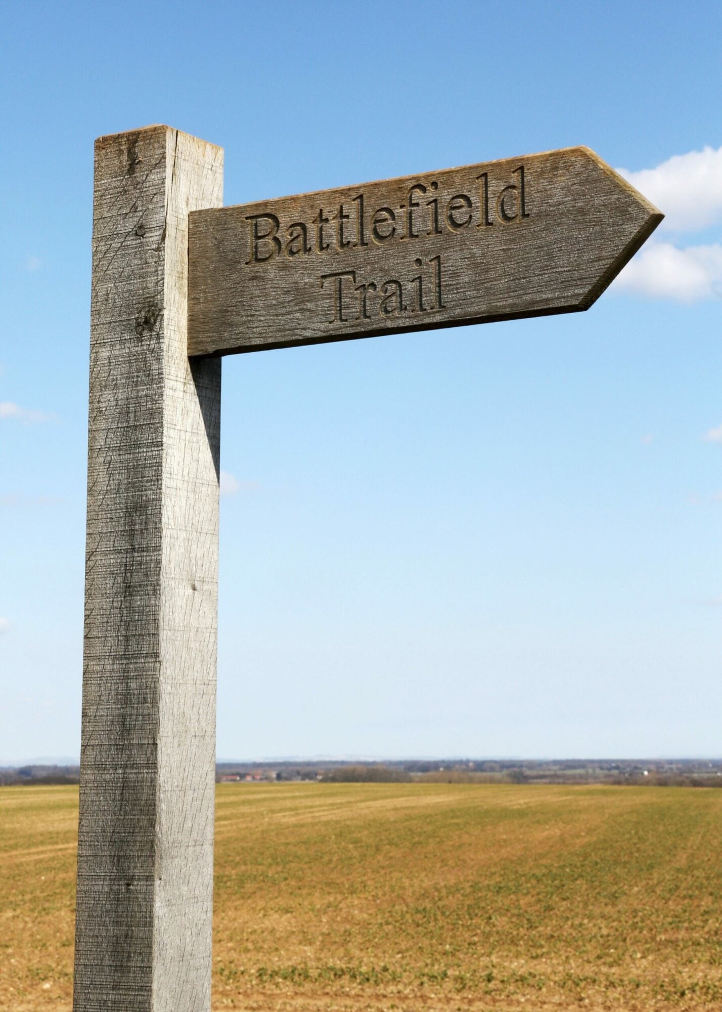
The Towton Battlefield Trail takes you through the site of what is alleged to be the largest and bloodiest battle ever fought on English soil.
The Route
- What3Words reference: ///standing.foresight.incensed
- Start / Finish Point: Main St, Towton, Tadcaster LS24 9PB
- Distance: 4 Miles
GPX Route Map
Walk Description
In March 1461, Towton, near Tadcaster, was the setting for one of the most enormous (both in terms of importance and scale) battles in the Wars of the Roses. On Palm Sunday, 50,000 men are thought to have clashed. The battle between York and Lancaster men saw at least 800 men killed and the monarchy change hands from Henry VI to Edward IV. Towton was a decisive victory for the Yorkists and left the House of Lancaster in turmoil.
The history of the location lends intrigue and gravity to the wonderful views of the North Yorkshire countryside. You can learn much more about the history and see artefacts at the Visitor’s Information Centre in the grounds of the Crooked Billet pub.
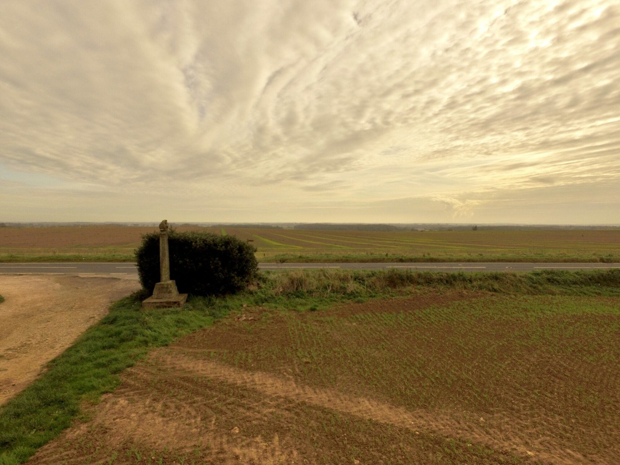
In 1929, the Towton Cross was erected on the battlefield and you will see it on the trail.
The walk is a signposted circuit of the battlefield beginning in Towton Village. Head west on Old London Road and then following the signs for the Towton Battlefield Trail. Follow the trail and you will come across information signs detailing the history of the land. It may be muddy this time of year so bring your walking boots. Although it is a much safer walk than if you were to walk it in March 1461!
Guides are available twice a month from the Towton Battlefield Society in a 2-and-a-half-mile informative route from a history enthusiast.
