Discover Ugthorpe
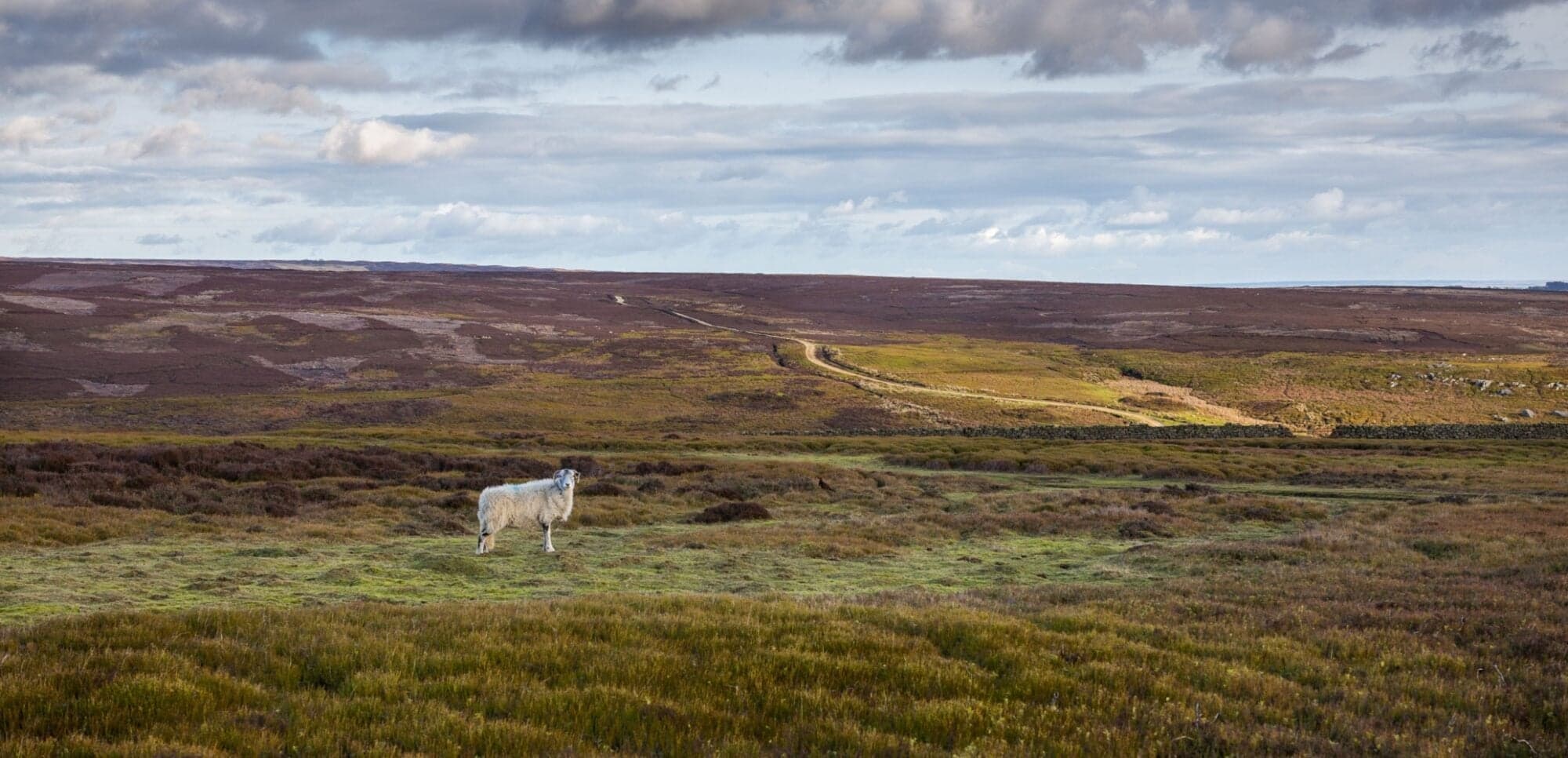
Ugthorpe is a village located in North Yorkshire, under the governance of North Yorkshire Council. With a population of 249, it lies within the YO21 postcode area. Known for its rural landscape, Ugthorpe offers insights into traditional village life and is part of the scenic North York Moors National Park.
Explore the map below to discover accommodation, attractions, restaurants, and live events across Ugthorpe. Scroll down to browse featured listings and plan your perfect visit.
Stay in Ugthorpe

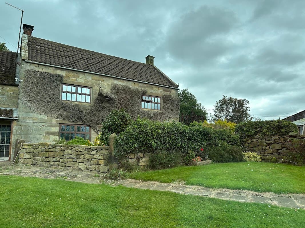
White House Farm - Beautiful Courtyard Rooms - Self-Contained
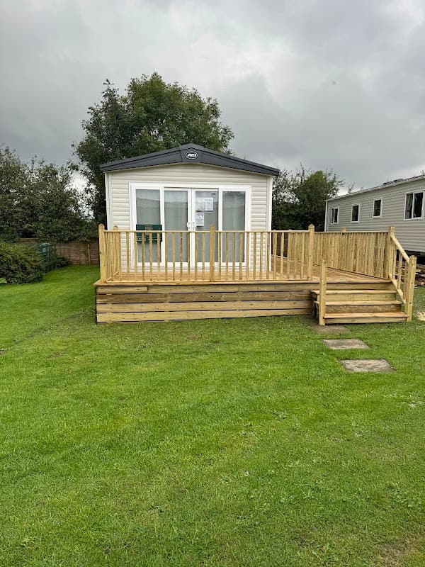
Burnt House Caravan Park
Burnt House Caravan Park provides comfortable accommodation in ugthorpe.

Folly Hall Farm

Esme's Cottage


Fairhaven Cottage
Things to Do in Ugthorpe

Guisborough Museum
Wild Slack Farm
Wild Slack Farm in Lealholm offers a serene parking experience for visitors exploring the scenic beauty of Whitby. This facility provides convenient access to the farm's charming features, including a farm fresh vending machine and basic amenities. Ideal for tourists seeking a peaceful countryside retreat with easy parking options.

Browse by Type
Food & Drink
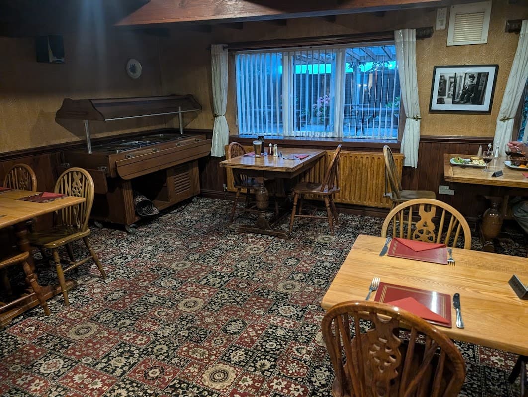
The Black Bull Inn
The Black Bull Inn in Ugthorpe offers convenient parking options for visitors looking to enjoy a classic British pub experience. Located in the picturesque village near Whitby, this establishment provides easy access for tourists exploring the local area. With a welcoming atmosphere and delicious home-cooked meals, it's an ideal stop for travelers.

Ruswarp Miniature Railway
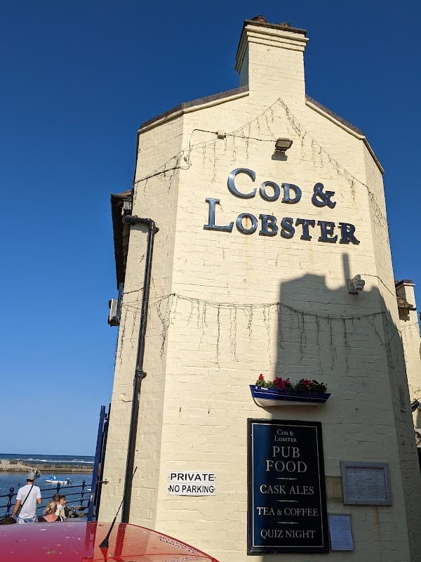
Cod & Lobster
Located in the charming village of Hinderwell, the Cod & Lobster offers convenient on-street parking for visitors. Enjoy a delightful meal with stunning sea views, making it a perfect stop for tourists exploring the Yorkshire coast.

Interactive Map
View accommodation, attractions, restaurants, and events on the map
Geographic Facts
This village is geographically within the following regions:
- Population
- 249
- Postcode
- YO21
- Administrative area
- North Yorkshire Council (formerly Scarborough)
Data sourced from Wikidata and verified public records