
Welcome to Yorkshire
News • June 18th, 2025
|Explore one of the North York Moors’ most iconic landscapes on this circular walk from Great Ayton. Combining the distinctive summit of Roseberry Topping with the historic Captain Cook’s Monument, this route rewards walkers with panoramic views, woodland trails and rolling moorland scenery.

National Park: North York Moors – North York Moors West
County/Area: North Yorkshire & Redcar and Cleveland
Length: 6.5 miles / 10.6 km
Ascent: 1200 feet / 364 metres
Grade: Easy/Moderate
Start: OS Grid Reference NZ574108
Lat: 54.4893
Long: -1.115428
Postcode: TS9 6HQ (approx. location only)
what3words: slam.asked.instant
GPX Route Map
Route Outline
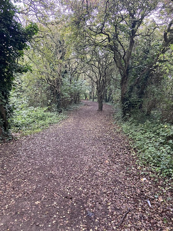
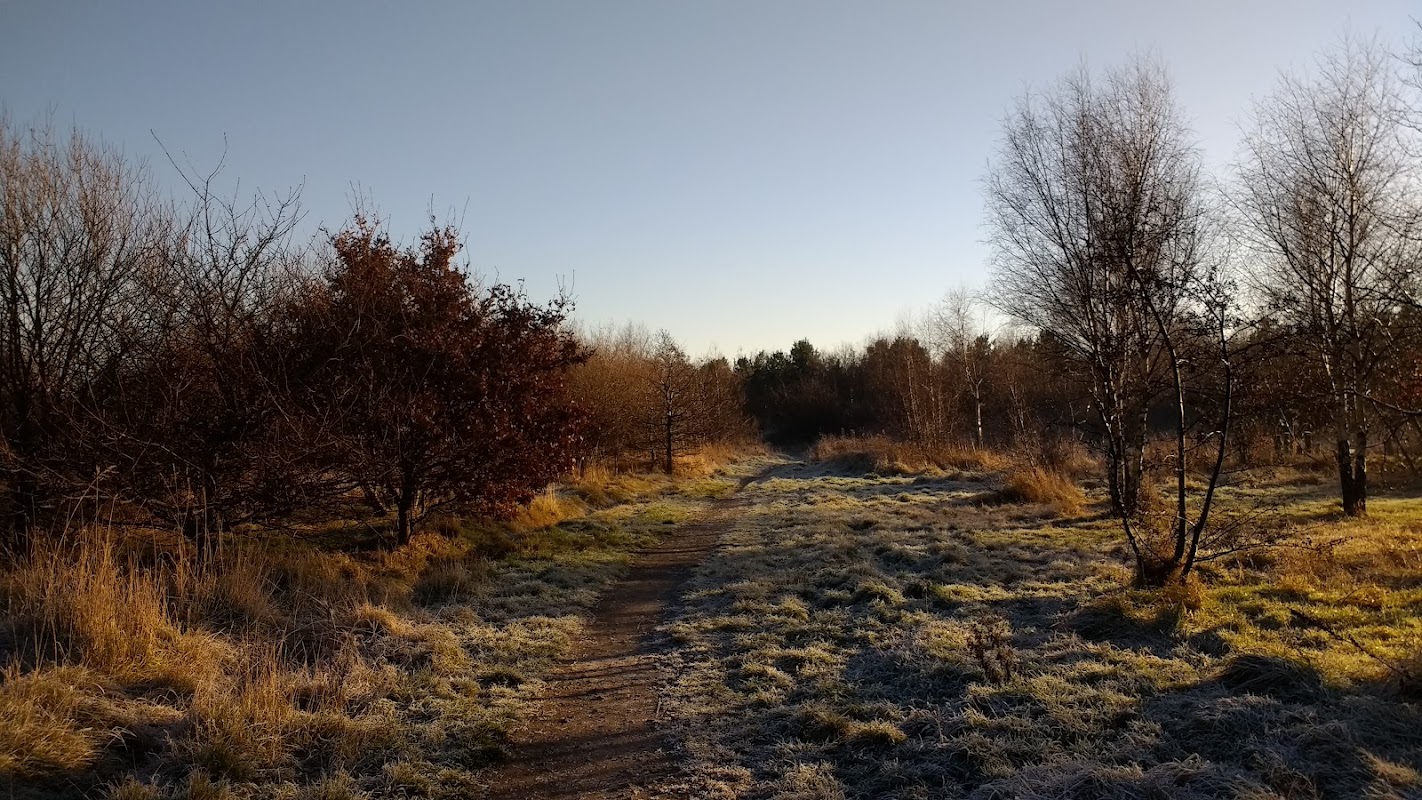
This popular North York Moors walk begins in the pretty village of Great Ayton, winding through woodland and open countryside to the dramatic peak of Roseberry Topping. With its striking shape and sweeping views, it’s one of Yorkshire’s most recognisable landmarks.
After enjoying the summit panorama, the route continues across moorland paths to Captain Cook’s Monument — an obelisk dedicated to the famed explorer who spent his boyhood in Great Ayton. From here, gentle woodland tracks and field paths complete the circuit back to the village.
This route offers a satisfying mix of scenery and heritage, perfect for a half-day walk in the heart of the North York Moors.
Yorkshire Team
The Yorkshire.com editorial team is made up of local writers, content creators, and tourism specialists who are passionate about showcasing the very best of God’s Own Country. With deep roots in Yorkshire’s communities, culture, food scene, landscapes, and visitor economy, the team works closely with local businesses, venues, and organisations to bring readers the latest news, events, travel inspiration, and insider guides from across the region. From hidden gems to headline festivals, Yorkshire.com is dedicated to celebrating everything that makes Yorkshire such a special place to live, work, and visit.
View all articles →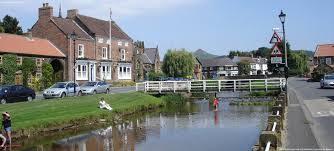

Comments
0 Contributions
No comments yet. Be the first to start the conversation!