Welcome to Yorkshire
Inspiration • September 1st, 2021
|
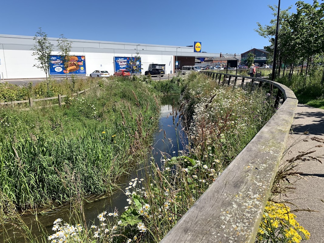
A special route celebrating the Bridlington Walking Festival.
Walk Route
- what3words for start point: ///ordeals.dunk.angers
- Distance: 1 mile
- Start Location: Tourist Information Centre, near the leisure centre
- Finish Location: The Spa, on the pavement overlooking the RNLI Lifeboat Station below.
OS Route Map & GPX Download
The Ordnance Survey map below shows the full walk route, in pink. You can use this (try the full screen mode) on your smartphone to guide you where to go.
Download the GPX file for your GPS navigation device using the pink link above, and you’ll be able to use this walk on your own devices.
Walk Description
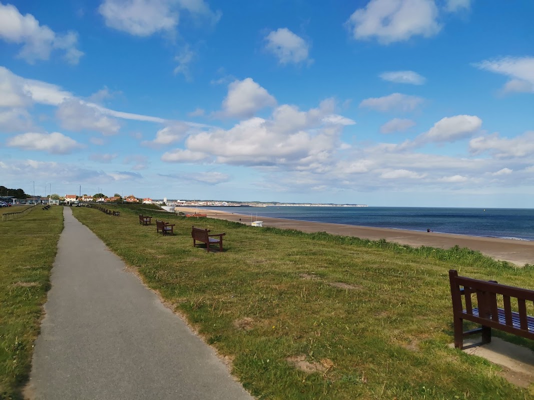
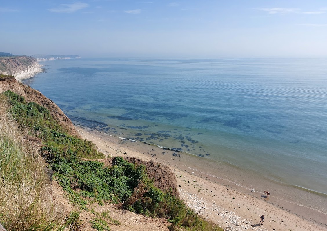
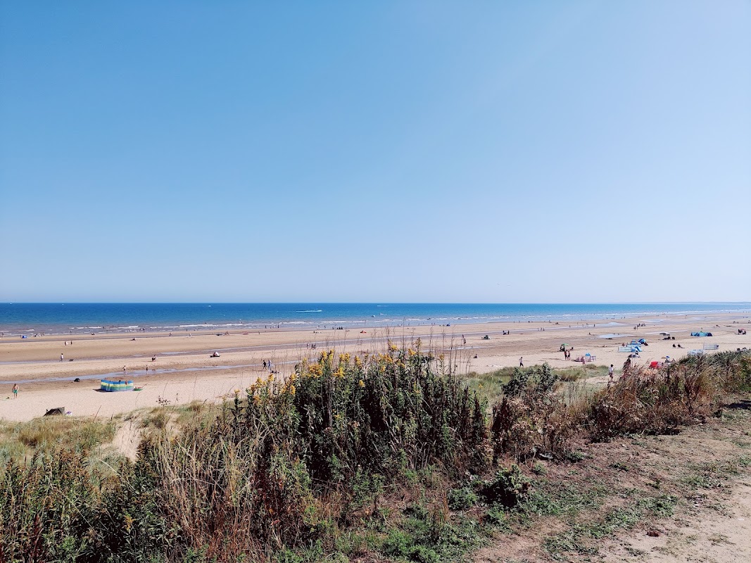
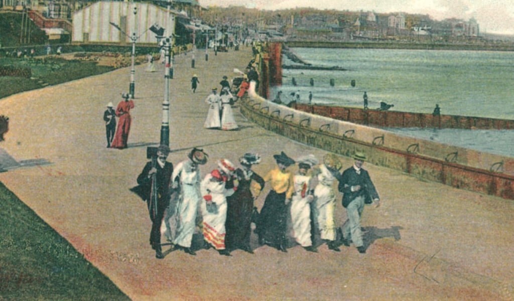
Stroll along the seaside of Bridlington and explore historic images from the town’s past, taking in the Harbour, Spa, and Princes Parade. Travel along the historic seafront which has been welcoming visitors for hundreds of years.
Yorkshire Team
The Yorkshire.com editorial team is made up of local writers, content creators, and tourism specialists who are passionate about showcasing the very best of God’s Own Country. With deep roots in Yorkshire’s communities, culture, food scene, landscapes, and visitor economy, the team works closely with local businesses, venues, and organisations to bring readers the latest news, events, travel inspiration, and insider guides from across the region. From hidden gems to headline festivals, Yorkshire.com is dedicated to celebrating everything that makes Yorkshire such a special place to live, work, and visit.
View all articles →