
Discover Allerthorpe
Allerthorpe is a village located in the East Riding of Yorkshire, governed by East Riding of Yorkshire Council. With a population of approximately 230, it falls under the YO42 postcode area. Known for its rural landscape, Allerthorpe offers visitors a tranquil setting amid Yorkshire's countryside, ideal for outdoor activities.
Explore the map below to discover accommodation, attractions, restaurants, and live events across Allerthorpe. Scroll down to browse featured listings and plan your perfect visit.
Property in Allerthorpe
Explore 18 properties in Allerthorpe — homes and commercial listings for sale and to rent. Start with detached houses.
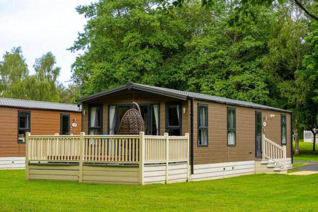
2 Bed Detached House - Allerthorpe Golf And Country Park, Allerthorpe
£49,950
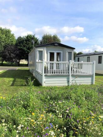
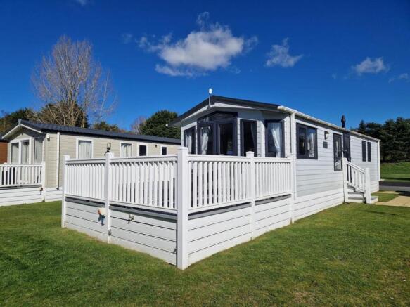
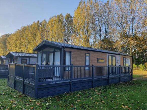
2 Bed Detached House - Victory Lakewood, Allerthorpe
£66,000
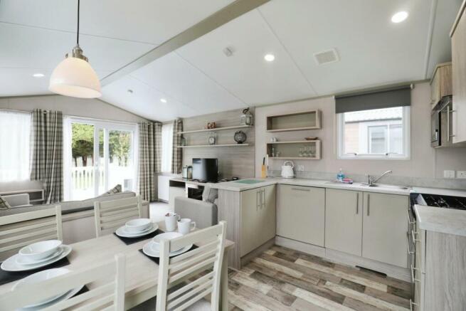
2 Bed Detached House - Allerthorpe Golf & Country Park, Allerthorpe
£80,000
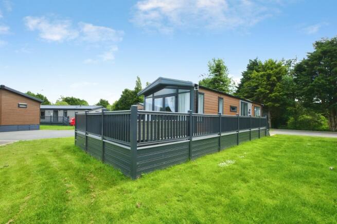
Browse by type
Stay in Allerthorpe
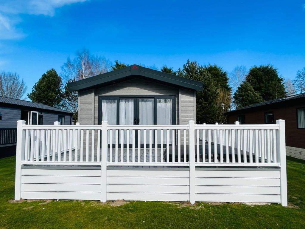
Honey Bee Lodge With Hot Tub
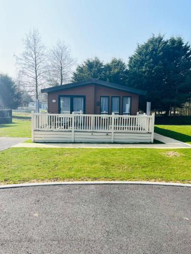
Hawthorne Villa with Hot Tub
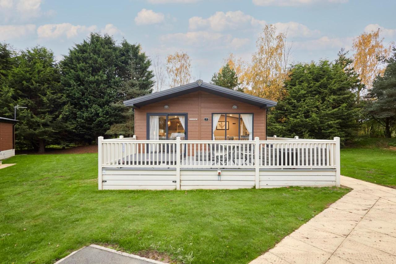
Gleneagles Lodge with Hot Tub
Accommodation in Allerthorpe
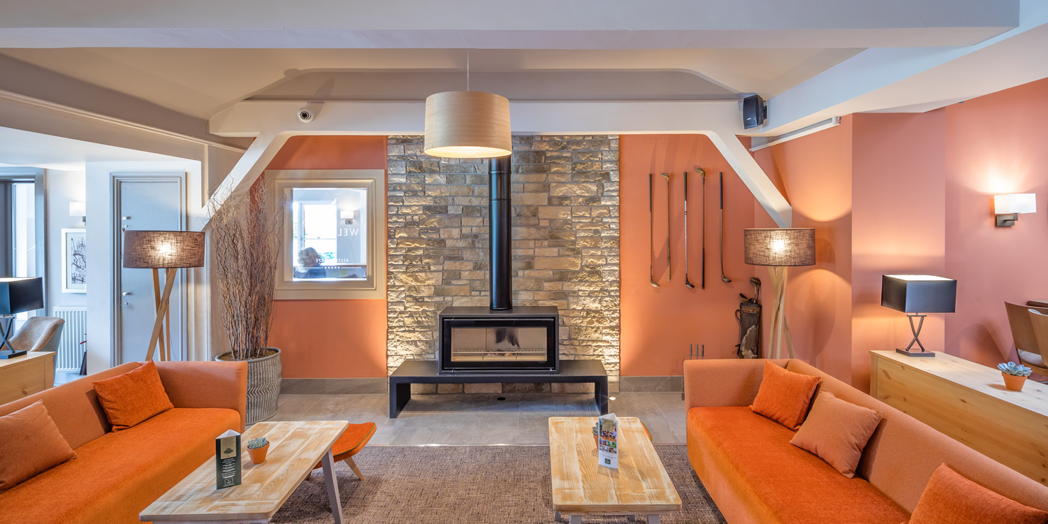
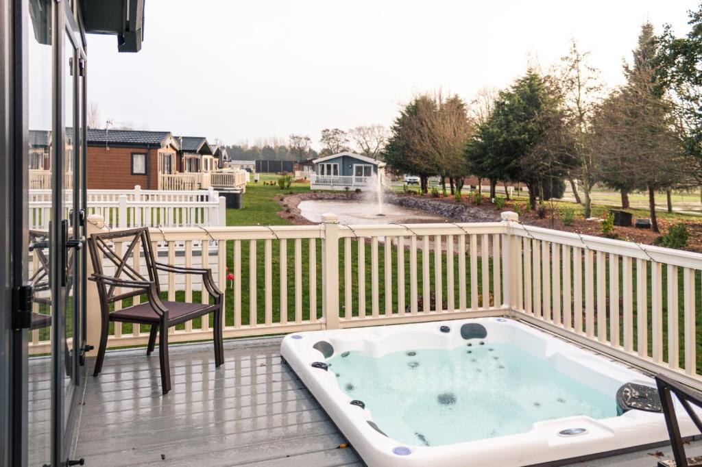
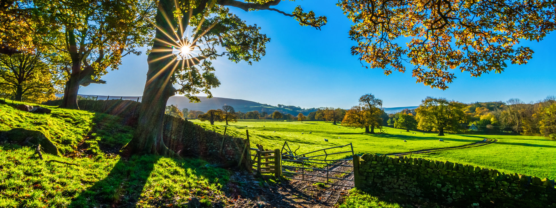
Allerthorpe Golf & Holiday Park Retreat
Allerthorpe Golf & Holiday Park Retreat offers convenient parking for visitors enjoying a relaxing getaway in the picturesque village of Allerthorpe. Located on Waplington Lane, this facility provides easy access to the park's amenities and is ideal for guests staying at the retreat. Whether you're here for a round of golf or a peaceful holiday, parking is straightforward and accessible.
Browse by Type
Things to Do in Allerthorpe
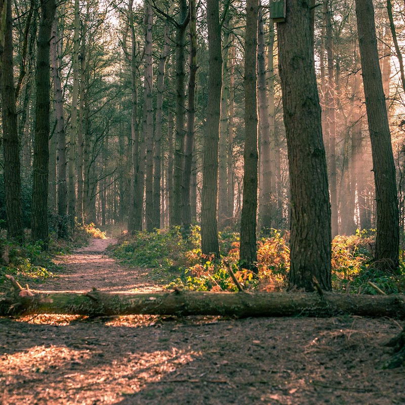
Allerthorpe Woods
Allerthorpe Woods offers a serene woodland escape near York, perfect for nature enthusiasts looking to explore diverse walking routes. The parking facility, likely a pay-and-display type, provides convenient access to this picturesque area, where visitors can enjoy seasonal changes and natural beauty.
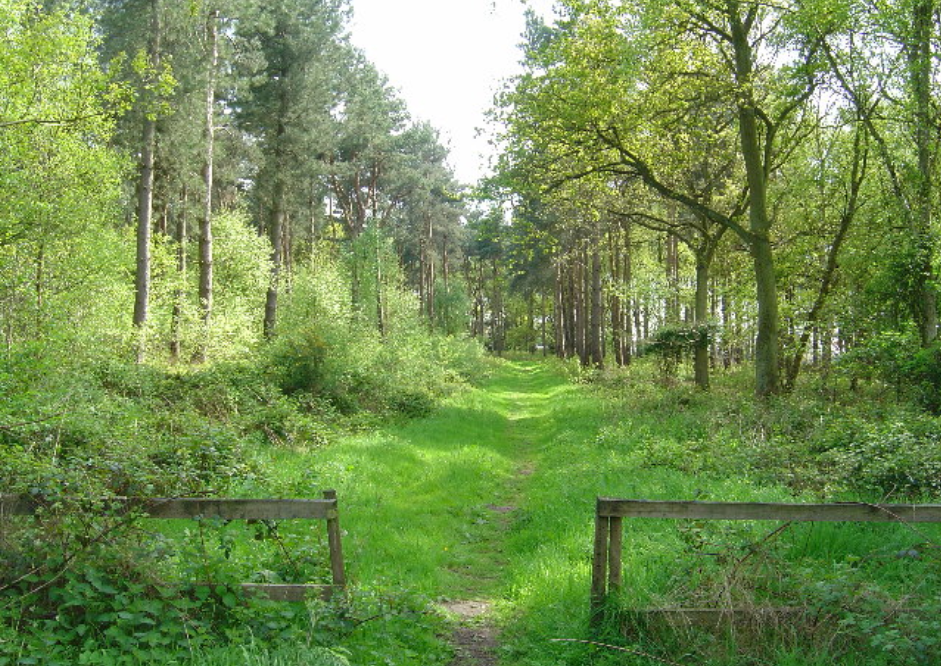
Allerthorpe Common Nature Reserve
Allerthorpe Common Nature Reserve offers a serene escape for nature lovers and dog walkers alike. Located in the picturesque village of Allerthorpe, this expansive 22-acre park provides free parking and is perfect for leisurely walks along its firm tracks and trails. Visitors can enjoy the natural beauty and tranquility, though it's advisable to bring your own map as signage is limited.

Allerthorpe Lakeland Park
Allerthorpe Lakeland Park offers a delightful escape for families and adventure enthusiasts in the picturesque setting of Pocklington, York. The park features a variety of outdoor activities, a charming lakeside view with ducks and swans, and a modern lodge for a comfortable stay. Visitors can enjoy the on-site cafe and pub, making it a perfect spot for a day out in nature.
Food & Drink
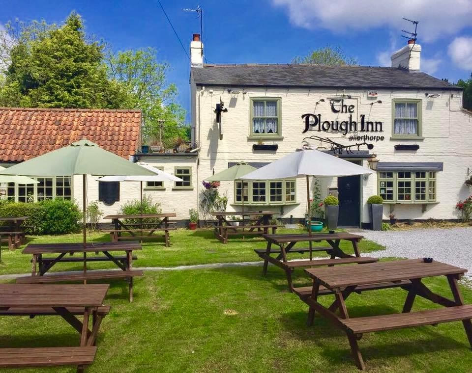
Allerthorpe Lakeland Park
Allerthorpe Lakeland Park offers a delightful escape for families and adventure enthusiasts in the picturesque setting of Pocklington, York. The park features a variety of outdoor activities, a charming lakeside view with ducks and swans, and a modern lodge for a comfortable stay. Visitors can enjoy the on-site cafe and pub, making it a perfect spot for a day out in nature.
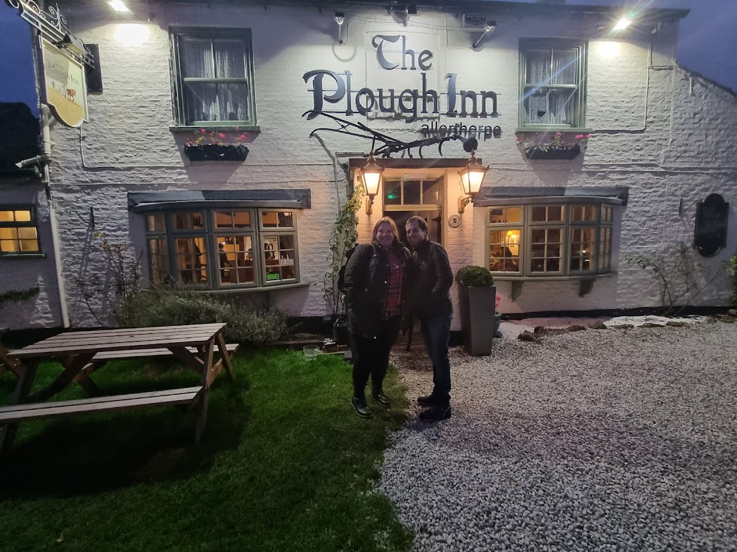
The Plough Inn
The Plough Inn, located in the charming village of Allerthorpe near Pocklington, offers a delightful pub experience with its exceptional food and warm hospitality. While primarily a dining destination, visitors should be prepared for standard pay-and-display parking options in the area. Enjoy a relaxing visit with easy access to the beautiful Yorkshire countryside.

Interactive Map
View accommodation, attractions, restaurants, and events on the map
Geographic Facts
This village is geographically within the following regions:
- Population
- 230
- Postcode
- YO42
- Administrative area
- East Riding of Yorkshire
- Dialing code
- 01759
Data sourced from Wikidata and verified public records
Upcoming Events in Allerthorpe
View All Events in Allerthorpe →No events found for Allerthorpe yet.
No events found for this period. Check back soon!
View all events in AllerthorpeLatest news from Allerthorpe
All Local News →
Goole & Howdenshire Business Excellence Awards – Winners: The Complete List of 2026 Honorees
The Goole & Howdenshire Business Excellence Awards 2026 was a huge celebration. See the full list of winners from the record-breaking ceremony in Yorkshire.
Walkshire in Allerthorpe
More Walks in Allerthorpe →
Walk: Allerthorpe Common and Waplington
Situated near Barmby Moor, East Riding of Yorkshire, this 5 mile circular walk around Allerthorpe Common and Woods makes for a perfect 5 mile walk. The Route what3words reference: ///denser.dabbled.grapevine Start / Finish Point: Allerthorpe Woods Car Park, Common Ln, Barmby Moor, York YO42 4DB Distance: 5 Miles GPX Route Map allerthorpecommonandwaplingtonDownload Walk Description Begin your journey at the Forestry Commission parking area on Common Lane, located on the western side of the woods. When approaching from York on the A1079, heading east, make a right onto Sutton Lane before reaching Pocklington. After approximately a mile, turn left onto Common Lane. The parking area is situated on the right, half a mile down the lane. To commence your walk, cross the street from the parking area and enter the common through the gate. You'll encounter two pathways; for this particular route, opt for the left fork. This route first takes you along a broad trail which then narrows into a woodland path, leading you through lush greenery for about a mile. Exiting the woodland, you'll find yourself walking along a track with a vast open green field to your right. This path leads directly into the quaint village of Allerthorpe, marking the midpoint of your journey. After a refreshing stop, continue your adventure by heading straight from the pub's front door and proceed down the road for a few hundred meters to the village's edge. There, turn right off the road onto a track, where you'll experience a blend of urban and woodland environments. Finally, at the field's end, a gate straight ahead will lead you back into the woods. Follow the path as it veers left after the gate, winding through the natural forest and returning you to your starting point at the car park. Why not finish up with refreshments at the Boot & Slipper in Barmby Moor.

Walk: Melbourne Circular
A scenic 4 mile walk from Melbourne, East Yorkshire, taking in some of the Pocklington Canal, and you can enjoy a boat trip at the beginning or end. The Route what3words for start point: ///seeing.rash.polygraph Start / Finish Point: Main St, Melbourne, York YO42 4QJ Distance: 4.2 Miles GPX Route Map melbournecircularDownload Walk Description Follow this 4-mile circular route which starts from the pretty village of Melbourne and takes in a short section of the Pocklington Canal. You’ll walk beside Melbourne Arm moorings with its brightly coloured canal boats and along the banks of this important canal for wildlife. On Sundays during the summer months, the Pocklington Canal Amenity Society volunteers run 20-minute-long trips aboard the New Horizons canal boat. You don’t need to book, just turn up.

Walk: Pocklington Canal
A beautiful example of a rural canal. An easy stroll by the water to imagine a slower pace of life in Victorian Yorkshire whilst marvelling at the stunning waterside views. Make sure you take a camera!! The Route what3words for start point: ///contents.direction.quoted Start Point: Pocklington Finish Point: East Cottingwith Distance: 9 Miles GPX Route Map pocklington-canalDownload Walk Description Follow the Pocklington canal on this flat 9 mile route to East Cottingwith. You'll get a real sense of how the canal was used in Victorian times as there are many repurposed building to spot as well as the beautiful boats using the space today. As with most canals there is an abundance of wildlife to see on the route. Watch out for the elusive kingfisher darting around the water as well as swans, ducks and geese. Ideal for the family if you're helping the younger members of the family with that school history project.

Walk: The Chalkland Way
The Chalkland Way is a scenic circular walk that takes you through the picturesque landscapes of the Yorkshire Wolds. Stretching approximately 40 miles, this route offers walkers a chance to explore the region's rolling chalk hills, peaceful valleys, and charming villages. Whether you're seeking a leisurely stroll or a more challenging adventure, the Chalkland Way promises a rewarding journey through one of England's most tranquil and unspoiled areas. The Route what3words for start point: ///tolerable.innovator.moss Start Point: Pocklington Finish Point: Pocklington Distance: 40 Miles GPX Route Map chalklandwayDownload Walk Description The Chalkland Way is a picturesque circular walking route that spans approximately 40 miles through the serene landscapes of the Yorkshire Wolds. This delightful route was devised by the East Yorkshire Area of the Ramblers Association and provides walkers with a varied experience. Starting from the historic market town of Pocklington, the Chalkland Way begins its journey through the charming countryside, initially heading towards the village of Millington. This section of the walk introduces you to the classic chalk landscapes that characterize the Wolds, with gently rolling hills, open fields, and sweeping views of the surrounding areas. Millington is a quaint village, perfect for a short rest, and is known for its friendly pub, which is a great spot to enjoy some local hospitality. From Millington, the route continues through the lush valleys and secluded dales that define this area, with particularly beautiful stretches around the Millington Dale and the dry valleys of Warrendale and Nettle Dale. The path then leads you past the village of Huggate, one of the highest points in the Yorkshire Wolds, offering panoramic views that are well worth the climb. From near Huggate, the route meanders through more rolling hills and farmland, passing through the villages of Wetwang, Fimber and Burdale. These small settlements offer glimpses into rural life in the Wolds and are perfect spots to take a break and appreciate the tranquillity of the area. From here, the route heads towards the village of Thixendale, a hidden gem nestled in a deep valley. Thixendale is a particularly scenic part of the walk, surrounded by steep hills and offering a peaceful retreat in the heart of the Wolds. The final stretch of the Chalkland Way leads you back towards Pocklington, passing through the gentle slopes and open fields that make this area so distinctive. Overall, the Chalkland Way is a route that can be enjoyed by walkers of all levels, providing a perfect escape into the tranquil landscapes of the Yorkshire Wolds.