
Discover Azerley
Azerley is a village located in North Yorkshire, governed by North Yorkshire Council (formerly Harrogate). It has a population of 389 residents and falls within the HG4 postcode area. Known for its rural setting, Azerley provides a glimpse into traditional village life and serves as a peaceful community in the region.
Explore the map below to discover accommodation, attractions, restaurants, and live events across Azerley. Scroll down to browse featured listings and plan your perfect visit.
Property in Azerley
Property in Azerley will appear here once listings are ingested.
Stay in Azerley
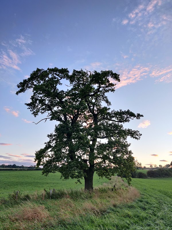
Gold Coin Farm Campsite
Gold Coin Farm Campsite in Azerley offers a serene countryside getaway with stunning views over the fields. Ideal for nature lovers, the campsite provides access to excellent local walks and a peaceful environment, making it a perfect spot for relaxation and exploration in the heart of Yorkshire.
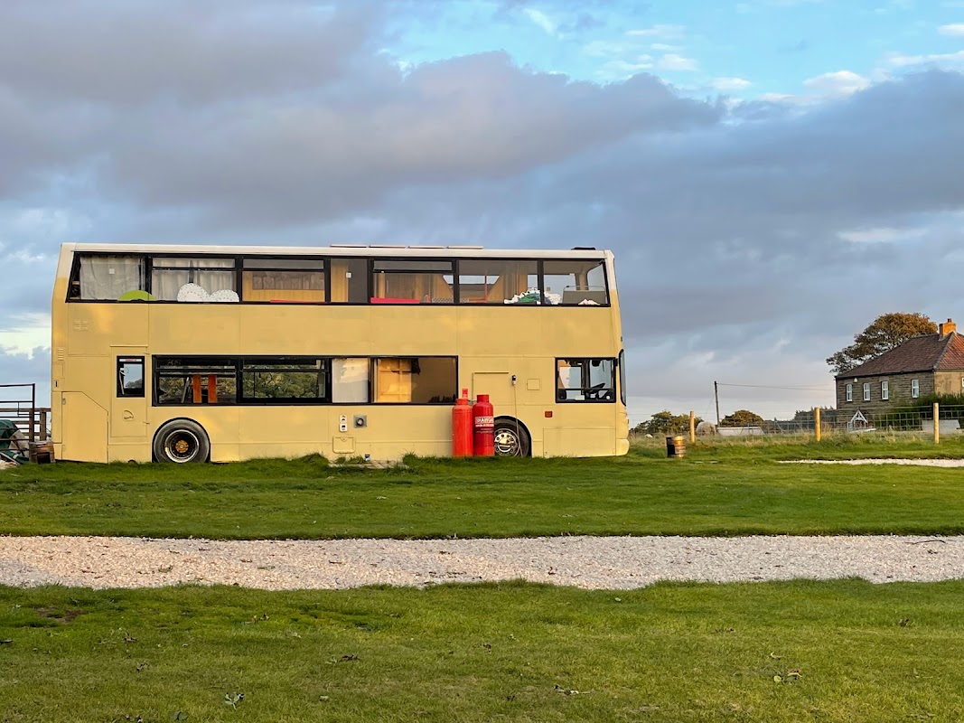
Ivy Bank Stay-cation
Ivy Bank Stay-cation offers a charming countryside retreat in Laverton, North Yorkshire, perfect for those looking to explore the scenic beauty of the region. With its unique glamping accommodations and proximity to local attractions like Ripon and Knaresborough, it's an ideal spot for families and groups. Enjoy the convenience of on-site parking with easy access to nearby amenities.
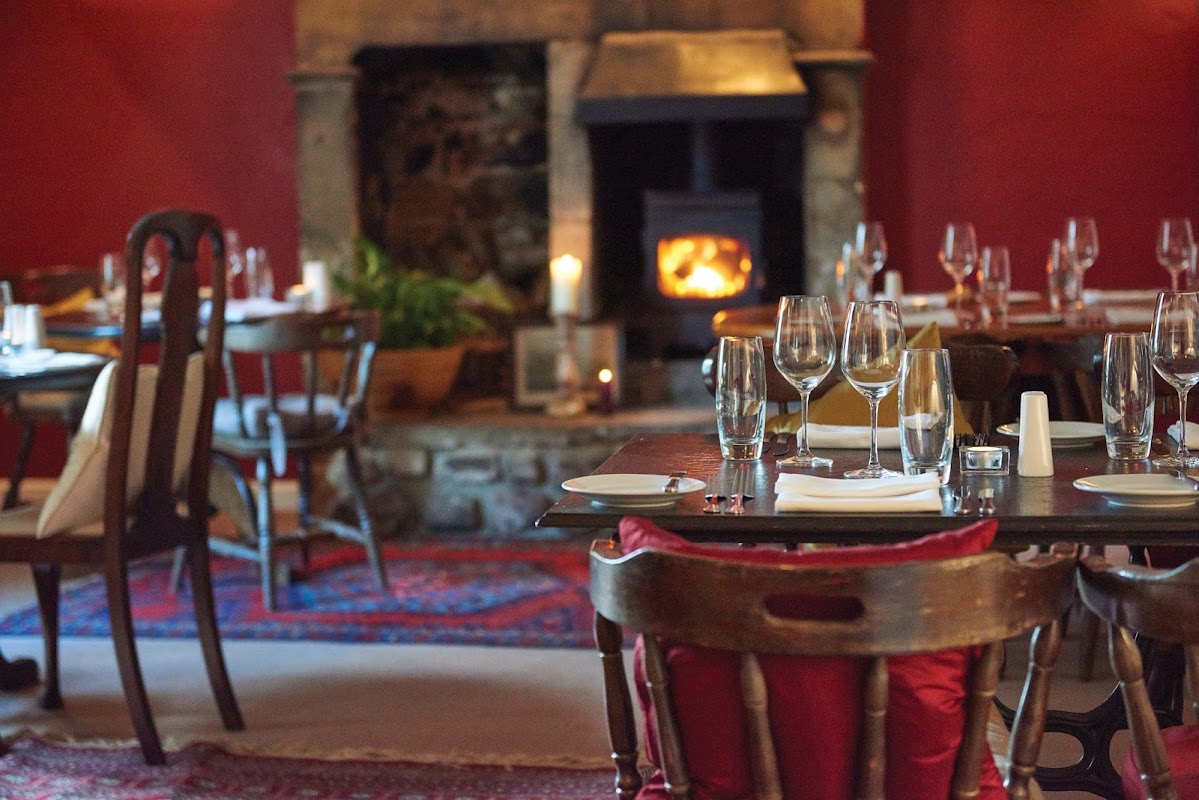
The Bruce Arms
Located in the picturesque village of West Tanfield, The Bruce Arms offers a delightful dining experience with its traditional pub ambiance and exquisite menu. While the establishment itself does not provide specific parking details, visitors can typically find pay-and-display parking options nearby, ensuring convenient access to this charming venue.
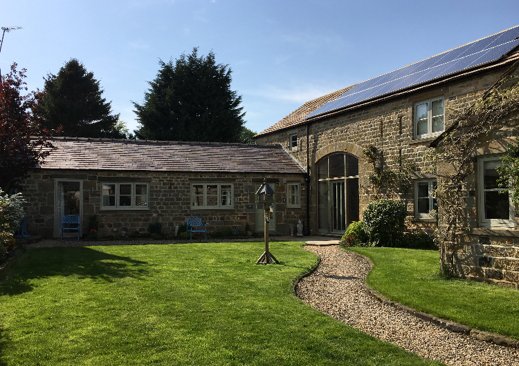
Cowscot Cottage
Cowscot Cottage offers a charming and peaceful lodging experience in the picturesque village of Kirkby Malzeard. While specific parking details are not provided, visitors can expect standard pay-and-display options typical of the area. Enjoy a comfortable stay with delightful amenities and a welcoming atmosphere.
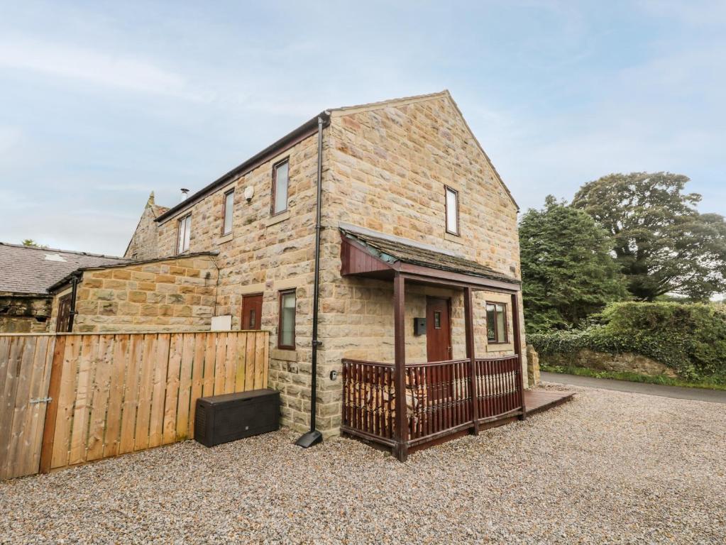
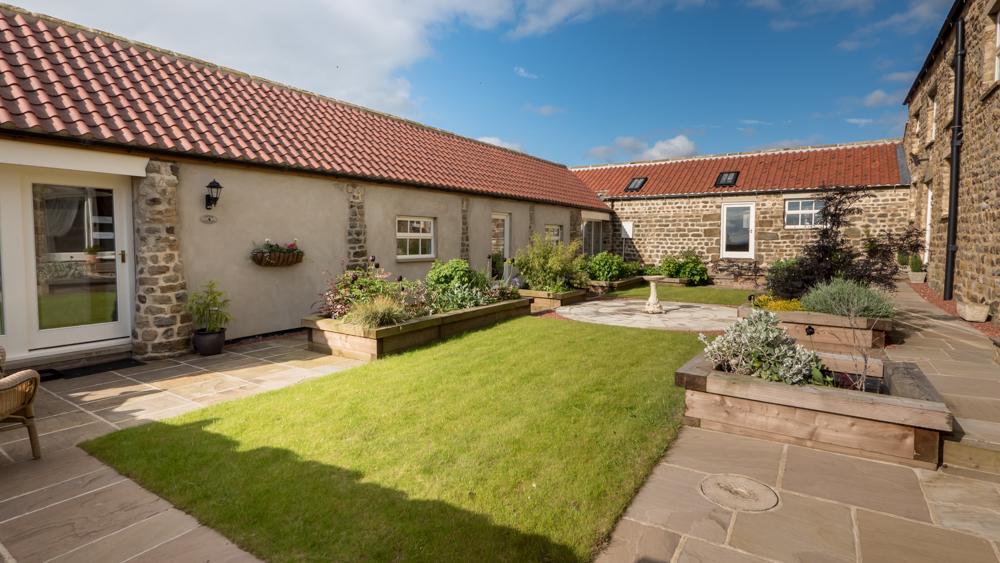
Holme Grange Farm
Holme Grange Farm offers a serene parking experience in the picturesque village of Galphay, near Ripon. Ideal for guests staying at the farm's charming accommodations, this parking facility provides a hassle-free start to your countryside retreat. Enjoy the tranquility of rural Yorkshire with convenient access to local attractions.
Browse by Type
Things to Do in Azerley
Gold Coin Farm Campsite
Gold Coin Farm Campsite in Azerley offers a serene countryside getaway with stunning views over the fields. Ideal for nature lovers, the campsite provides access to excellent local walks and a peaceful environment, making it a perfect spot for relaxation and exploration in the heart of Yorkshire.
Ivy Bank Stay-cation
Ivy Bank Stay-cation offers a charming countryside retreat in Laverton, North Yorkshire, perfect for those looking to explore the scenic beauty of the region. With its unique glamping accommodations and proximity to local attractions like Ripon and Knaresborough, it's an ideal spot for families and groups. Enjoy the convenience of on-site parking with easy access to nearby amenities.

Rooted in Pilates
Rooted in Pilates offers dedicated Pilates instruction in Ripon, fostering strength, flexibility, and well-being for all levels.
Food & Drink
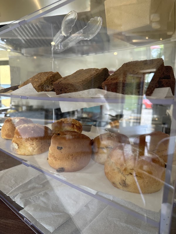
Wok Inn Ivy bank
Located in the charming village of Kirkby Malzeard, Wok Inn Ivy Bank offers convenient pay-and-display parking for visitors. Enjoy the delightful onsite café, which serves a variety of local produce and is open to the public. The friendly atmosphere and beautiful views make it a perfect stop for tourists exploring the Ripon area.
The Bruce Arms
Located in the picturesque village of West Tanfield, The Bruce Arms offers a delightful dining experience with its traditional pub ambiance and exquisite menu. While the establishment itself does not provide specific parking details, visitors can typically find pay-and-display parking options nearby, ensuring convenient access to this charming venue.
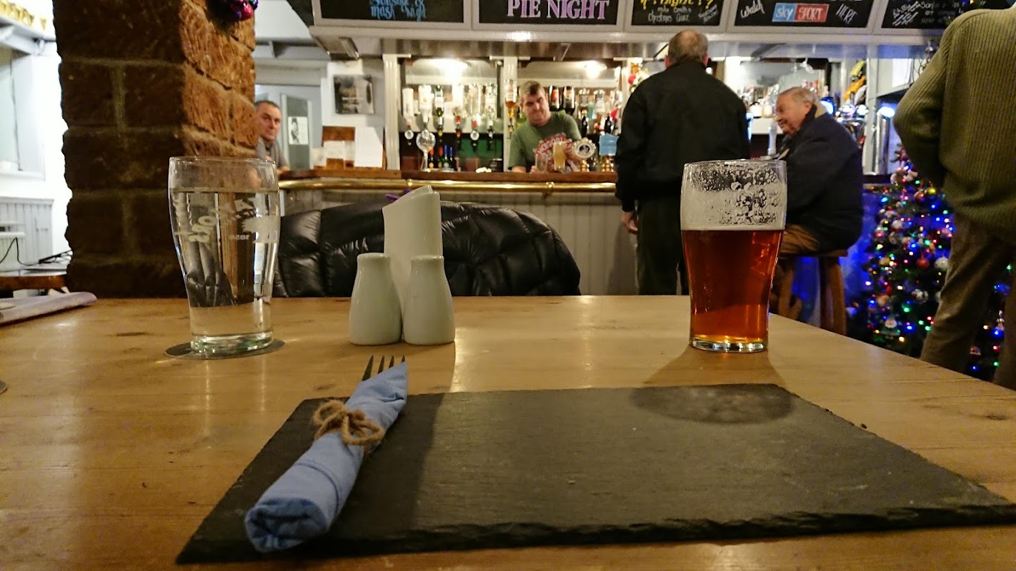
Queens Head
Located in the charming village of Kirkby Malzeard, Queens Head offers convenient pay-and-display parking for visitors. Enjoy a delightful meal or drink at this local pub, known for its friendly atmosphere and delicious roast dinners.
Browse by Type

Interactive Map
View accommodation, attractions, restaurants, and events on the map
Geographic Facts
This village is geographically within the following regions:
- Population
- 389
- Postcode
- HG4
- Administrative area
- North Yorkshire
Data sourced from Wikidata and verified public records
Upcoming Events in Azerley
View All Events in Azerley →


Browse by Type
Latest news from Azerley
All Local News →
From Local Farm to National Shelves: How a North Yorkshire Rapeseed Oil Business Wins Listing with Garden Centre Chain
A North Yorkshire farm business, Charlie & Ivy's, has landed a major nationwide listing! Find their award-winning rapeseed oil bread dippers in Dobbies now.
Walkshire in Azerley
More Walks in Azerley →
Walk: Grewelthorpe and Hackfall
Grewelthorpe, the River Ure, the ancient woodland and follies of Hackfall. The Route What3Words for start point: ///unwind.bootleg.different Start / Finish Point: Grewelthorpe, Ripon HG4 3BW Distance: 4 Miles GPX Route Map grewelthorpe-and-hackfallDownload Walk Description Hackfall Woods lies just outside the village of Grewelthorpe, an expansive area of semi-natural ancient woodland that cloaks the steep banks of the River Ure. Hackfall Woods was bought by John Aislabie in 1731, who most famously laid out the formal water gardens of Studley Royal at nearby Fountains Abbey. His son William transformed Hackfall into a romantic ‘wilderness’ garden with trees, walkways, waterfalls, surprise views and follies, all set on the dramatic slopes above the River Ure. Hackfall Woods has provided inspiration for many of our great artistic minds, including Turner who came here to paint whilst William Wordsworth recommended a visit to the woods en route to the Lake District – Wedgwood even used Hackfall Wood scenes for a dinner service for Catherine II of Russia! It had been neglected for many years and looked destined for ‘redevelopment’ when The Woodland Trust stepped in and bought Hackfall in the late 1980s and has since restored the garden; it now has Grade 1 listed status. Our route from Grewelthorpe heads across farmland and then follows a muddy path that meanders gently down through the woods to join the banks of the River Ure, with thick woodland and tumbling streams all around. The highlight is the path that heads up across the top of the wooded banks to the Ruin at Mowbray Point, which was built in 1767 by William Aislabie as a banqueting house. Its eastern facade was designed to look like a ruined triumphal archway, with magnificent views right across the Vale of Mowbray towards the North York Moors as well as Hackfall Woods beneath your feet and the folly of Mowbray Castle clearly visible in the woods. The Ruin has been restored and is used as a holiday cottage. The path then heads into the steep-sided side-valley of Grewelthorpe Beck, with its series of small waterfalls and weirs.

Walk: Hackfall Woods - Short Route
A blast of woodland in this simple walk through Hackfall Woods. The Route Start / Finish Point: Lay-by on Nutwith Ln, Ripon HG4 3DF Distance: 2 Miles GPX Route Map walkshirehackfallwoodsDownload Walk Description From the layby, keep the wood to the right of you, and walk towards the Public Footpath sign pointing into the wood. Turn right and follow the path into the woods. When the public footpath turns right over a bridge, continue to carry straight on. Follow the clear path until there’s a fork. Take the left hand turn and continue to follow the path as it drops fairly sharply. Cross over two streams and turn right, then right again to the Weeping Rock. Continue along the path, with the river not too far away on the left. This is now part of the Ripon Rowel Walk. The path bends around to the left, and soon there’s a large path branching off to the right. Take this path as it climbs back up, turning right as it bends round and follow it all the way to where the path’s forked, after crossing a stream. Turn left and retrace your footsteps back to the entrance of the wood, and then turn left to return to where you parked.