Bainton
village

Discover Bainton

Bainton is a village located in the East Riding of Yorkshire, governed by East Riding of Yorkshire Council. With a population of 334, it falls under the YO25 postcode. The village is known for its rural landscape and proximity to the Yorkshire Wolds, making it significant for outdoor enthusiasts.

Explore the map below to discover accommodation, attractions, restaurants, and live events across Bainton. Scroll down to browse featured listings and plan your perfect visit.

Stay in Bainton

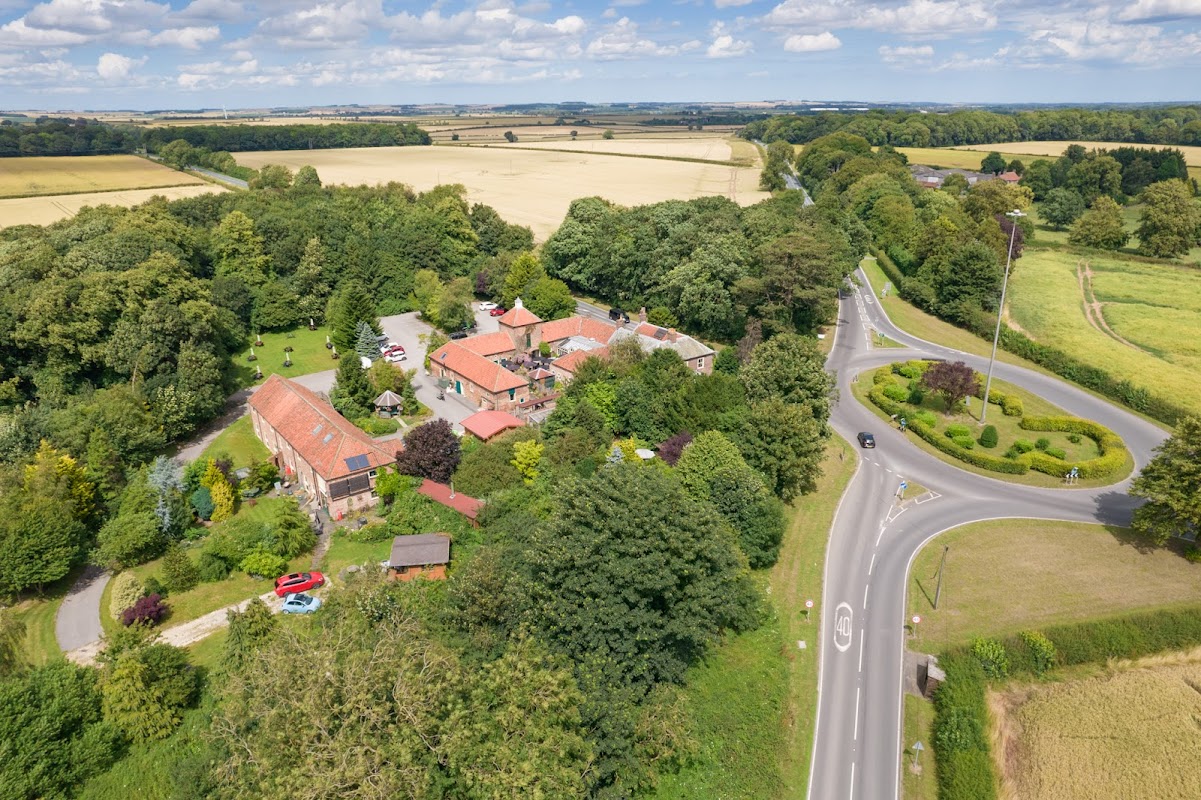
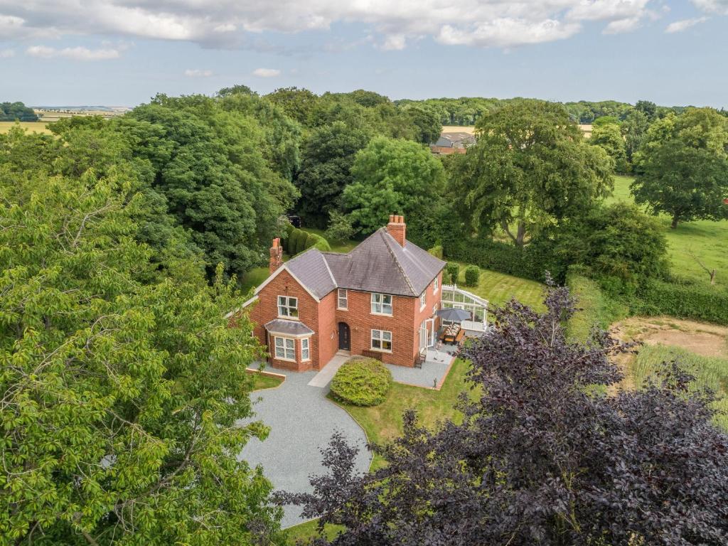
Aerial view of Wolds Village hotel surrounded by greenery, fields, and a circular road in Bainton, Yorkshire.
Guest House

Wolds Village

Manor Farm, Bainton, Driffield YO25 9EF, UK
πŸ“0.6m from the centre of Bainton

Wolds Village provides comfortable accommodation in bainton.

Accommodation at Routhorpe House in bainton
Hotel
From
Β£1792
per night

Routhorpe House

Bainton, YO25 9EF, United Kingdom
πŸ“0.1m from the centre of Bainton

Accommodation at Wolds Village Luxury Guest Accommodation in bainton
Hotel

Wolds Village Luxury Guest Accommodation

Manor Farm, Bainton, YO25 9EF, United Kingdom
πŸ“0.1m from the centre of Bainton

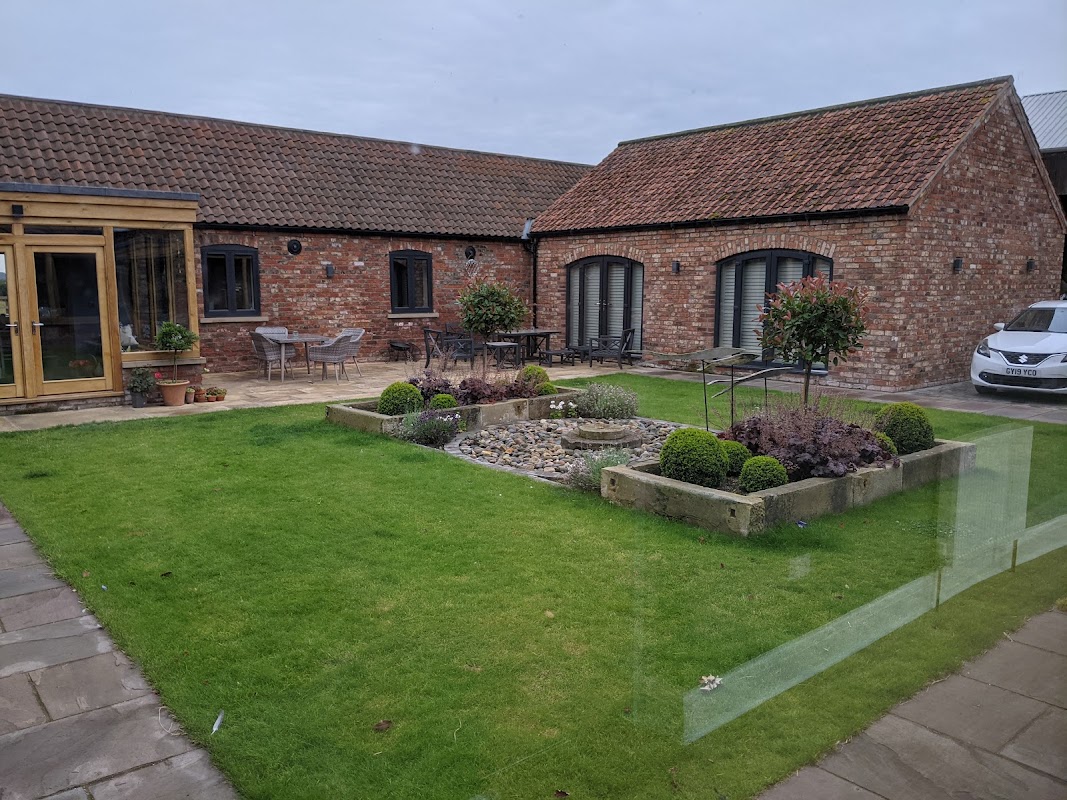
Charming hotel courtyard with landscaped garden, stone pathways, and modern seating areas.
Bed & Breakfast

The Granary

The Granary, 7 Beverley Rd, Middleton-on-the-Wolds, Driffield YO25 9UF, UK
πŸ“2m from the centre of Bainton

The Granary provides comfortable accommodation in middleton-on-the-wolds.

Brick cottages line a gravel path, with benches and greenery in a tranquil rural setting in North Dalton, Yorkshire.
Hotel

North Dalton Manor Holiday Cottages

B1246, North Dalton, Cottages YO25 9UX, UK
πŸ“1.8m from the centre of Bainton

North Dalton Manor Holiday Cottages provides comfortable accommodation in north-dalton.

Things to Do in Bainton

Wolds Village - Museum in bainton
Museum

Wolds Village

The Roundabout, Bainton, Driffield, East Riding Of Yorkshire, YO25 9EF
πŸ“0.6m from the centre of Bainton

Vibrant orange and yellow tulips bloom amidst lush green grass at Kilnwick Park.
Park

Kilnwick Park

3 Church Ln, Driffield YO25 9JW, UK
πŸ“2.6m from the centre of Bainton

Kilnwick Park offers a delightful escape into nature with its well-maintained grounds and a variety of activities for children of all ages. Located in Driffield, this park is perfect for picnics and woodland walks, and it provides free parking for visitors who prefer to drive. Enjoy the serene environment and explore the fascinating equipment designed for both kids and adults.

Browse by Type

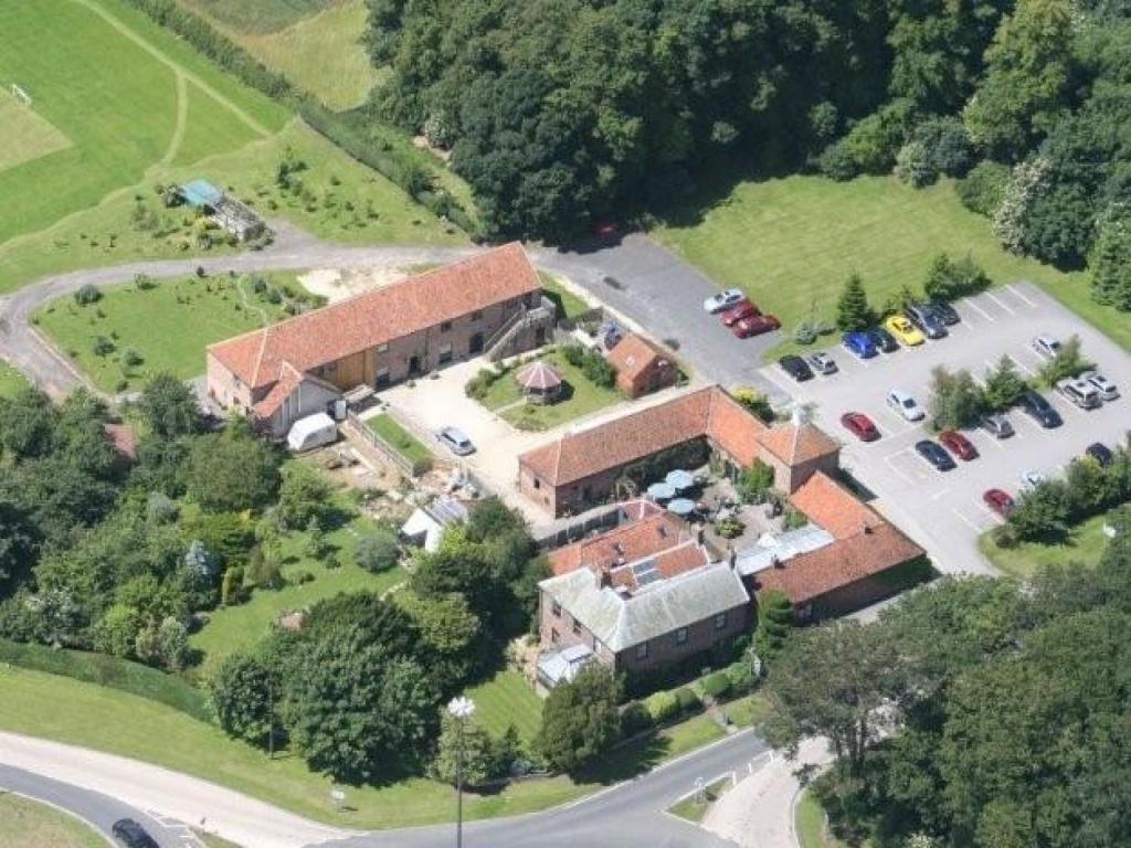
Aerial view of Wolds Village hotel surrounded by greenery, fields, and a circular road in Bainton, Yorkshire.
Guest House

Wolds Village

Manor Farm, Bainton, Driffield YO25 9EF, UK
πŸ“0.6m from the centre of Bainton

Wolds Village in Bainton offers a delightful Georgian getaway with upscale rooms and a complimentary breakfast. Visitors can enjoy the on-site restaurant and art gallery, making it a perfect stop for art enthusiasts and food lovers. Conveniently, the parking is free, adding to the ease of your visit.
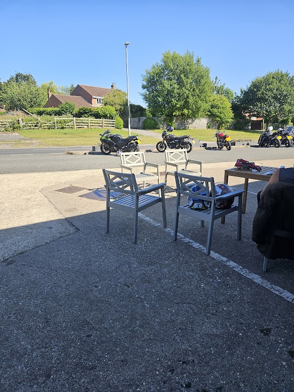
View from a grocer's patio with empty chairs, parked motorcycles, and greenery in the background under a clear blue sky.
Cafe

Bainton Stop

Main St, Bainton, Driffield YO25 9BJ, UK
πŸ“0.1m from the centre of Bainton

Bainton Stop, located on Main St in Bainton, Driffield, offers a cozy spot for travelers to enjoy a delightful cup of Yorkshire tea or a divine coffee. While primarily a cafe, it provides convenient parking options for those exploring the charming village of Bainton.
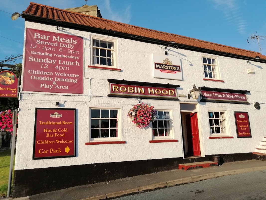
The Robin Hood Inn, a white building with red accents, featuring signs for bar meals, children's welcome, and a car park.
Pub

The Robin Hood Inn

1 Beverley Rd, Middleton-on-the-Wolds, Driffield YO25 9UF, UK
πŸ“2m from the centre of Bainton

Enjoy delicious food, from perfectly cooked steaks to fresh pizzas, and warm Yorkshire hospitality at this highly-rated pub.

Browse by Type

Map placeholder
πŸ—ΊοΈ

Interactive Map

View accommodation, attractions, restaurants, and events on the map

Geographic Facts

This village is geographically within the following regions:

Population
334
Postcode
YO25
Administrative area
East Riding of Yorkshire
Dialing code
01377

Data sourced from Wikidata and verified public records

Latest news from Bainton

All Local News β†’
Celebratory group of award winners in formal attire, holding certificates, in a modern venue with colorful banners.

Goole & Howdenshire Business Excellence Awards – Winners: The Complete List of 2026 Honorees

The Goole & Howdenshire Business Excellence Awards 2026 was a huge celebration. See the full list of winners from the record-breaking ceremony in Yorkshire.

Yorkshire TeamApr 13, 2026
0

Walkshire in Bainton

More Walks in Bainton β†’
Walk: Minster Way
Easy

Walk: Minster Way

πŸ“Beverley

The Minster Way is a scenic long-distance walking trail located in the East Riding of Yorkshire, England. Spanning approximately 50 miles (80 kilometers), the trail connects the historic towns of Beverley and York, two of the region's most notable ecclesiastical centers. The route is named after the grand Minsters found in these townsβ€”Beverley Minster and York Minsterβ€”both of which are renowned for their stunning architecture and rich history. As you journey along the Minster Way, you'll encounter a variety of landscapes, from the gentle slopes of the Yorkshire Wolds to the flat plains surrounding the River Derwent. The route also offers cultural and historical points of interest, including ancient churches, traditional farms, and remnants of medieval settlements. Route What3Words: ///names.profile.reclining Distance: 50 miles Start location: Beverley Finish Location: York OS Walking Map & GPX Download Our OS map below shows the full route. Under the map, you can find a GPX file download for your navigational device. minster-way-routeDownload Walk Description Beverley The walk begins at Beverley Minster, an impressive Gothic church and one of the largest parish churches in the UK. New Arram A small hamlet situated northeast of Beverley. The route passes through this quiet, rural area, surrounded by farmlands. Scorborough Another small hamlet, known for its proximity to the River Hull. The area is largely agricultural, with open fields and traditional Yorkshire countryside. Thorpe A tiny settlement that leads directly into Lockington, a larger village known for its historic All Saints' Church, which has origins dating back to the 13th century. Kilnwick A picturesque village with traditional stone cottages. Nearby, Cawkeld is a small, secluded hamlet, offering scenic views of the surrounding countryside. Bainton A historic village notable for its Norman church, St Andrew's, which has unique architecture including a rare round tower. The village lies on the edge of the Yorkshire Wolds. North Dalton This charming village is set in the heart of the Yorkshire Wolds. It features the striking All Saints' Church, which dates back to the 12th century, and offers peaceful, rural surroundings. Millington A delightful village situated within the Yorkshire Wolds, known for its scenic walks, especially around Millington Woods and the nearby chalk valleys. The village church, St Margaret's, adds to its charm. Great Givendale A secluded hamlet, tucked away in the Wolds, with the small and picturesque St Ethelburga's Church. The area is known for its tranquil atmosphere and beautiful landscapes. Bishop Wilton A lovely village nestled at the foot of the Wolds, featuring a village green and the historic church of St Edith. It’s a perfect spot for a rest, with stunning countryside views. Youlthorpe A small, quiet village that is typical of the rural East Riding of Yorkshire, offering a peaceful walk through agricultural land. Full Sutton Known primarily for its high-security prison, the village itself is surrounded by farmland and rural scenery. The route continues through these open landscapes. Stamford Bridge A historically significant village on the River Derwent, famous for the Battle of Stamford Bridge in 1066. The village has a mix of modern and traditional buildings, and the river crossing is a key feature. Low Catton A small village near Stamford Bridge, featuring St Mary's Church, a charming building with Norman origins. The surrounding area is rich in history and natural beauty. Kexby A hamlet on the eastern outskirts of York. The route here offers more rural scenery before transitioning into the suburban areas leading into York. Fulford Ings A low-lying area of flood meadows near York, along the banks of the River Ouse. The Ings are an important natural habitat, often used for grazing and offering a unique environment as you approach the city. York Minster The route concludes at York Minster, one of the largest Gothic cathedrals in Northern Europe. York itself is a city steeped in history, with the Minster as its crowning glory. The city offers a wealth of historical and cultural attractions, making it a fitting end to the Minster Way.

Plan Your Trip

Get the latest updates and offers for Bainton.

Sign Up for Newsletter