
Discover Barkisland
Barkisland is a village located in the West Yorkshire area of England. Governed by Calderdale Council, it is part of a region known for its rich industrial heritage. The village's landscape is characterized by rolling hills and traditional stone buildings, offering insight into its historical significance in textile production.
Explore the map below to discover accommodation, attractions, restaurants, and live events across Barkisland. Scroll down to browse featured listings and plan your perfect visit.
Property in Barkisland
Property in Barkisland will appear here once listings are ingested.
Stay in Barkisland
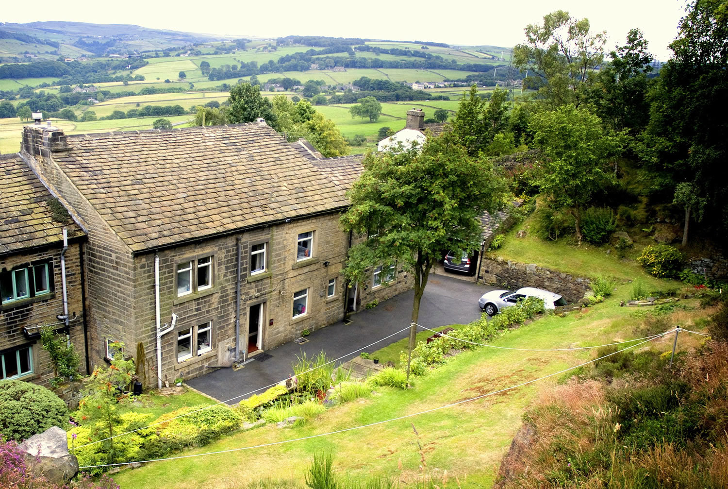


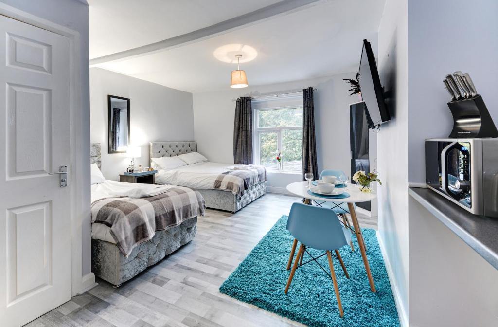
Grey Stone Studio Apartments
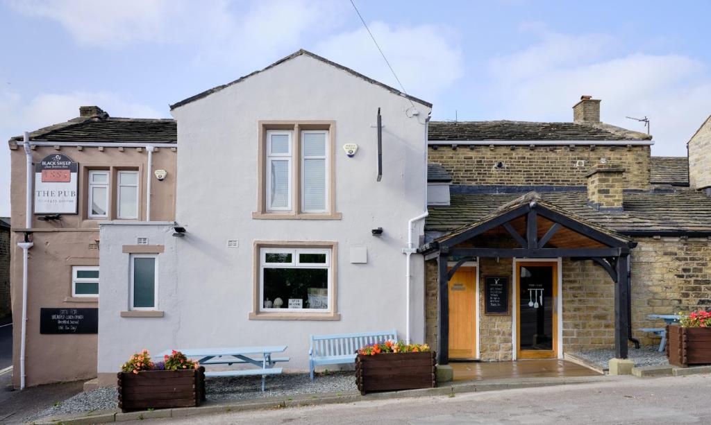
1885 the Venue - Pub, Restaurant, Rooms & Function House
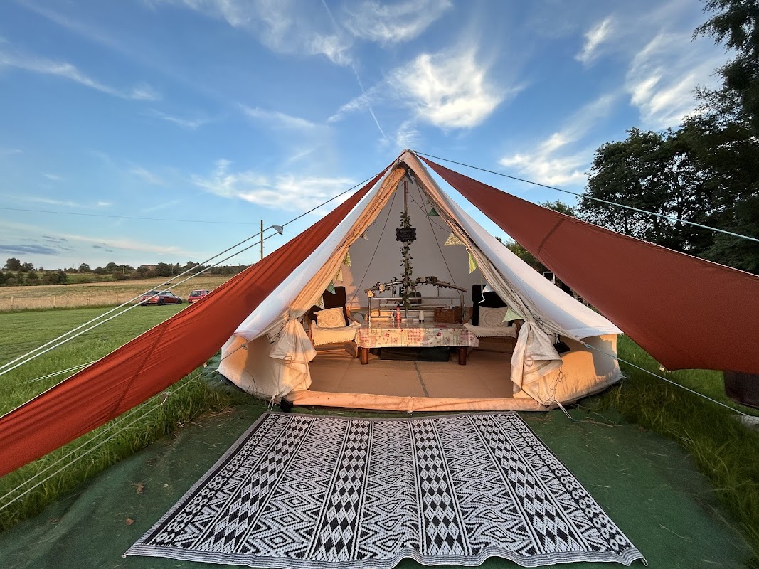
Hob Hey Hideaways
Discover Hob Hey Hideaways, offering peaceful glamping in unique huts with stunning Yorkshire countryside views.
Things to Do in Barkisland
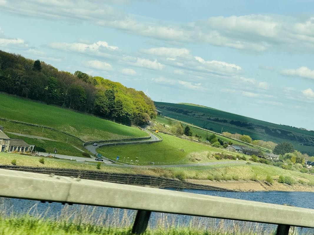
Barkisland Park
Barkisland Park offers a delightful escape in the village of Barkisland, featuring a playground with swings and a climbing frame, perfect for families. Visitors can enjoy the open space for various activities, and parking is conveniently free, making it an ideal spot for a leisurely day out.
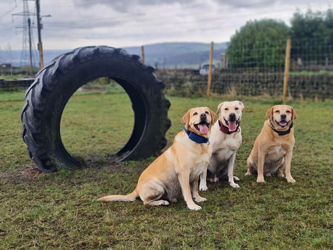
Bark-Island Dog Field
Located in the picturesque village of Barkisland, Bark-Island Dog Field offers a delightful outdoor experience for dog lovers. This well-maintained and secure field provides ample space for dogs to play, with amenities like floodlights, a sand pit, and a paddling pool. Visitors can enjoy stunning views and relax with hot drinks under cover, making it a perfect spot for both pets and their owners.
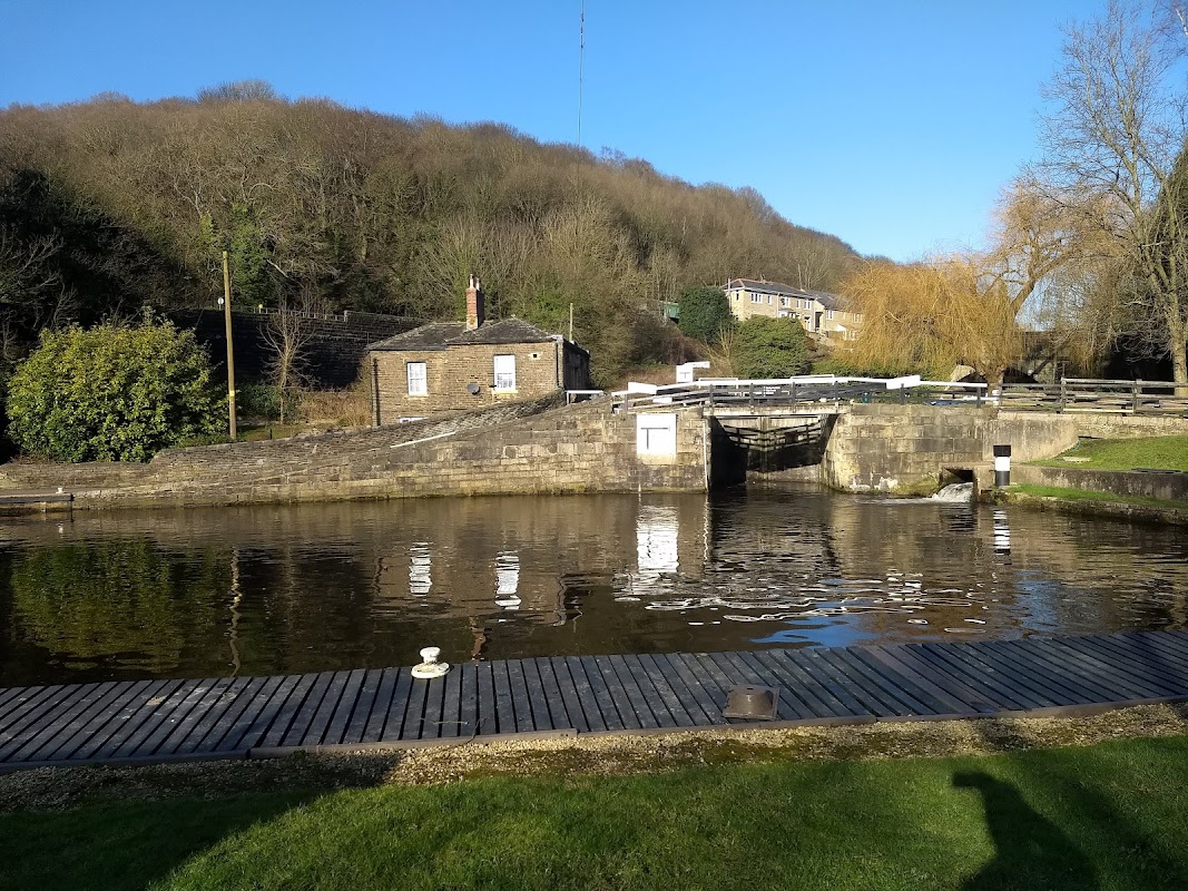
Salterhebble Top Lock
Discover the tranquil beauty of Salterhebble Top Lock, a historic canal landmark in Halifax perfect for peaceful walks and scenic views.
Food & Drink
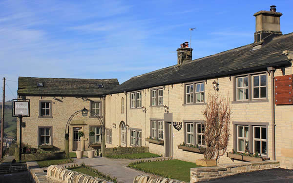

Casa Pizza
Casa Pizza in Greetland, Halifax, offers highly-rated pizzas, including delicious gluten-free options, perfect for quick takeaway or delivery.
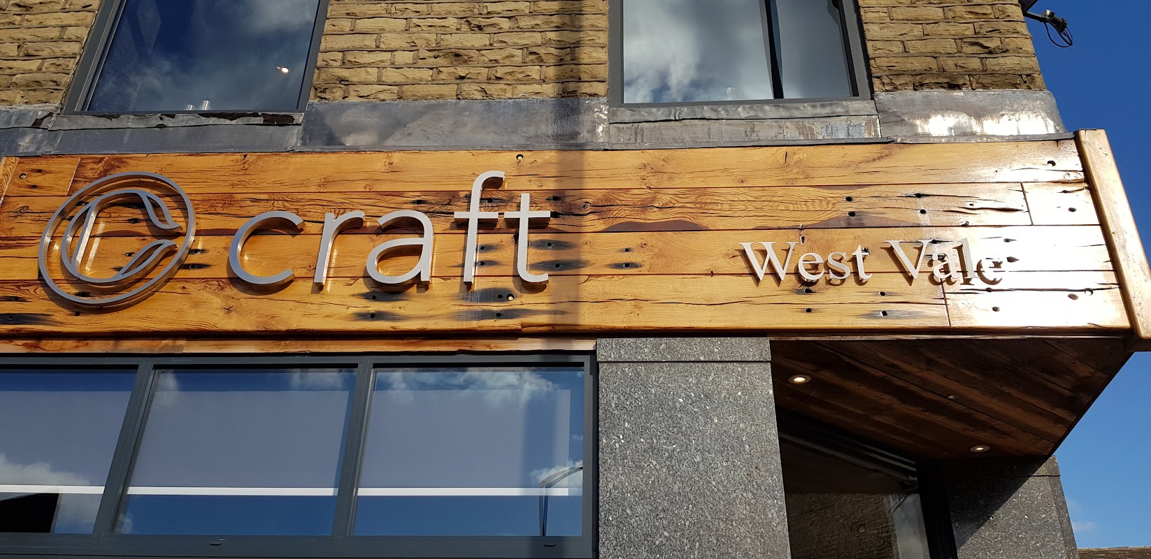
craft beer west vale
Craft Beer West Vale offers a stylish setting in Greetland, serving a diverse selection of craft ales, gins, and rums with friendly service.
Browse by Type

Interactive Map
View accommodation, attractions, restaurants, and events on the map
Geographic Facts
This village is geographically within the following regions:
- Administrative area
- Ripponden
- Dialing code
- 01422
Data sourced from Wikidata and verified public records
Upcoming Events in Barkisland
View All Events in Barkisland →


Walkshire in Barkisland
More Walks in Barkisland →
Walk: Ryburn Reservoir and Baitings Reservoir
A great walk taking in the woods and fields in the Ryburn Valley between the Ryburn and Baitings Reservoirs, just near Ripponden. The Route what3words for start point: ///shredding.grades.erupted Start / FinishPoint: Yorkshire Water Car Park, Ripponden, Sowerby Bridge HX6 4LE Distance: 4 Miles GPX Route Map walkshireryburnreservoirandbaitingsreservoirDownload Walk Description Go to the top of the car park and cross the lane towards a stile into a field. Walk through this field on a level track and head towards the next stile. Cross this stile and continue on the path which heads through the trees alongside the edge of the water and eventually over a footbridge. Just before the end of Ryburn Reservoir, you reach Beeston Hall Rocks. The path now follows the feeder stream to a junction of paths. Ignore the left turn over the bridge, and carry on out of the wood the reach the embankment of Baitings Reservoir - following the path as it turns right into a car park. Leave via the steps or, if required, carefully via the entrance gateway – but take extra care as this is also a vehicle entrance. Turn left onto the pavement and continue for a short while when you reach the entrance to the permissive footpath on your left. Take the path and walk along the north edge of Baitings Reservoir. The section provides great views across the reservoir and the surrounding countryside. At the end of the reservoir, leave the path onto a road, and turn left to walk across Baitings Viaduct. Soon after crossing, turn left onto the permissive path to continue along the southern edge of Baitings Reservoir. When you reach the embankment, turn right, and then left at the next footpath, to head back towards Ryburn Reservoir. Just after a path joins from the left, the path turns a sharp right to meet another path. Continue along the track until you reach a stile. Cross over into the field and follow the boundary fence - which becomes a wall - downhill, until you reach some gates in the corner. Follow the yellow waymarker, through the gate into an enclosed path along the side of the next field. At the farm buildings, carry on and over a stile into a section of old walled track - but not into the open field. This track turns right through a squeeze stile at the side of an iron gate. Go through the gap and turn left straight away down the slope, keeping the wall on your left. At the bottom corner of the field, go over a stile and down through the wood to a footbridge. Cross the bridge, turn left and continue alongside the reservoir towards the dam. Cross the dam wall to return to the car park.

Walk: Halifax Canal Circular Walk
Explore the historic wool town of Halifax with this amazing circular walk that takes in the canal and woodlands to the south of the town centre. The Route what3words for start point: ///lists.baked.cloud Start Point: Halifax Finish Point: Halifax Distance: 9 Miles GPX Route Map halifaxDownload Walk Description Embark on a journey from the heart of Halifax, starting near the iconic Piece Hall, just a stone's throw from the train station, where the town's rich industrial saga comes alive. Set out along the Hebble Trail to connect with the Halifax arm of the Calder and Hebble Navigation, the lifeblood of Georgian trade as the flames of the Industrial Revolution first sparked. Navigate your way along the historic canal path, heading towards the picturesque vistas of Elland and the enchanting Elland Woods, famed for their carpet of bluebells come spring. As you approach Brighouse, take a scenic detour across the river to join the Calderdale Way. Your return trip unfurls on the opposite bank, offering fresh perspectives back towards Halifax. Upon your urban re-entry, the Piece Hall awaits, inviting you to indulge in the culinary delights of its exceptional cafes, the perfect epilogue to your historical exploration.

Walk: Calder Valley Greenway - Hebden Bridge to Brighouse
This pretty, relaxed walk along Sustrans’ National Cycle Route 66 is perfect for a blustery, colourful late autumn day. The Route What3Words for start point: ///hiring.fruit.tooth Start Point: Hebden Bridge Station Finish Point: Brighouse Station Distance: 9.3 Miles GPX Route Map hebden-bridge-to-brighouseDownload Walk Description This walk follows the historic watercourses of the Rochdale canal and the Calder and Hebble Navigation, winding through characterful industrial towns and imposing hills. Tread in the steps of the former Poet Laureate Ted Hughes and Sylvia Plath, who were inspired by this dramatic landscape, with its wild moors and lush native woodlands. As well as watercourses, the route follows the train line, so you can decide where to stop, enjoy a break in one of the many cafes of Mytholmroyd, Sowerby Bridge or Brighouse, and get a train back.

Walk: Calder and Hebble Navigation Canal
Running from Brighouse to Sowerby Bridge this section this is a part river, part canal route that once served the area at the height of the industrial revolution. The Route what3words for start point: ///gravel.assets.live Start Point: Sowerby Bridge Finish Point: Brighouse Distance: 6 Miles GPX Route Map calder-and-hebble-navigation-canalDownload Walk Description This route provides a tranquil repost to the urban centres along it's route. The peaceful nature of this busy walk is it's main attraction as you are transported to a quieter time, compared the to traffic on the streets above. Starting in Sowerby Bridge the route takes you through a the town and then onto some stunning Calder Valley countryside. There is an option to head towards Halifax along the canal to their however this walk continues into Brighouse, another Yorkshire industrial town. Watch out for the various bird and wild life along the canal and make sure you bring your spotting guide!