
Discover Birdsall
Birdsall is a village located in North Yorkshire, governed by North Yorkshire Council (formerly Ryedale). With a population of 343, it falls within the YO17 postcode area. Known for its rural landscape and proximity to cultural heritage sites, Birdsall offers a glimpse into traditional English village life.
Explore the map below to discover accommodation, attractions, restaurants, and live events across Birdsall. Scroll down to browse featured listings and plan your perfect visit.
Property in Birdsall
Property in Birdsall will appear here once listings are ingested.
Stay in Birdsall
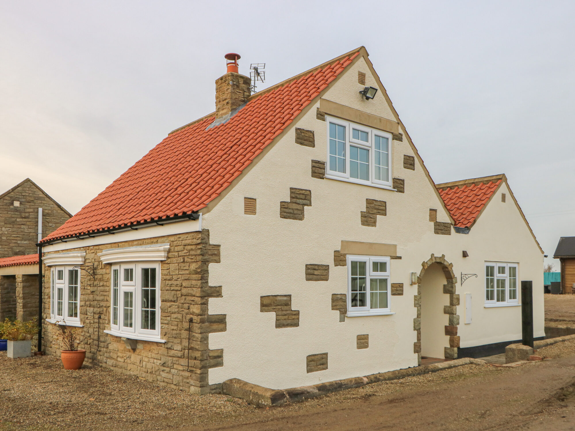
Hanging Hill Farm Cottage
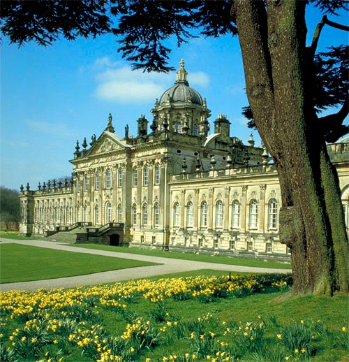
Langhill Holiday Cottages
Langhill Holiday Cottages in Burythorpe offers a serene countryside retreat, perfect for tourists seeking tranquility and a home-like atmosphere. While the parking details are not explicitly mentioned, visitors can expect standard pay-and-display options typical in rural settings. The location provides easy access to nearby tourist attractions, making it an ideal base for exploring the Yorkshire area.
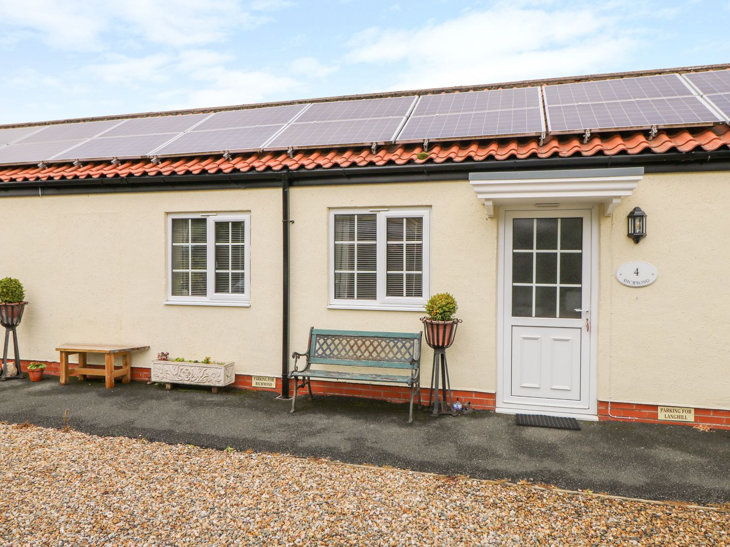
Richmond Cottage
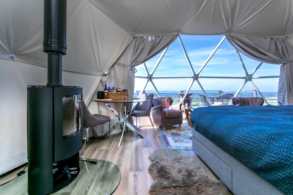
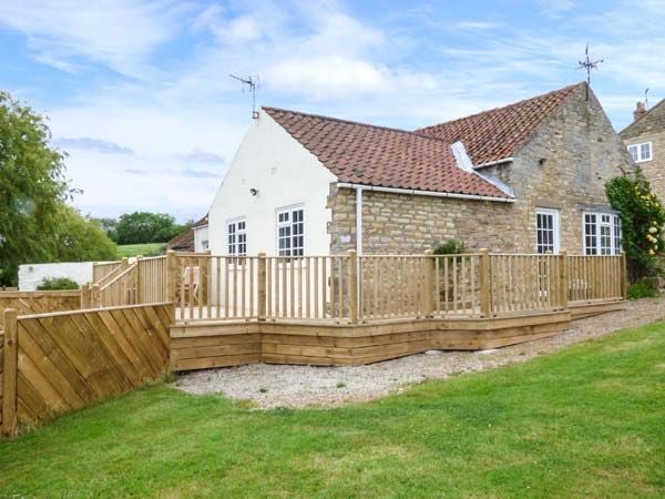
Primrose Cottage
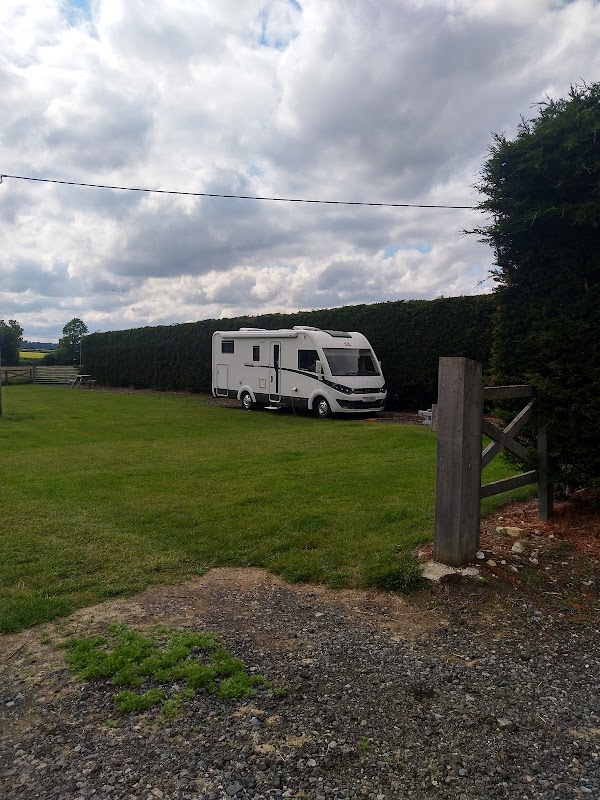
Thornthorpe Caravan and Camp Site
Thornthorpe Caravan and Camp Site in Kennythorpe offers a charming and well-maintained camping experience with essential amenities like clean showers and toilets. Located at Manor Farm, this site provides a peaceful atmosphere perfect for relaxation and is dog-friendly, making it an ideal spot for families and pet owners exploring the Malton area.
Things to Do in Birdsall

Birdsall Estates Co Ltd
Birdsall Estates Co Ltd offers parking facilities at their picturesque venue in Birdsall, North Yorkshire. Ideal for visitors attending weddings or events at the historic Birdsall House, this parking area provides convenient access to the stunning grounds and nearby attractions.
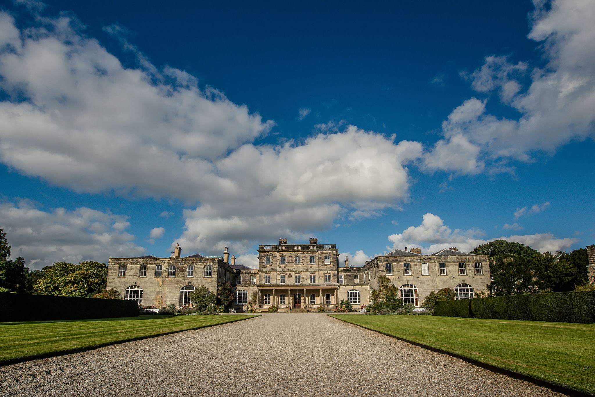
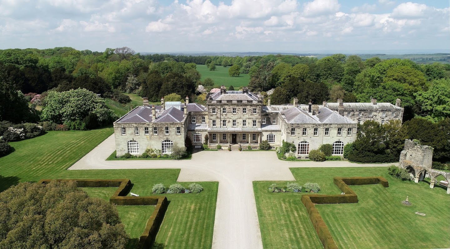
Birdsall House
Birdsall House, located in the picturesque village of Birdsall near Malton, offers a charming setting for events and weddings. While primarily an event venue, parking is available for visitors, likely requiring a pay-and-display ticket. Enjoy the stunning grounds and historic ambiance during your visit.
Browse by Type
Food & Drink

The Bay Horse Inn
The Bay Horse Inn, located in the charming village of Burythorpe near Malton, offers a cozy and welcoming atmosphere for visitors exploring the Yorkshire countryside. While the pub itself is a delightful stop for a meal or drink, parking is likely to be pay-and-display, typical of rural village settings. Enjoy your visit to this quaint establishment as part of your Yorkshire adventure.
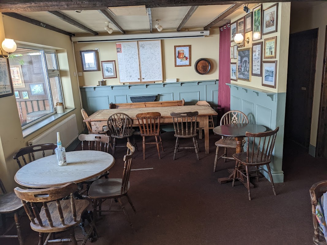
The Jolly Farmer Inn
The Jolly Farmer Inn, located in the charming village of Leavening, North Yorkshire, offers convenient pay-and-display parking for visitors. This delightful establishment is renowned for its exquisite Sunday roasts and warm hospitality, making it a perfect stop for tourists exploring the scenic countryside.
Browse by Type

Interactive Map
View accommodation, attractions, restaurants, and events on the map
Geographic Facts
This village is geographically within the following regions:
- Population
- 343
- Postcode
- YO17
- Administrative area
- North Yorkshire Council (formerly Ryedale)
Data sourced from Wikidata and verified public records
Upcoming Events in Birdsall
View All Events in Birdsall →No events found for Birdsall yet.
No events found for this period. Check back soon!
View all events in BirdsallLatest news from Birdsall
All Local News →
Natural England Proposes New Area of Outstanding Natural Beauty in Yorkshire Wolds
Natural England has proposed a new Area of Outstanding Natural Beauty in the Yorkshire Wolds, aiming for formal recognition to conserve its stunning landscapes for future generations.

From Local Farm to National Shelves: How a North Yorkshire Rapeseed Oil Business Wins Listing with Garden Centre Chain
A North Yorkshire farm business, Charlie & Ivy's, has landed a major nationwide listing! Find their award-winning rapeseed oil bread dippers in Dobbies now.

Walkshire in Birdsall
More Walks in Birdsall →
Walk: Dry Valleys of Thixendale
The dry valleys of the Yorkshire Wolds (created by the chalk bedrock) form a unique and fascinating landscape well seen on this walk from Thixendale. The Route what3words for start point: ///lend.spark.drawn Start Point: Thixendale Finish Point: Thixendale Distance: 7 Miles GPX Route Map thixendaleDownload Walk Description Thixendale is an attractive village with a pleasant pub. The walk climbs explores the uniform dry valleys to the north of the valley, particularly Deep Dale and the ruined settlement around Wharram Percy. The medieval settlement was deserted in 1500 but the remains offer an interesting perspective of life in the 500 years prior to that date. The return from Wharram Percy to Thixendale is a little longer and includes a second dry chalk valley. It is a unique landscape.

Walk: The Centenary Way
England's picturesque landscapes are woven with countless trails, but one that captures the essence of both natural beauty and historical depth is the Centenary Way. This long-distance footpath stretches approximately 209 kilometres (130 miles) and offers an immersive journey through the heart of Yorkshire. Established in 1989 to commemorate the 100th anniversary of the North and East Yorkshire County Councils, the Centenary Way is a path less travelled but rich with sights and stories. The Route what3words for start point: ///shot.before.large Start Point: York Minster, Deangate, York YO1 7HH Finish Point: Filey Distance: 130 miles GPX Route Map centenary-way-yorkshireDownload Walk Description Starting Point: York Minster The journey begins at the majestic York Minster, one of the largest cathedrals in Northern Europe. The Minster is not just a starting point but a symbol of the historical depth you'll encounter on this trek. From here, the path winds through the quaint streets of York, exiting the city into the expansive landscapes that characterize rural Yorkshire. Through the Vale of York and the Yorkshire Wolds After leaving York, the Centenary Way heads northeast towards the Howardian Hills, an Area of Outstanding Natural Beauty. The route meanders through lush valleys and woodlands, offering tranquil views and a peaceful walking experience. The path then continues into the Yorkshire Wolds, known for their rolling hills and deep dry valleys, providing breathtaking vistas and challenging hikes. Historical Highlights and Natural Beauty One of the most enchanting aspects of the Centenary Way is its rich tapestry of historical sites. Castles, ancient ruins, and historic villages dot the landscape. Highlights include the ruins of Sheriff Hutton Castle, the serene beauty of Castle Howard’s grounds, and the market towns like Malton, known for its food festivals and Roman history. The trail also passes through less frequented, but equally mesmerizing, areas such as the River Derwent and the quaint village of Filey. Here, the trail shifts dramatically as it approaches the coast, culminating in the dramatic cliffs and expansive views of the North Sea at Filey Brigg. Calling points Click on the callings points below for more information: York MinsterHuntingtonNew EarswickStrensallWest LillingSheriff HuttonTerringtonSlingsbyConeysthorpeCastle HowardWelburnLow HuttonMaltonNortonSettringtonNorth GrimstonBirdsallThixendaleWharram PercyWintringhamWest HeslertonSherburnPotter BromptonGantonHunmanbyFiley Practical Tips for the Trail Planning Your Visit: The Centenary Way can be tackled in sections or as a whole over several days. Accommodations range from rustic camping sites to comfortable B&Bs, allowing for various levels of comfort and budget. What to Bring: Prepare for variable weather by dressing in layers and carrying waterproof gear. Sturdy hiking boots are essential, as the terrain can vary from flat footpaths to rugged hillside trails. Navigation: Waymarking along the Centenary Way is generally good, but carrying a detailed map or a GPS device is recommended to avoid any off-track adventures.