
Discover Bolton Abbey
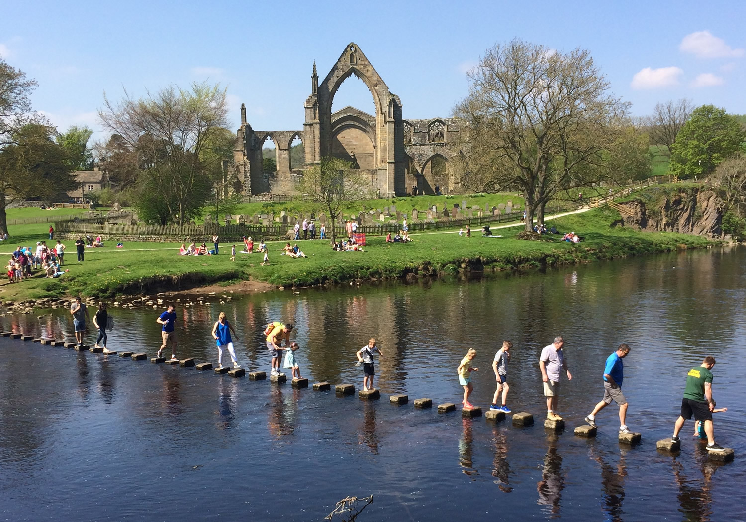
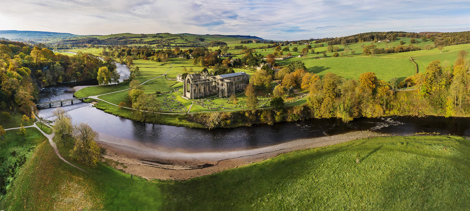
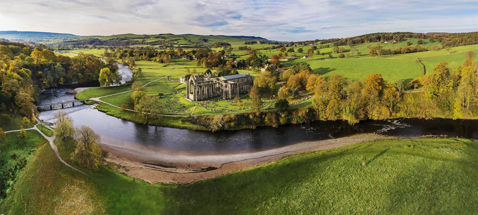
Bolton Abbey is a village located in North Yorkshire, governed by North Yorkshire Council (formerly Craven). With a population of 113, it is known for the historic Bolton Priory ruins and its scenic location within the Yorkshire Dales National Park. The area attracts visitors for its walking trails and natural beauty.
Explore the map below to discover accommodation, attractions, restaurants, and live events across Bolton Abbey. Scroll down to browse featured listings and plan your perfect visit.
Stay in Bolton Abbey
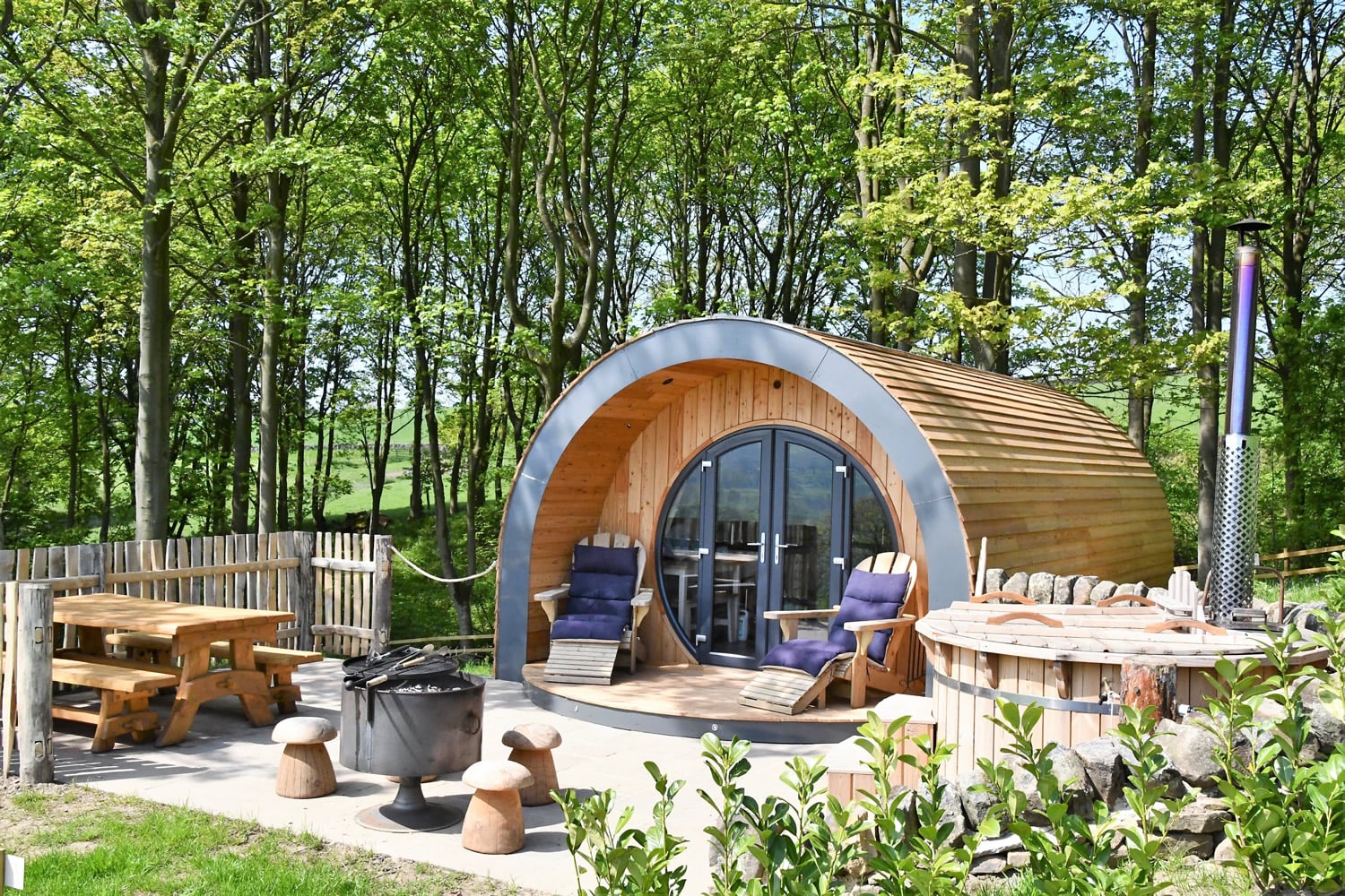
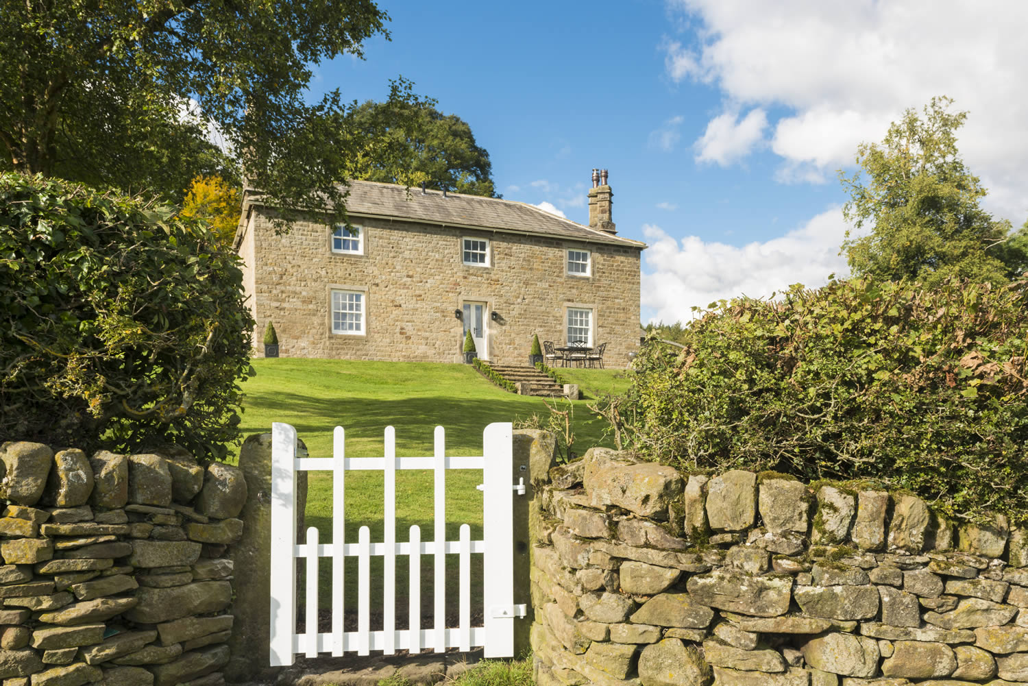
The Devonshire Arms Exclusive Cottages
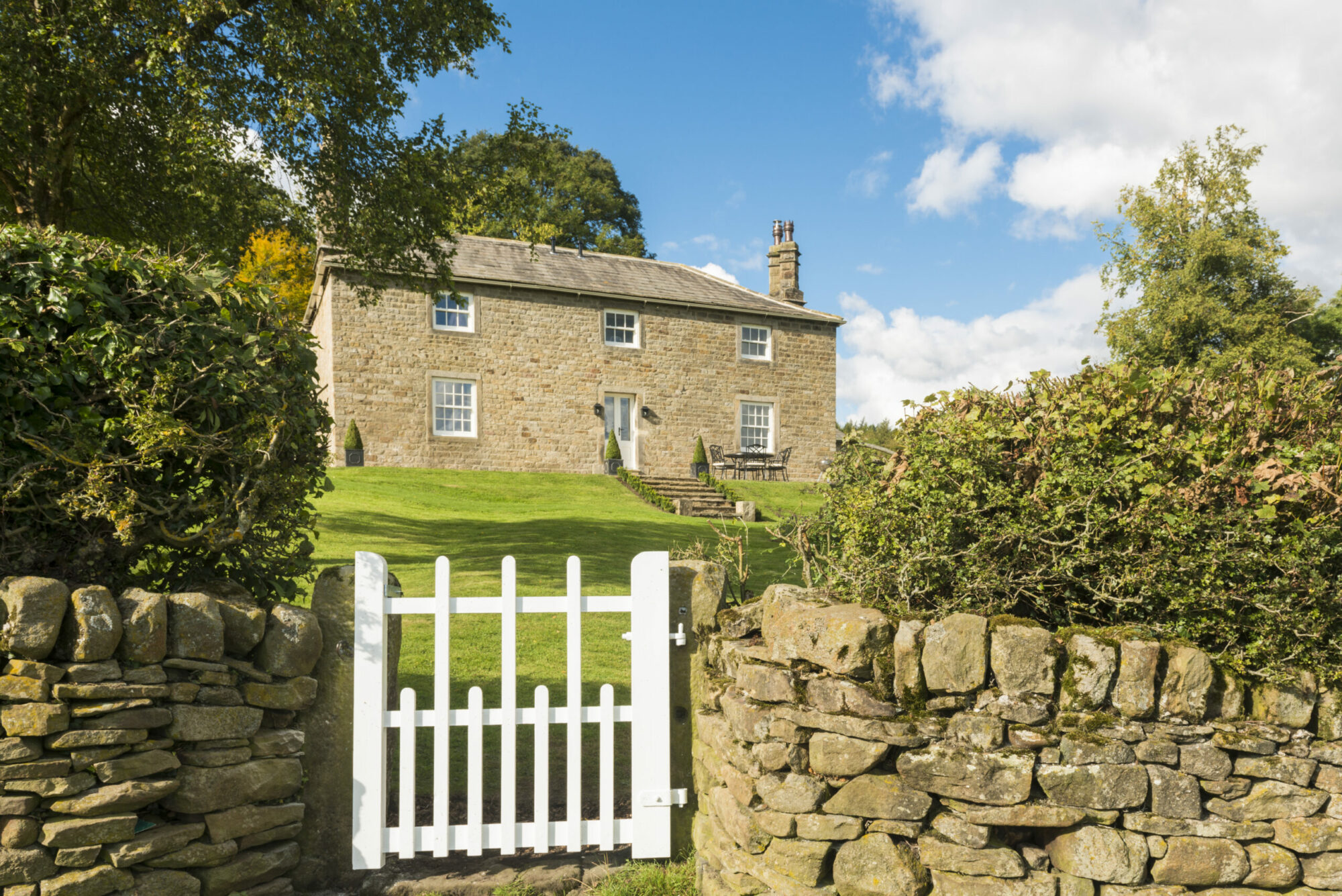
Stank House Farm

Wharfe View Cottage
This beautiful cottage is located on the renowned Bolton Abbey Estate and offers guests a perfect Rural Retreat boasting spectacular views across the Wharfe Valley and beyond.
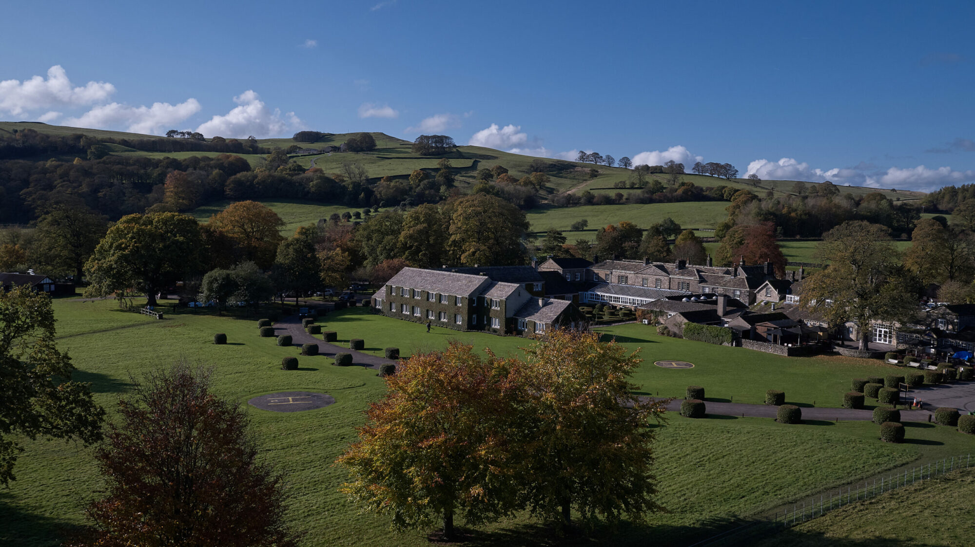
The Devonshire Arms Hotel & Spa
Browse by Type
Things to Do in Bolton Abbey
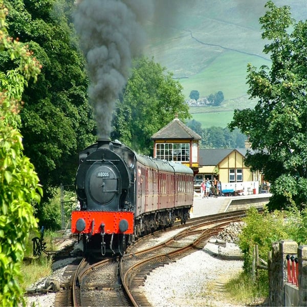
Embsay & Bolton Abbey Steam Railway
Browse by Type
Food & Drink
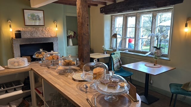
The Tea Cottage
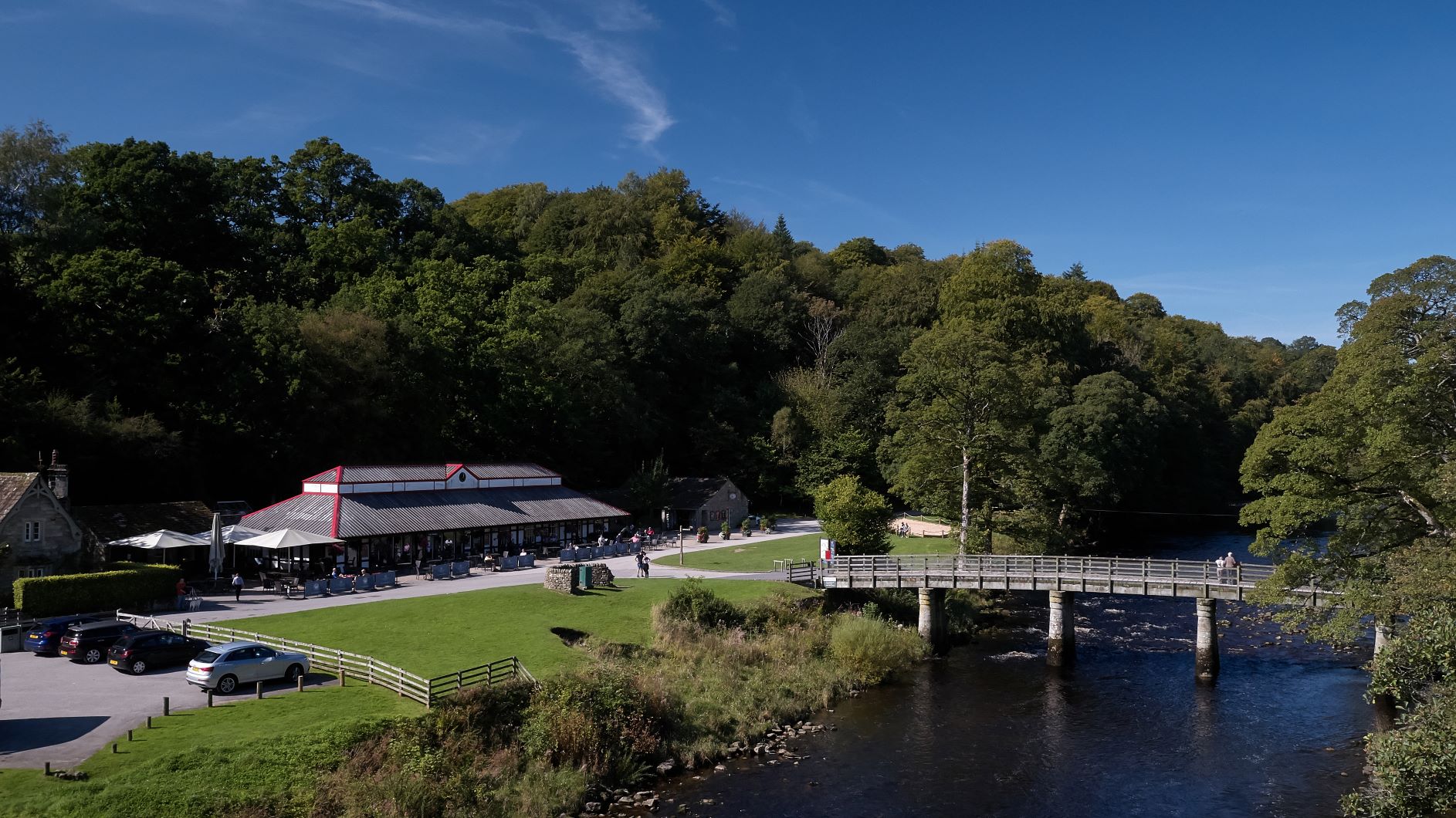

The Brasserie at The Devonshire Arms
Browse by Type

Interactive Map
View accommodation, attractions, restaurants, and events on the map
Geographic Facts
This village is geographically within the following regions:
- Population
- 113
- Administrative area
- North Yorkshire Council (formerly Craven)
Data sourced from Wikidata and verified public records
Upcoming Events in Bolton Abbey
View All Events in Bolton Abbey →




Latest news from Bolton Abbey
All Local News →
From Local Farm to National Shelves: How a North Yorkshire Rapeseed Oil Business Wins Listing with Garden Centre Chain
A North Yorkshire farm business, Charlie & Ivy's, has landed a major nationwide listing! Find their award-winning rapeseed oil bread dippers in Dobbies now.
Walkshire in Bolton Abbey
More Walks in Bolton Abbey →
Walk: Addingham and Bolton Abbey
A walk of real contrasts on the southern fringes of the Yorkshire Dales. With spectacular views from Chelker Reservoir to riverside walking on the Wharfe and the highlight an unusual approach to Bolton Abbey. The Route what3words for start point: ///donation.outfit.nightlife Start Point: Addingham, near the church Finish Point: Addingham Distance: 8.5 Miles GPX Route Map addleboroughandboltonabbeyDownload Walk Description From the village of Addingham near Ilkley climb through a golf course to Chelker Reservoir. After a short detour to the excellent view point at Haw Pike drop down to the River Wharfe. Continue along the Wharfe to Bolton Abbey, in fact an Augustinian priory. Cross the river and return to Bolton Bridge. Here join the Dales Way and follow The River Wharfe back to Addingham.

Walk: Bolton Abbey
An easy access walk at the delightful Bolton Abbey alongside the River Wharfe. This tranquil walk takes you past a well known section of the River Wharfe called The Strid. The Route what3words for start point: ///cello.lollipop.ratty Start / Finish Point: Sandholme Car Park, Bolton Abbey, Skipton BD23 6EX Distance: 4.6 Miles GPX Route Map drawaroute-14Download Walk Description An easy access walk at the delightful Bolton Abbey alongside the River Wharfe. For the first 1.8km of the route, the surface is compact stone at a width of at least 200cm. There are passing places and accessible benches along the full length of the route. Most of the route is flat with some areas having a gradient up to 1:10. From here, the route is unsurfaced with some gradients reaching 1:6.

Bolton Abbey to Simon's Seat Walk
A 6-mile out-and-back walk from Bolton Abbey, up through the Valley of Desolation, on to Simon’s Seat and back. Route Start: Bolton Abbey Finish: Bolton Abbey Distance: 6 Miles Route Map & GPX File bolton-abbey-simons-seatDownload Walk Description what3words for start point: ///puzzle.ballparks.limbs Enjoy a beautiful, varied walk from Bolton Abbey, up through the Valley of Desolation on to Simon’s Seat. Walk through heather moorland, woodland trails and past waterfalls and rushing becks, culminating in spectacular views from the walk’s summit. Expect a challenging 3-mile hike up to the summit, making the most of a well-signposted path that rises slowly before reaching a peak of 485m. Then the return walk follows the same trail back down to the Bolton Abbey Estate.