
Discover Boothferry
Boothferry is a village located in the East Riding of Yorkshire. Governed by the East Riding of Yorkshire Council, it is situated near the River Ouse. Known for its scenic rural landscape, Boothferry serves as a tranquil spot within the region, attracting visitors interested in exploring the surrounding countryside.
Explore the map below to discover accommodation, attractions, restaurants, and live events across Boothferry. Scroll down to browse featured listings and plan your perfect visit.
Stay in Boothferry
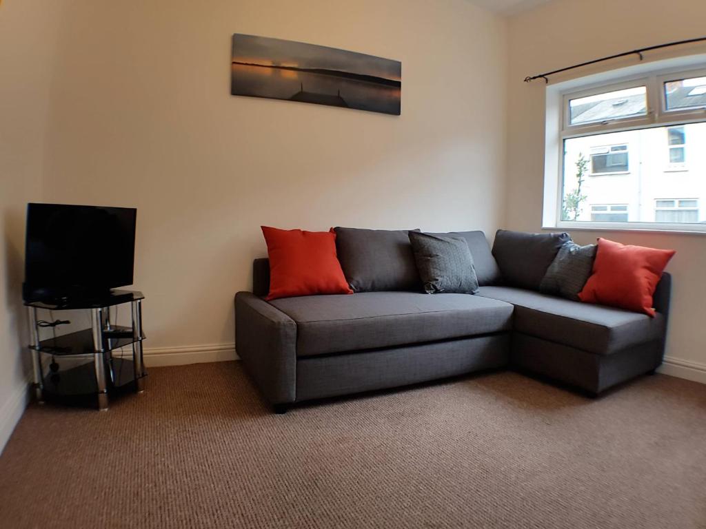
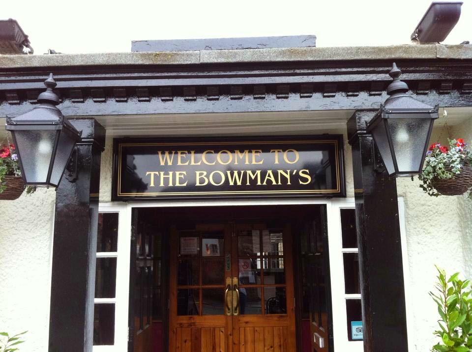
Bowmans
Discover Bowmans in Howden, offering comfortable stays and a welcoming pub atmosphere with delicious food and well-kept beers.
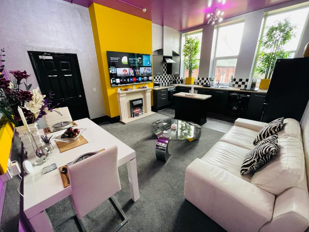
PHOENIX Boutique Apartments
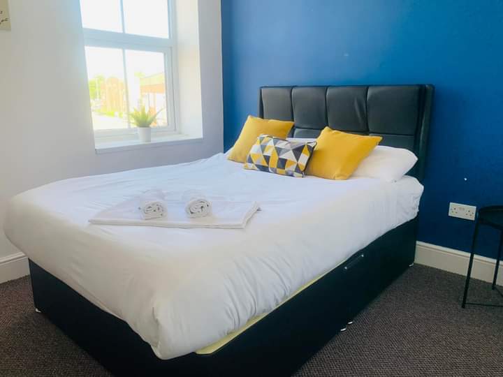
Sunshine Serviced Apartments & AptHotel in Goole for Contractors
Sunshine Serviced Apartments in Goole offers comfortable and convenient accommodation, ideal for contractors and visitors exploring Yorkshire.
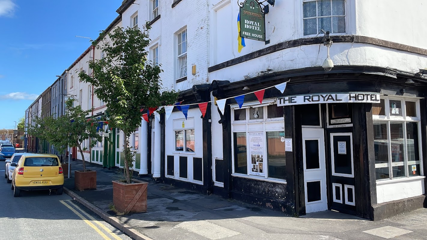
The Royal Hotel
The Royal Hotel in Goole provides comfortable accommodation and a lively pub atmosphere with regular events.
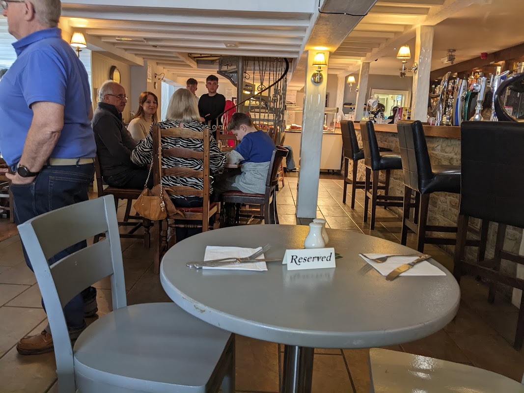
Blacksmiths Arms
Enjoy a warm welcome and delicious food, from hearty carveries to special breakfasts, at this highly-rated Hook pub.
Browse by Type
Things to Do in Boothferry
The Courtyard
The Courtyard in Boothferry offers convenient parking for visitors to its vibrant community center. Located on Boothferry Road in Goole, this facility provides easy access to a delightful cafe and event spaces. Ideal for tourists looking to explore the local area and enjoy a meal in a friendly atmosphere.
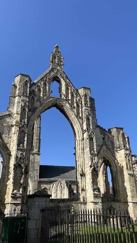
Howden Sculpture Sequence
Discover the unique Howden Sculpture Sequence, an intriguing artistic journey nestled within the historic town of Howden.
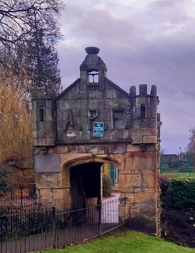
The Fruit House
Discover The Fruit House, a charming historical feature nestled within the picturesque grounds of 'The Ashes' estate in Howden.
Food & Drink
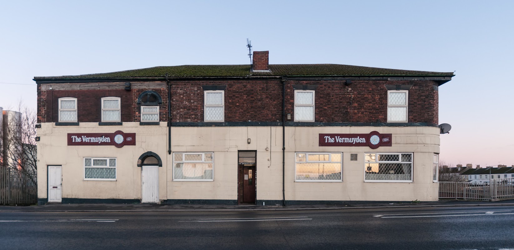
The Vermuyden
The Vermuyden is a friendly, traditional bar in Goole, celebrated for its welcoming atmosphere and great beer.

Olive Tree Coffee Shop
Enjoy a relaxed break at Olive Tree Coffee Shop in Howden, offering refreshments within a popular garden centre setting.
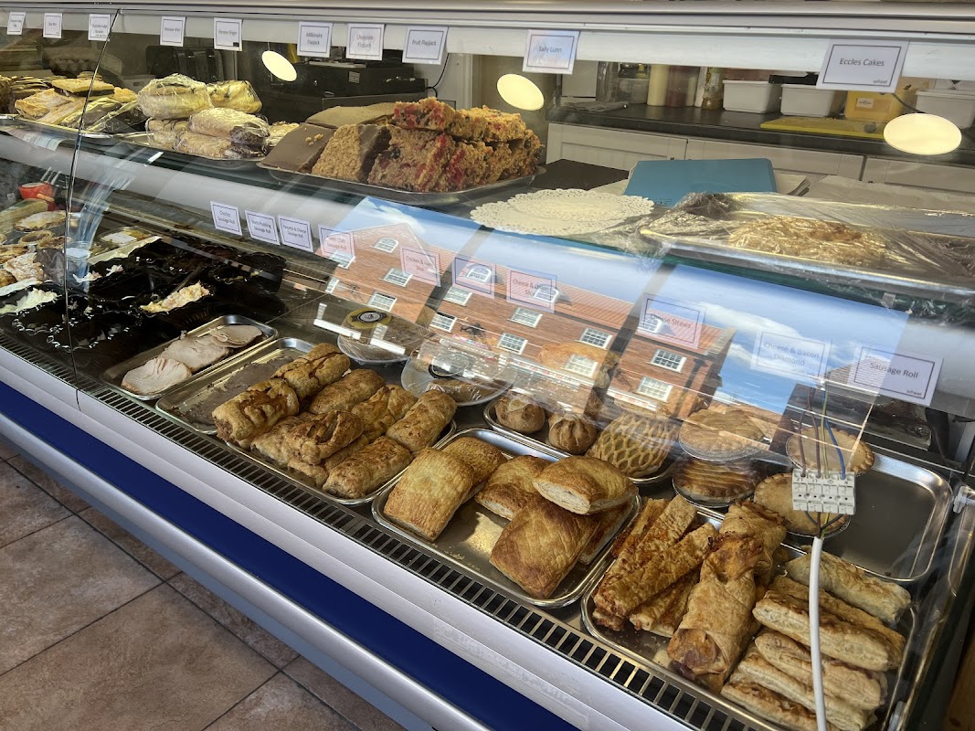
Bakery @ No.7
Bakery @ No.7 in Howden offers freshly baked goods, delicious breakfasts, and satisfying lunches in a friendly setting.
Browse by Type

Interactive Map
View accommodation, attractions, restaurants, and events on the map
Geographic Facts
This village is geographically within the following regions:
- Administrative area
- Howden
- Dialing code
- 01430
Data sourced from Wikidata and verified public records
Upcoming Events in Boothferry
View All Events in Boothferry →

Walkshire in Boothferry
More Walks in Boothferry →
Walk: Trans Pennine Trail
The Trans Pennine Trail is a long-distance path running from Southport on the West coast to Hornsea on the East Coast, across Northern England entirely on surfaced paths and using only gentle gradients. The Route Start Point: Southport Finish Point: Hornsea Distance: 208 Miles GPX Route Map transpenninetrailDownload Walk Description The main west–east trail starts at Southport, then heads south through the suburbs of Liverpool, through Widnes, Warrington, Manchester, Stockport and Hadfield. It then crosses the Peak District, heading up the Longdendale valley via the Longdendale Trail to Woodhead, then down through Dunford Bridge and Penistone, Doncaster, Selby, Hessle, Hull and Hornsea. This route covers 207 miles (333.1 km). Between Southport and Selby it is National Cycle Network, Route 62 and from Selby to Hornsea, NCN Route 65.